Canary Islands to Export Groundbreaking Climate Tool
The Canary Islands are set to export to the world a tool capable of anticipating water scarcity as a consequence of climate change. This is the Sicma Canarias platform, which can make climate predictions with a resolution never seen before: in grids of 100 metres high by 100 metres wide. In other words, whereas climate was previously analysed in areas the size of municipalities, it can now be done on the scale of a football pitch. This characteristic makes it a strategic resource for forecasting the impact of global warming on islands, where diverse microclimates cause miscalculations with conventional techniques.
International Acclaim for Local Innovation
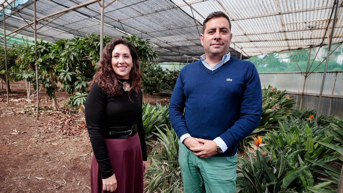
This initiative from a research group at the University of La Laguna (ULL), led by agroforestry engineer Noelia Cruz and forestry engineer Juan Carlos Santamarta, has been recognised with the prestigious international Chris Binnie Award from the UK’s Institution of Civil Engineers. An accolade that usually falls to large national scientific projects, it has on this occasion endorsed the “broad, strategic and replicable” impact of this platform designed jointly by the Climate Foundation (FIClima)– through researcher César Paradinas– and Meteogrid.
A Global Solution for Island Nations
This means the innovation originating in the Canaries can be extended to other islands worldwide to help them manage their water resources in the face of a future with higher temperatures and torrential rains. “We have already had some contact with other Outermost Regions (ORs), such as the French Caribbean, and also with other archipelagos like the Faroe Islands,” explains Santamarta, who notes that all the data contained on the platform is open and downloadable for anyone who needs it.
Born from the Needs of Farmers
Sicma Canarias has already attracted the attention of other research groups, the Canary Islands Government, and even public company Gesplan, but the researchers believe citizens will benefit the most. The request for a tool with these characteristics arose during a round of contacts with farmers in the context of the European project Arsinoe (Climate-resilient regions through systemic solutions and innovations). This scientific initiative was already recognised by the European Commission as an EU success story for its impact, transferability, and public utility in managing water on volcanic islands.
“They told us they couldn’t find climate data tailored to their needs,” highlights Cruz, who spent an entire year compiling information related to the water management needs of different population groups. “For them, it was important to have this information to know, for example, when to go and irrigate,” she explains. Thus, through the “main variables linked to the management of water resources and their impact on agriculture,” they gave birth to one of the most comprehensive tools for researching climate change on islands known to date.
Unprecedented Resolution Reveals Microclimates
“Until now, a maximum resolution of 3 kilometres had been achieved in the Canary Islands,” explains Santamarta, who emphasises that Sicma Canarias maps can show how climate conditions will change inside ravines. “These areas act as microclimates,” insists Santamarta.
Surprising Initial Findings for the Islands
Although the tool was launched relatively recently, scientists have been able to confirm some “surprising” results by applying it to the Islands. Among the most notable conclusions from using this tool is the temperature change that the ravines of La Gomera and Gran Canaria will undergo. “Thermometers will show notably higher temperatures,” stresses Santamarta, who insists this tool will help manage access to certain areas during heatwaves.
The application allows users to understand how climate change will progress in relation to temperature, aridity, precipitation, and heatwaves in the Canaries. Furthermore, it includes a section dedicated solely to the National Parks. “It is an innovative solution, which allows for climate projections up to 2100 with high resolution,” insists Cruz, highlighting the fact that the tool was created from within the public Academy to provide information that public institutions can use to carry out their climate policies.
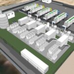
Energy storage framework finally approved for Canary Islands

US military hub near Canaries: what it means for Spain
Man arrested after wildfire in Masca ravine spread near homes
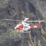
Injured hiker airlifted from Güigüí

New indicator reveals sea temperature rise around Canary Islands

Emergency backpack: what to pack for a quick evacuation
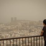
Saharan dust levels rise in Europe, study finds
Tenerife paves way for green hydrogen at Granadilla port

Green light for Tenerife’s Güímar pumped-storage hydro plant