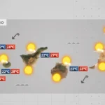
Temperatures on the rise across the archipelago
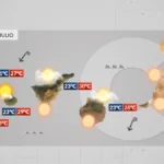
The heat is set to intensify in Tenerife and across the rest of the Canary Islands over the coming days. The State Meteorological Agency (Aemet) forecasts a rise in temperatures between Wednesday and Thursday, with warm conditions bringing highs of over 30°C across wide areas of the archipelago.
Gran Canaria set for the hottest conditions
In Gran Canaria, thermometers are expected to reach 34°C, and could even hit 37°C in some spots in the mid-altitude areas and higher zones facing south and west. Although Tenerife is not among the islands with a heat warning, forecasts also point to an increase in maximum temperatures and sweltering days, especially in the mid-altitude regions and on sun-exposed slopes. According to Aemet, this pattern is expected to persist until the weekend, and it will not be until Sunday that temperatures may return to milder values.
Strong winds prompt warnings
In addition to the heat, the trade winds will blow strongly across much of the Canary Islands. Aemet maintains yellow wind warnings for Thursday and Friday in Gran Canaria, La Gomera and El Hierro, where gusts of up to 70 km/h are expected, particularly on the eastern, southern and western slopes. There is no wind warning on land for Tenerife, although a yellow warning for coastal phenomena has been activated due to northeast winds of force 7 (between 50 and 61 km/h) affecting the eastern, southern and western coasts of the island and the maritime channel between Tenerife and Gran Canaria. This warning will be in effect from 4:00 p.m. on Thursday until midnight and will continue throughout Friday.
Heatwave to ease by Sunday
The highest temperatures are expected in Gran Canaria. Aemet has activated a yellow warning for maximum temperatures of up to 34°C in the mid-altitude areas and higher zones facing south and west, above 500 or 600 metres in altitude. Furthermore, the agency does not rule out that, locally, thermometers could reach 37°C. Aemet’s forecast indicates that this hot spell will continue for the next few days. From Sunday onwards, there is a possibility that temperatures will drop and return to more typical values for this time of year, although the trend will depend on the behaviour of the trade wind regime.
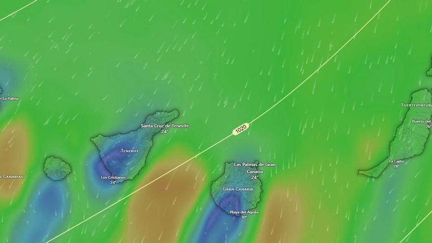
Wednesday: stable alisios, calima, and strong gusts
Tenerife beaches closed: raw sewage and E. coli fears
Fuel spill prompts marine pollution alert in Gran Canaria
Tuesday: Strong winds and a calima haze
Monday: summer sun, strong winds, and calima aloft
Tenerife weather: stable Sunday with calima and strong winds
Sunday: Saharan dust and gusty trade winds

Saturday: calima and strong winds for the weekend
Tenerife volcanic traffic light not needed, says minister