Pre-Alert Activated for Saharan Dust
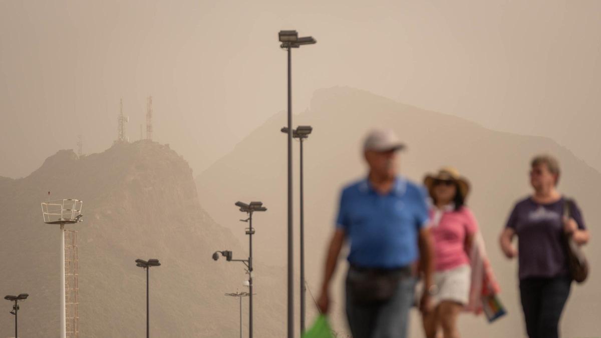
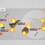
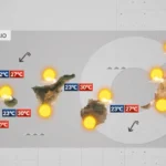
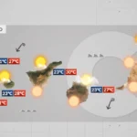
The weather in Tenerife has taken another turn this Thursday with the activation of a pre-alert for calima across the entire Canary Islands. The regional government decreed the measure, which came into effect from 13:00 hours. Based on data from the State Meteorological Agency (AEMET), it responds to the arrival of an intrusion of Saharan air which will gain intensity in the coming days.
Forecast for Tenerife and the Archipelago
The episode begins this Thursday with light calima in higher areas but will evolve rapidly. According to forecasts, the situation will intensify from tonight and during Friday it will more clearly affect mid-altitude areas and summits of Tenerife, especially on south-facing slopes. Although the impact will initially be lesser in zones below 300 metres, the trend is for the calima to spread progressively, leaving a hazier and drier atmosphere across the island.
Across the archipelago, the episode will begin in the eastern islands and gradually extend to the rest. Gran Canaria will be one of the first to notice a significant increase in calima from Thursday night, while on Friday the phenomenon will also intensify in Fuerteventura, Lanzarote, La Gomera and Tenerife.
Weekend Worsening and Health Advice
Looking ahead to the weekend, AEMET predicts a widespread deterioration, with a higher concentration of suspended dust across all islands. This will cause reduced visibility and a heavier, more oppressive atmosphere. This type of situation can impact health, particularly for people with respiratory or chronic illnesses, so it is recommended to take extra precautions and follow the self-protection advice from authorities.
In short, Tenerife is entering a calima episode that will intensify in the coming days, within a scenario of heat and Saharan air that will define the weather in the Canaries until the weekend, as warned by AEMET and the regional government.
Thursday: strong winds, calima and 37°C on Gran Canaria
Canary Islands heatwave: Temperatures to hit 37°C
Wednesday: stable alisios, calima, and strong gusts
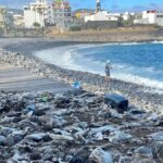
Tenerife beaches closed: raw sewage and E. coli fears
Fuel spill prompts marine pollution alert in Gran Canaria
Tuesday: Strong winds and a calima haze
Monday: summer sun, strong winds, and calima aloft
Tenerife weather: stable Sunday with calima and strong winds
Sunday: Saharan dust and gusty trade winds