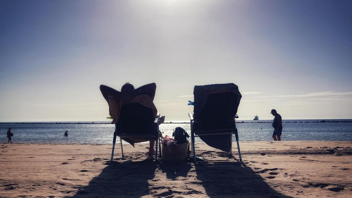
Summer Mode Activated for Easter
The Canary Islands are switching to ‘summer mode’ just in time for Easter. After several weeks affected by the heavy rains of Storm Therese, this week will see a predominance of sunshine, strong radiation, and rising temperatures, with thermometers reaching highs of between 23 and 27 degrees Celsius.
Intense but Brief Calima Episode
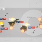
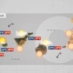
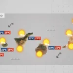
However, before the skies are completely clear, they will be clouded by calima. This Tuesday, an intense – though brief – episode of suspended dust will arrive in the Canaries. According to David Suárez, the delegate of the State Meteorological Agency (Aemet) in the archipelago, concentrations of up to 150 micrograms per cubic metre of particulate matter smaller than 10 microns (PM10) could be recorded during the day.
The calima began to make an appearance today, although in low proportions. Specifically, according to the Air Quality Control and Surveillance Network in the Canary Islands, concentrations of up to 50 micrograms per cubic metre of PM10 were reached at specific times of the day in some points of the metropolitan areas of Tenerife, Gran Canaria, Lanzarote, and Fuerteventura.
Health Warnings and Precautions
Aemet has activated a yellow warning for high calima concentrations from today, Monday, while the Canary Islands Government has opted to activate a pre-alert for this phenomenon. This Saharan air layer – which made a timid appearance today – will sit at a low altitude from tomorrow, having a greater impact on public health, visibility, and the perceived temperature. In this regard, according to Meteorology, thermometers will register highs three degrees above the average this Tuesday.
This triples the PM10 pollution levels recommended by the World Health Organisation (WHO). To avoid adverse health effects, the Ministry of Health recommends that the public take precautions such as avoiding prolonged exposure to outside air, keeping windows closed, and refraining from strenuous physical activity outdoors.
High concentrations of suspended dust (particles) can cause mild symptoms like irritation of the nose and throat, itchy eyes, or coughing, but also more serious ones. It can trigger asthma attacks in those who suffer from the condition or worsen the clinical state and symptoms of patients with respiratory or heart diseases. The probability of upper or lower respiratory tract infections also increases.
Trade Winds to Bring Clear Skies
The calima episode will last barely two days, as the trade winds will begin to blow strongly from Thursday, dispersing all the suspended dust that has clouded the skies. “For the last days of the week, we will have a calm situation, with the usual characteristics of the Azores High: sunshine and more cloud in the north of the islands,” Suárez indicates.
This will happen because two anticyclonic centres dominating the mid-Atlantic will merge into one by Wednesday. This high-pressure area will then prevail across the entire ocean from the American coasts to the Iberian Peninsula. “It will be an almost summer-like situation,” Suárez emphasises. In fact, ultraviolet radiation will remain at very high levels across most of the archipelago. For this reason, the Ministry of Health recommends using sunscreen, sunglasses, and a hat when going outside, as well as avoiding direct sun exposure during the middle of the day.
Windy but Dry Outlook
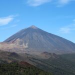
During these days, the wind will pick up and could be intense in some exposed areas – such as the channels between islands – reaching up to 90 kilometres per hour in some spots. On Thursday, temperatures will drop “a little”, but not enough to spoil any beach plans. The probability of rain, in this sense, will be very low and almost nil. “We only see a signal of low clouds on Mount Teide for Wednesday,” explains Suárez, who insists this prediction could change.
Monday: summer sun, strong winds, and calima aloft
Tenerife weather: stable Sunday with calima and strong winds
Sunday: Saharan dust and gusty trade winds
Saturday: calima and strong winds for the weekend
Tenerife volcanic traffic light not needed, says minister
Thursday: Heat and strong winds across the Islands

Wednesday: warmer weather across the Islands
Tuesday: stable weather and rising temperatures

Monday: stable skies and a flat Atlantic