Compiled with the help of artificial intelligence, based on Spanish-language information. Source below the article.
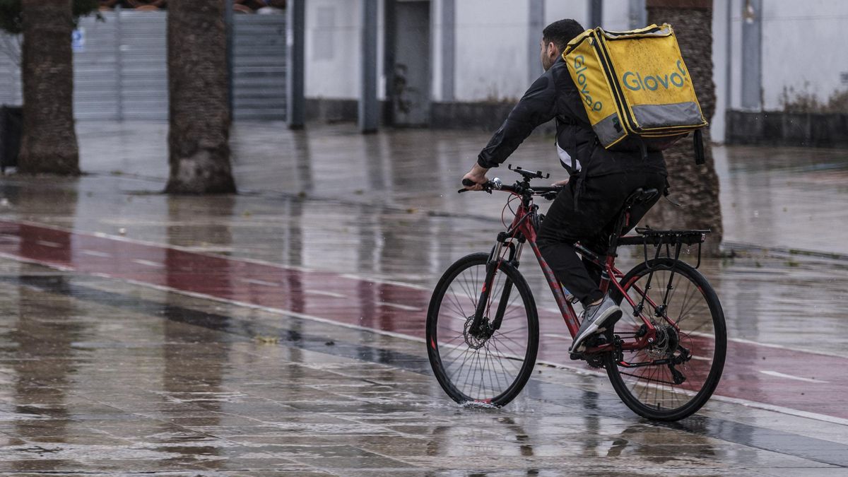
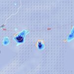
The Directorate-General for Emergencies of the Government of the Canary Islands has declared a pre-alert for rain in Lanzarote, La Graciosa, Fuerteventura and the northern slopes of Gran Canaria and Tenerife from 3pm this Friday, 9 October, amid forecasts of heavy showers and possible isolated thunderstorms.
Measure based on AEMET forecasts
The measure has been adopted on the basis of information provided by the State Meteorological Agency (AEMET) and other available sources, in application of the Canary Islands’ Specific Emergency Plan for Adverse Meteorological Phenomena (PEFMA).
The weather forecast points to heavy, scattered showers, which could be accompanied by an isolated thunderstorm. Rainfall could reach or exceed 15 millimetres per square metre in an hour, especially during the afternoon and evening of this Friday.
Heaviest rainfall expected in the eastern islands
The risk of intense rain will not be the same across all the islands. According to information released by the regional government, instability will decrease towards the west of the archipelago.
The most intense rainfall is more likely in Lanzarote, La Graciosa and Fuerteventura, while on the northern slopes of Gran Canaria and Tenerife the chance of heavy rain being recorded will be lower.
The declaration of the pre-alert forms part of the monitoring measures for adverse meteorological phenomena in the Canary Islands, given the possibility of locally intense rainfall over the coming hours.
What’s happening in the Canaries – straight to your phone
News, weather alerts and practical updates – direct from the islands, in English. We live here and know what’s going on – before the international media catch up. Everything lands on our WhatsApp channel – no middlemen, no algorithm. Curated for families, expats and travelers.

Canary Islands rain pre-alert lifted after wet weekend

Sunday: scattered clouds and light showers
Playa Jardín in Puerto de la Cruz reopens after water quality tests

Saturday: showers and rough northern seas
Lanzarote yellow warning for heavy rain this weekend
Canary Islands record hottest September since 1961

Wednesday: scattered showers and cooler air
Canary Islands braced for rain and storms this week

Rain pre-alert issued for five Canary Islands