Compiled with the help of artificial intelligence, based on Spanish-language information. Source below the article.
October, the month of Halloween and the run-up to Christmas, is about to begin, even if the thermometer still suggests an endless summer in the Canary Islands. Yet the change is already being felt, if only tentatively: overcast skies and rain have begun to appear across the archipelago, and this week, as September finally bids farewell, the showers will return to some of the islands.
North-easterly winds bring cloudy fronts
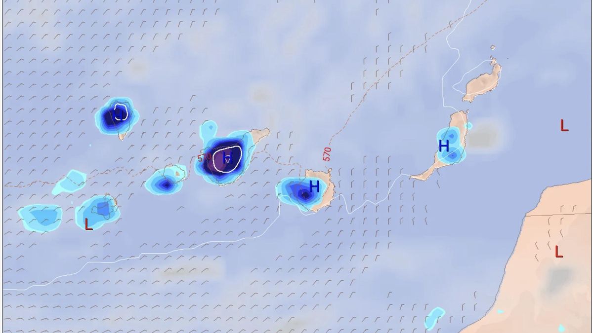
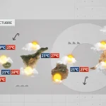
According to the European model (ECMWF) forecast, the north-easterly winds will continue to blow for the remainder of the week, but they will bring cloudy fronts that will leave rain in the western islands and Gran Canaria, particularly in Tenerife and La Palma.
This is the forecast from the State Meteorological Agency (Aemet) for the Canary Islands over the coming days.
Thursday: rain likely in La Palma
Cloudy in La Palma, with rain probable. On the other mountainous islands, cloudy intervals in the north during the first and last hours of the day, and little cloud elsewhere, tending to become cloudy in inland areas during the central hours of the day, with the occasional shower. Little cloud or clear skies in Lanzarote and Fuerteventura. Temperatures will see little change. Locally, 30°C could be reached in mid-altitude and low-lying areas of the islands, mainly in the south of the central and easternmost islands. Moderate north-easterly wind.
Friday: cloudy skies in the north
Predominantly cloudy skies in the north of the mountainous islands, with a low probability of light rain. Little cloud in the remaining areas. Temperatures with little change. Moderate north-easterly wind.
Saturday: calima at altitude in the eastern islands
Cloudy intervals in the north of the mountainous islands, clearing widely during the central hours of the day. Little cloud or clear skies elsewhere. In the eastern islands, calima at altitude. Temperatures unchanged or slightly rising. Moderate north-easterly wind.
Rain to return at the start of October
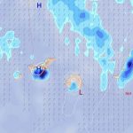
According to the maps from the European model (albeit with a wide margin of uncertainty), no rain is expected over the weekend, but as the new week begins — the first of October — showers will return to parts of the Canary Islands. Tenerife is expected to see the most rain under this model, although in the end rain is forecast to fall on all the islands.
The heaviest increase in rainfall will be in the western province, leaving substantial accumulated totals in inland Tenerife, which may also be accompanied by thunderstorms. Winds will generally be light and from the north-east or east. As for temperatures, they will also begin to fall.
What’s happening in the Canaries – straight to your phone
News, weather alerts and practical updates – direct from the islands, in English. We live here and know what’s going on – before the international media catch up. Everything lands on our WhatsApp channel – no middlemen, no algorithm. Curated for families, expats and travelers.

Monday: cloud cover and scattered showers

Canary Islands rain pre-alert lifted after wet weekend
Sunday: scattered clouds and light showers

Rain pre-alert issued for Lanzarote, Fuerteventura and more
Playa Jardín in Puerto de la Cruz reopens after water quality tests
Saturday: showers and rough northern seas
Lanzarote yellow warning for heavy rain this weekend

Canary Islands record hottest September since 1961

Wednesday: scattered showers and cooler air