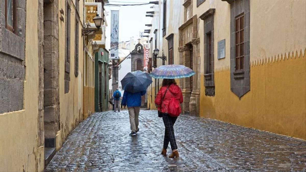
Normal and Wet Winter Concludes with Climate-Linked Storms
The Canary Islands have closed a normal and humid meteorological winter, marked by a slight warm anomaly in February and the passage of three high-impact storms—a record number. These storms entered from the north, unlike the typical Atlantic pattern, and are associated with climate change. This was outlined in a press conference this Tuesday by David Suárez, the delegate of the State Meteorological Agency (Aemet) in the Canary Islands.
A Shift from the Previous Winter’s Trend
Suárez noted that in recent months, record low temperatures have not been reached on the islands, as December was the 21st coldest and January the 29th coldest in the historical series. However, he admitted there has been a change in trend compared to the previous winter. Although this week sees a cold anomaly of between 1 and 3°C below the historical average, these below-normal values are expected to soften slightly for the remainder of March, with no “very radical change in trend” forecast. He warned that the monthly prediction does not yet extend to Easter, which will be available shortly on the Aemet website.
Seasonal Balance: Temperatures and Rainfall
On the cusp of spring, which begins in the islands at 14:46 on 20 March, Suárez assessed the climatology recorded in the archipelago between 1 December 2025 and 28 February 2026. “From the point of view of temperature and precipitation, it has been a slightly warm winter, but from a statistical point of view, it has had a normal and humid character.” Throughout December and practically all of January, temperatures were below normal values, with the coldest anomaly, 4.4°C below average, on 13 December associated with Storm Emilia.
However, from February onwards, the behaviour was very different, with temperatures practically above normal. The peak was recorded on the 23rd, when the anomaly reached 5 degrees in the context of a calima episode. Regionally, the average winter temperature in the Canaries was 15.4°C, representing a normal character and a slight positive anomaly of 0.2°C. This climatological behaviour resulted in 27 low-temperature records in December, five in January, and 13 in February, but the latter were associated with high temperatures.
Notable Calima Episodes and Sunshine Hours
The Canary winter was humid, as shown by the average rainfall recorded, which was 22% more than expected. Rainfall in December was 33% higher, and in January, it rained almost twice the expected amount. February, however, was a dry month, with only half the expected rainfall. David Suárez also highlighted two significant calima episodes recorded in February, with an average concentration of 256 micrograms per cubic metre of air. He recalled that the most frequent period for calima in the low-lying areas of the islands is between December and February.
Furthermore, he reported that the Canary winter had 641 hours of sunshine, a value slightly above average, while sea temperature recorded a slight positive anomaly, averaging 20.36°C.

Saturday: calima and strong winds for the weekend
Tenerife volcanic traffic light not needed, says minister

Thursday: Heat and strong winds across the Islands

Wednesday: warmer weather across the Islands

Tuesday: stable weather and rising temperatures

Monday: stable skies and a flat Atlantic

Tenerife weather: Cloudy intervals and 28°C highs for Sunday

Sunday: a calmer day with sunny spells

Tenerife weather: cooler Saturday with clouds and light rain