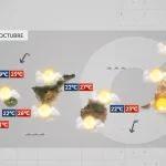
Compiled with the help of artificial intelligence, based on Spanish-language information. Source below the article.
Autumn is advancing across the Canary Islands with temperatures still warm, but little by little overcast skies and rain are gaining prominence across the archipelago. According to the European weather model (ECMWF), it will begin to rain in scattered spots across the islands from Sunday. Although there is still some margin of uncertainty given how far ahead the forecast is, the rain is expected to intensify by Tuesday and Wednesday, when it will fall across all the islands, in some places accompanied by storms.
The forecast for the coming days
This is the forecast from the State Meteorological Agency (Aemet) for the coming days in the Canary Islands:
Friday
Generally slightly cloudy. On the mountainous islands, cloudy intervals in low-lying areas of the north during the first and last hours of the day, and cloudy with occasional rain on the southern and western slopes of inland areas. Light calima in mid-altitude and high areas. Temperatures with little change. Light north-easterly wind in general, stronger on exposed coasts.
Saturday
Slightly cloudy or clear, with cloudy intervals in Lanzarote, Fuerteventura and the north of the other islands in the morning and at dusk. Low probability of weak rain in mid-altitude areas of the mountainous islands during the last hours of the day. Light calima in mid-altitude areas and summits, easing from midday. Temperatures falling slightly to moderately. North to north-easterly wind, stronger in exposed areas.
Sunday
Cloudy intervals in general with occasional weak rain, tending in the afternoon in the north of the larger islands to cloudy or overcast with weak rain, locally persistent. Temperatures unchanged or falling slightly. Moderate north-easterly wind, occasionally strong on the south-eastern and north-western slopes of the mountainous islands.
Monday
In Lanzarote and Fuerteventura, cloudy intervals tending to slightly cloudy in the afternoon. On the mountainous islands, cloudy intervals in the morning with weak rain in the north and east, and in the afternoon clearing widely along the coasts and tending to cloudy in inland areas, with occasional heavy showers. Temperatures falling slightly, more markedly in the maximums. Light variable wind, with intervals of moderate northerly wind during the early hours.
Rain intensifies from Tuesday
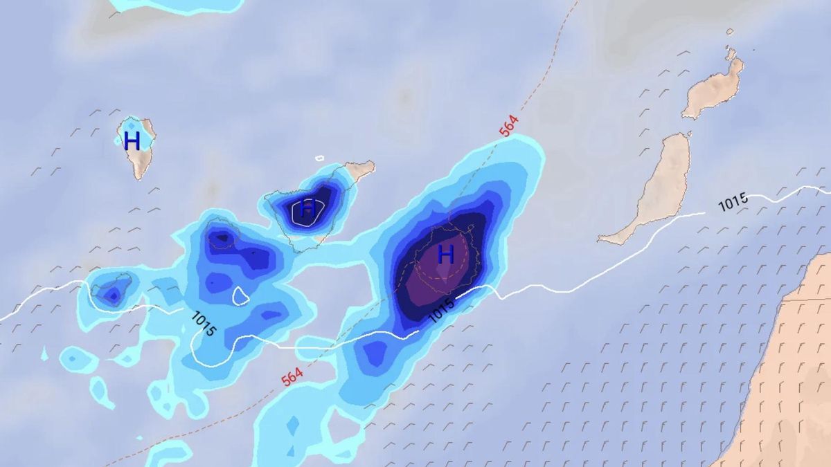
From Monday onwards, still with a margin of uncertainty given how far ahead the forecast is, the European model indicates that a front will approach the islands from the west, bringing abundant rainfall to the western islands and Gran Canaria. The wind, which will initially blow from the north, will eventually ease.
By Tuesday and Wednesday, the rain will intensify and could be accompanied by storms, above all in Tenerife and El Hierro, although they will also leave substantial accumulations in Gran Canaria. Weaker rainfall is not ruled out in Lanzarote and even in Fuerteventura.
What’s happening in the Canaries – straight to your phone
News, weather alerts and practical updates – direct from the islands, in English. We live here and know what’s going on – before the international media catch up. Everything lands on our WhatsApp channel – no middlemen, no algorithm. Curated for families, expats and travelers.

Tuesday: heavy showers and storms in El Hierro

El Hierro issued yellow warning for heavy rain

Monday: autumn showers and a cooler feel

Sunday: scattered clouds and showers on the islands

Saturday: cooler air and clearing Saharan dust

Friday: summer heat before an autumnal weekend

Tuesday: cloud, showers and a building swell

Monday: cloud cover and scattered showers

Canary Islands rain pre-alert lifted after wet weekend