Asian hornet discovered in Las Palmas: urgent action guide released
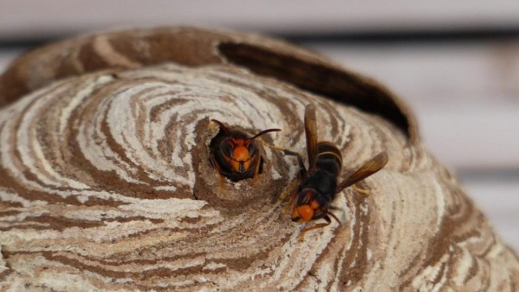
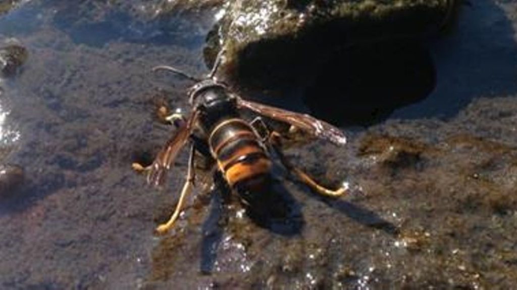
A colony of Asian hornets has been discovered in a tree in Las Palmas de Gran Canaria, prompting the release of a seven-month-old guide for coordinated action. The invasive species poses a severe threat to the archipelago’s fragile ecosystems, including over 140 species of wild bees. Experts are calling for a multidisciplinary response based on experience from other affected regions.
Asian hornet discovered in Las Palmas: urgent action guide released Read More »