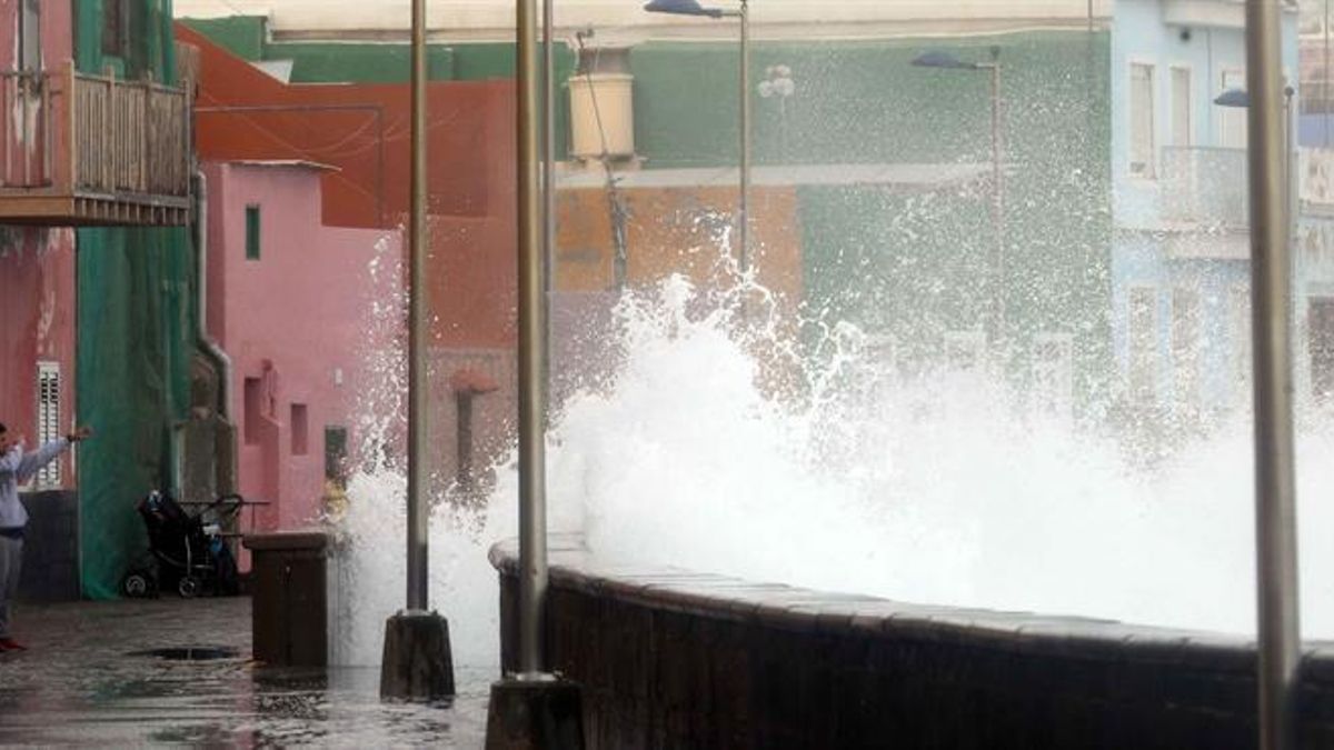
Weather Warnings for Canary Islands Coastlines
The Canary Islands will be under weather warnings for strong waves and wind gusts of up to 70 kilometres per hour (km/h) from 6:00 PM this Sunday, according to the State Meteorological Agency (Aemet). Specifically, there is a yellow risk warning for coastal phenomena on the coasts of Lanzarote, and the east, south, and west of Tenerife and Gran Canaria.
Strong Winds Forecast Across the Archipelago
Meanwhile, strong winds will affect El Hierro, La Gomera, the summits and western side of La Palma, the summits of Gran Canaria, and all of Tenerife except the metropolitan area. Across Spain, the passage of a cold front through the eastern half of the mainland and the Balearic Islands, combined with the formation of a low-pressure system in the Mediterranean, will cause a sharp and widespread drop in temperatures across most of the country on Sunday, along with rainfall in many parts of the peninsula.
National Weather Picture: Rain, Storms and Snow
In fact, Aemet has activated weather warnings in 13 autonomous communities for various phenomena, with a particular focus on rain and storms in the east and south of the mainland, wind in several regions, and snow in mountain areas. Specifically, it has issued warnings for rain and storms in Andalusia and Castilla-La Mancha, where locally heavy showers with possible hail are expected.
Warnings for coastal phenomena and wind are active in Andalusia, the Principality of Asturias, the Balearic Islands, Cantabria, Catalonia, Galicia, the Basque Country, the Valencian Community, Ceuta and Melilla, with varying levels ranging from yellow to orange throughout the day. Inland, snow warnings affect Aragon, Castilla y León, Catalonia, the Chartered Community of Navarre and La Rioja, with significant accumulations forecast at high altitudes.
Detailed Forecast for Mainland Spain and Balearics
In eastern Andalusia, the Region of Murcia, Albacete and Alicante, showers with locally strong storms are likely. In Galicia and the Cantabrian coast, skies will also be cloudy with showers that could be locally heavy. In the rest of the Peninsula, slightly cloudy or partly cloudy skies will predominate, with the possibility of the occasional shower on the central plateaus.
The snow level will be around 800-1,100 metres in the far north of the peninsula, with significant accumulations at higher altitudes and occasional drops to 600-800 metres. In the central and eastern mountains, it will settle between 1,500 and 1,800 metres, with possible light snowfall. Morning fog banks are likely in mountain areas.
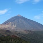
Conditions in the Canaries and Temperature Outlook
In the Canaries, skies will be cloudy with precipitation on northern slopes and partly cloudy intervals in the south. Temperatures will drop widely across the Peninsula and Balearics, with notable decreases in maximums in the Balearics and the centre and eastern half of the peninsula, and even extraordinary drops in the northeast quadrant.
Regarding the breakdown of temperatures by province, the highest maximums will be recorded in Seville (25°C), Cordoba (23°C) and Badajoz, Huelva and Malaga (all 22°C). Conversely, the lowest minimums will be in Lugo (1°C) and in Burgos, Leon, Soria and Teruel (all 2°C). The wind will blow moderately from north and west components in the Peninsula and Balearics, with very strong westerly gusts in the Strait of Gibraltar, a strong northerly wind (cierzo) in the Ebro valley, and a strong northerly wind (tramontana) in the Ampurdán area. In the Canaries, the trade winds will blow strong with very strong gusts.
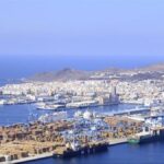
Fuel spill prompts marine pollution alert in Gran Canaria

Tuesday: Strong winds and a calima haze

Monday: summer sun, strong winds, and calima aloft
Tenerife weather: stable Sunday with calima and strong winds

Sunday: Saharan dust and gusty trade winds

Saturday: calima and strong winds for the weekend
Tenerife volcanic traffic light not needed, says minister

Thursday: Heat and strong winds across the Islands

Wednesday: warmer weather across the Islands