
Compiled with the help of artificial intelligence, based on Spanish-language information. Source below the article.
Flood risk zones triple in ten years
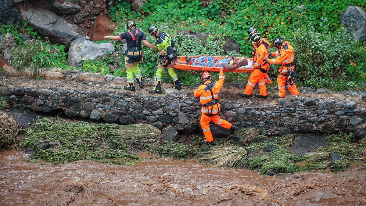
Tenerife has tripled the number of areas at risk of flooding in just over a decade. The updated map, which outlines the Island’s most exposed zones, has been released by the Tenerife Island Water Council (Ciatf), showing the number of areas deemed to be at significant potential risk has risen from eight in 2015 to 27 today, spread across 30 sub-sections in 16 municipalities.
Given the threat of further flash floods and intense rainfall, the diagnosis also urgently extends the stretches of riverbed under extreme surveillance from 20 to 101 kilometres across the Island. This increase reflects a combination of changes to the landscape, more severe weather events, and a substantial improvement in the ability to detect and measure risk.
Wildfire legacy and new danger zones
The great forest fire of 2023, which affected around 15,000 hectares, left large areas of the midlands and summits without the vegetation cover that previously retained and absorbed some of the rainfall. Since then, intense downpours have been able to generate more runoff, pulling soil, ash and sediment towards the watercourses, increasing the danger of flash floods. This is evident in the Agua de Dios ravine in Tegueste, and particularly in areas downstream of those affected by the fire.
Added to this are the intense rainfall events of recent years, which have highlighted the capacity of some ravines to concentrate large volumes of water in a short space of time, leading to a review of scenarios previously excluded from the maps. This is the case for various channels in the south and southwest, such as Torviscas in Adeje, and Aquilino and Las Arenitas in Arona, as well as other points in the north of the Island, such as the Martiánez channel, which at over 12 kilometres is the longest and most extensive flood risk sub-section studied anywhere in Tenerife.
Cutting-edge technology pinpoints new risks
The new assessment incorporates drones, LiDAR technology and two-dimensional hydraulic models, tools provided by the engineering firm Aquatec, which allow for a much more precise understanding of water behaviour and the detection of areas previously missing from the map. Technicians have used this technology to analyse culverted channels beneath the streets, where water flows out of sight.
The result is 19 new risk sections, the extension of two existing areas—the Santos and Santos-La Carnicería ravines—and the updating of two further areas, San Juan and Torviscas.
Next steps and public consultation
This update forms part of the third cycle of flood risk management planning, covering the period 2027-2033, and is a precursor to the development of the future Tenerife Flood Risk Management Plan. The document revises the Preliminary Flood Risk Assessment (EPRI) and the Flood Hazard and Risk Maps (MAPRI), which delineate exposed zones and calculate the potential consequences of a possible flood. According to the Minister for Natural Environment, Blanca Pérez, the aim is “to respond to these events with greater speed and effectiveness”.
After analysing potential scenarios linked to return periods of ten, 100 and 500 years—from more probable rainfall to extreme catastrophe events—the diagnosis now enters a three-month public consultation phase following its publication in the Official Gazette of the Canary Islands. During this period, administrations, organisations and citizens can review the documentation and submit objections before the new plan proceeds.
EU obligations and past sanctions
The review is also subject to the mandatory timetable set by the European Union for flood risk management. Directive 2007/60/EC establishes six-year planning cycles and requires member states to complete the various phases of assessment, mapping and planning on time. The Canary Islands already has form in this regard: in 2018, the European Commission opened infringement proceedings against Spain over delays in approving flood risk management plans for the Archipelago’s districts.
The case reached the Court of Justice of the European Union (CJEU), which declared the breach, although the procedure was closed in 2021 after the Canary Islands completed the approval of its plans, ultimately avoiding financial penalties. The process can begin with an infringement file from the European Commission and, if the breach persists, go all the way to the CJEU. An unfavourable ruling that was not addressed could lead to economic sanctions, both a lump sum for the infringement and penalty payments for each day of delay until it is corrected. Formal responsibility towards Brussels would fall on the Spanish State, although national regulations provide mechanisms to pass the cost of these sanctions on to the administration responsible for the breach.
To avoid this, the challenge now will be to work on the highest-risk areas to strengthen prevention and protection and contain, as far as possible, the impact when the next major flood arrives.
What’s happening in the Canaries – straight to your phone
News, weather alerts and practical updates – direct from the islands, in English. We live here and know what’s going on – before the international media catch up. Everything lands on our WhatsApp channel – no middlemen, no algorithm. Curated for families, expats and travelers.

Canary Islands sea hits second-hottest year on record

Legal bid to halt tree felling in Santa Cruz’s La Salud

Fiesta del Charco: A journey through La Aldea’s past

Corralejo dunes power line set for removal

ULPGC launches 14 research projects at Las Canteras

TMT will never be built, says Canary Islands astrophysics chief

Pedro Duque: Canarias is the “ultimate dream” for rockets

Court blow to Tenerife motor circuit project
La Palma faces new volcanic risk planning deadline
