
A historic season of flowers
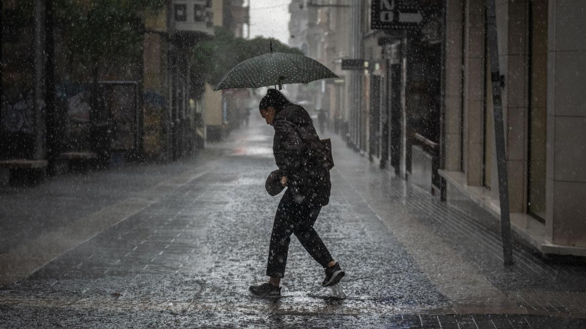
The Canary Islands have experienced a historic spring. Never before – at least not in the last 65 years – have islanders endured such persistent rainfall during the season. The culprits behind this upheaval have names: Regina and Thérese. These two high-impact low-pressure systems, together with the incessant cloud bands that blanketed the islands during March, April and May, have managed to put an end to the drought and turn the hillsides green once again, just ahead of a summer that is expected to be very hot and slightly humid.
Thérese: the storm that broke the records
However, the enormous volume of rain that fell across the islands – making the three-month period extremely wet – did not arrive steadily or consistently. The culprit behind the archipelago receiving almost three times more rainfall than normal this spring was the Thérese low-pressure system. Between 17 and 26 March, the passage of this high-impact system forced school closures and the activation of all necessary emergency resources to prevent negative effects on the population. Its trajectory was erratic and often difficult to predict. For example, the worst was expected over the weekend of 20 to 22 March. And indeed, intense rainfall did cause damage on some islands. However, the most severe conditions occurred on 23 and 24 March, the very day the Spanish State Meteorological Agency (Aemet) had forecast its dissipation. That night, the system developed convective behaviour due to two factors: the warm, humid air blowing from the southwest and the persistence of cold air at altitude. The combination completely transformed the situation, triggering one of the most intense rainfall events remembered in the archipelago.
Almost three times the normal rainfall
Over the whole spring, 180 litres per square metre accumulated across the Canary Islands: 116 litres per square metre in Las Palmas province and double that (256.8 litres per square metre) in Santa Cruz de Tenerife. In both cases, this amount represents almost three times the normal figure (347 per cent), but the distribution was not even. Unsurprisingly, the wettest of the three months was March, which recorded nearly four times the normal rainfall for the season.
The rainiest spots were Roque de Los Muchachos on La Palma, which accumulated 242.8 litres per square metre in a single day; La Matanza de Acentejo in northern Tenerife, which saw 131.8 litres per square metre; and La Vega de San Mateo on Gran Canaria, which accumulated 122.4 litres per square metre in 24 hours. Precipitation was particularly intense in La Matanza, which recorded 123 litres per square metre in just one hour during the night of 24 March.
A cooler than average spring
The season was also colder than usual, thanks to the effect of March on the overall figures. Throughout the spring, thermometers across the Canary Islands sat at 16.4°C, which is 0.3 degrees below normal. This thermal characteristic makes this spring the 26th coldest in the modern history of the Canary Islands. According to Aemet, cold anomalies were recorded across most of the western islands and Gran Canaria, with the exception of La Gomera. This contrasts sharply with conditions in the eastern islands, where temperatures were more typical for the season.
But not every month was equally cold. March was the coldest of all, with an anomaly of -1.2°C across the archipelago and an average temperature of 14.6°C. April, in fact, turned out to be a warm month, with an average temperature of 16.7°C and an anomaly of 0.2°C above normal. Although many of the month’s days had average temperatures below the reference average, the intense warm spell between 15 and 19 April – caused by an influx of calima (Saharan dust) – gave the month a warm character. In May, temperatures continued to rise to 18.1°C, making it a normal month with a thermal anomaly of 0.2°C.
Five episodes of calima
Although not as dominant, there were also five episodes of calima during the spring. Between 3 and 5 March, as Regina dissipated, a dust intrusion affected mainly the eastern islands, as the low-pressure system was still active in the west. Between 12 and 15 March, a change in the position of the Azores High – which extended towards the Iberian Peninsula – altered wind dynamics, bringing calima to the archipelago. In both cases, concentrations of suspended dust were minimal, just over 50 micrograms per cubic metre per day, barely exceeding the World Health Organisation (WHO) daily exposure threshold.
In April, two further calima episodes occurred. The first took place between 1 and 5 April, when a low-pressure centre settled south of the archipelago, creating an easterly flow. Between 10 and 20 April, two consecutive vortices caused winds to blow from the southeast. These two episodes recorded concentrations of more than 160 micrograms per cubic metre, making them some of the most intense of the year.
The final episode occurred between 20 and 26 May, due to the approach of an African ridge. Suspended dust concentrations this time, however, did not reach the WHO daily exposure threshold. Nonetheless, during this episode, thermometers rose several degrees above normal for the season, with maximum temperatures reaching 35.2°C at some stations, such as Tías on Lanzarote.
Drought eased, but summer outlook uncertain
With the months that have passed since the start of the hydrological year in October, Aemet also highlights that this is the seventh wettest hydrological year in the series since 1961. The low-pressure systems that the Canary Islands have been receiving since November have improved the hydrological drought situation, to the point that the accumulated rainfall is now 55 per cent higher than normal for this time of year. According to Aemet’s climate models, there is a 40 per cent chance that this rain will continue to make an appearance during the summer. The seasonal forecast suggests summer is equally likely to be hotter than normal as it is to be wetter than usual. For now, June has started with temperatures above normal values for the beginning of the month and very scarce precipitation which, in any case, “are within the normal values for the season”, as Aemet insists.
What’s happening in the Canaries – straight to your phone
News, weather alerts and practical updates – direct from the islands, in English. We live here and know what’s going on – before the international media catch up. Everything lands on our WhatsApp channel – no middlemen, no algorithm. Curated for families, expats and travelers.

Tuesday: heavy showers and storms in El Hierro

El Hierro issued yellow warning for heavy rain

Monday: autumn showers and a cooler feel

Sunday: scattered clouds and showers on the islands

Saturday: cooler air and clearing Saharan dust

Canary Islands weather: rain and storms on the way

Friday: summer heat before an autumnal weekend

Tuesday: cloud, showers and a building swell

Monday: cloud cover and scattered showers
