
Compiled with the help of artificial intelligence, based on Spanish-language information. Source below the article.
Spain braces for an unseasonably hot week as autumn begins
The week is starting with temperatures higher than normal across the whole of Spain, with daytime values expected to reach between 5C and 10C above the usual figures for this time of year, and even more than 10C in parts of the northern half of the country. That is according to the forecast from the spokesperson for the State Meteorological Agency (AEMET), Rubén del Campo. Astronomical autumn begins this week, specifically on 23 September at 02:25 mainland official time, but “the weather will be full summer”, he stressed.
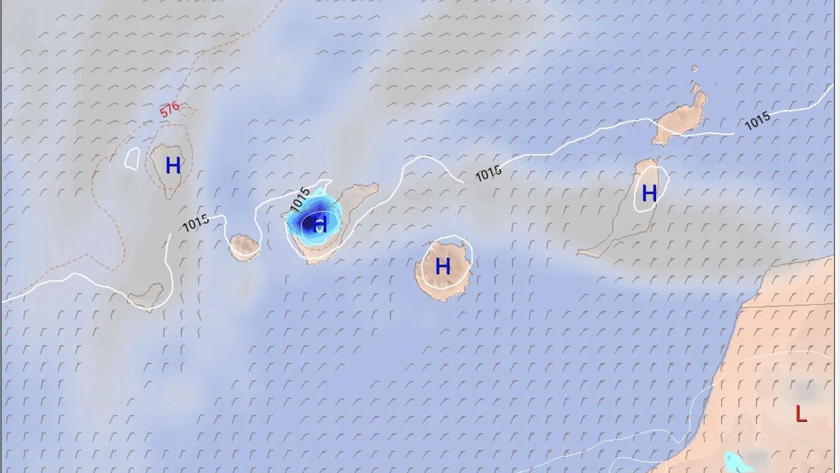
Canary Islands to exceed 35C once again
In the specific case of the Canary Islands, the AEMET forecast indicates that there will once again be a significant rise in temperatures, with values exceeding 35C. This increase in heat will also be felt in the valleys of the western mainland, not only in Andalusia and Extremadura but also in Galicia, as well as in the north-east of the country. High pressure will also keep skies largely clear or only slightly cloudy, and rainfall will be very scarce throughout practically the entire week.
Monday brings a sharp rise in temperatures
This Monday there will be a rise in temperatures in the north and east of the mainland, as well as in the Balearic Islands and, especially, in the Canary Islands, where according to Del Campo the thermal increase will be pronounced. In this way, 35C will be exceeded in parts of the north-east, the interior of Galicia, the Tagus Valley, much of Extremadura and the Guadalquivir Valley. In addition, the south of Gran Canaria and Fuerteventura will also come close to that figure. All of this will take place on a day when skies will be only slightly cloudy except in the Strait of Gibraltar. In that area, a strong easterly Levante wind will also blow, as it will in Melilla, and both areas will see some light drizzle.
Little change on Tuesday and Wednesday
There will be no major changes in temperatures on Tuesday and Wednesday, according to the forecast. If anything, there will be a slight drop on Tuesday in the north and a rise in the south, and a fall on Wednesday in the Mediterranean area. During both days, the thermal increase will continue in the Canary Islands. Broadly speaking, 32C to 34C will be reached in the north-east of the Iberian Peninsula, the northern plateau and the central area, and 34C to 36C in southern Galicia, Extremadura, western Castilla-La Mancha and much of the interior of Andalusia. In these areas, 36C will be exceeded in the Tagus, Guadiana and Guadalquivir valleys.
According to the AEMET spokesperson, daytime values will be between 5C and 10C above normal, and even more than 10C in southern Galicia and north-west Castilla y León. In the Canary Islands, temperatures will exceed 34C to 36C in the south of the islands. Once again, the weather will be very stable and the probability of rainfall very low across the whole country. A strong easterly Levante wind will also blow in the Strait of Gibraltar.
Intense heat continues into Thursday and Friday
Temperatures are likely to see little change on Thursday and Friday, except in the Cantabrian region, where there will be a notable rise on the first day and a drop the following day. In addition, temperatures will rise in the Mediterranean area on Friday. Once again, these will be two days of intense heat, with values between 5C and 10C above normal and more than 10C in parts of the northern half of the country. As a result, 34C will be exceeded in the interior of Galicia and the Cantabrian region, as well as in the Ebro Valley and much of the south-west of the mainland. In fact, 36C will be surpassed in the Tagus, Guadiana and Guadalquivir valleys.
On Thursday and Friday, there will be tropical nights along the Mediterranean coast and in parts of the southern half of the country, meaning temperatures will not drop below 20C there. As far as the Canary Islands are concerned, thermometers will climb above 32C to 34C across most of the archipelago and above 34C in the south of the islands.
Slightly cooler but still hot by the weekend
Looking ahead to the weekend, Del Campo has indicated that a front is likely to approach the north-west of the mainland towards the end of the period. Temperatures will generally be somewhat lower, but still high for the time of year.
What’s happening in the Canaries – straight to your phone
News, weather alerts and practical updates – direct from the islands, in English. We live here and know what’s going on – before the international media catch up. Everything lands on our WhatsApp channel – no middlemen, no algorithm. Curated for families, expats and travelers.

Canary Islands weather: Calima and heat to linger into October

Sunday: calima and late storms on the Islands

Super El Niño 2026: The climate threat we can’t ignore

Saturday: calima and a cooler turn across the Islands

Canary Islands swelter through tropical nights above 30C

Friday: storms, calima and a hot finish to the week

Canary Islands on alert for heat, calima and storms

Thursday: heat peaks and calima across the Islands

Gran Canaria on fire alert as temperatures soar to 36C
