

If you are looking for places to visit in Malta, walking routes with great views, or viewpoints with wide-open landscapes, every tourist guide will offer you plenty of options.
Despite its small size, Malta offers spectacular viewpoints almost everywhere you turn, like no other European country. The Dingli Cliffs, Blue Grotto and Valletta with its Upper Barrakka Gardens are mentioned in every guidebook and travel blog, and tourists treat them as essential stops. Our list is mostly made up of lesser-known places, routes and areas that are just as impressive and often quieter, which makes them more charming.
The Red Tower to Radar Station route (western ridge of Malta)
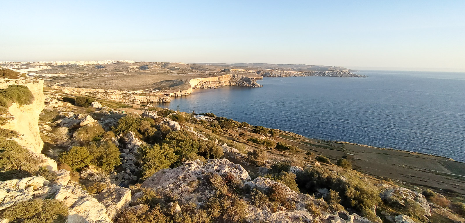
The route in the heading is one of several options that lets you take in Mellieha Bay, the south-west coast of Comino, Gozo and, above all, the north-west cliffs of Malta.
The route from The Red Tower (St Agatha’s Tower) to Radar Station along Triq Tad-Dahar (a paved rocky road) is ideal for visitors who prefer wide, clearly marked paths. You can get to The Red Tower by bus, getting off at the “Qammieh” stop and walking 600 metres towards the visible tower.
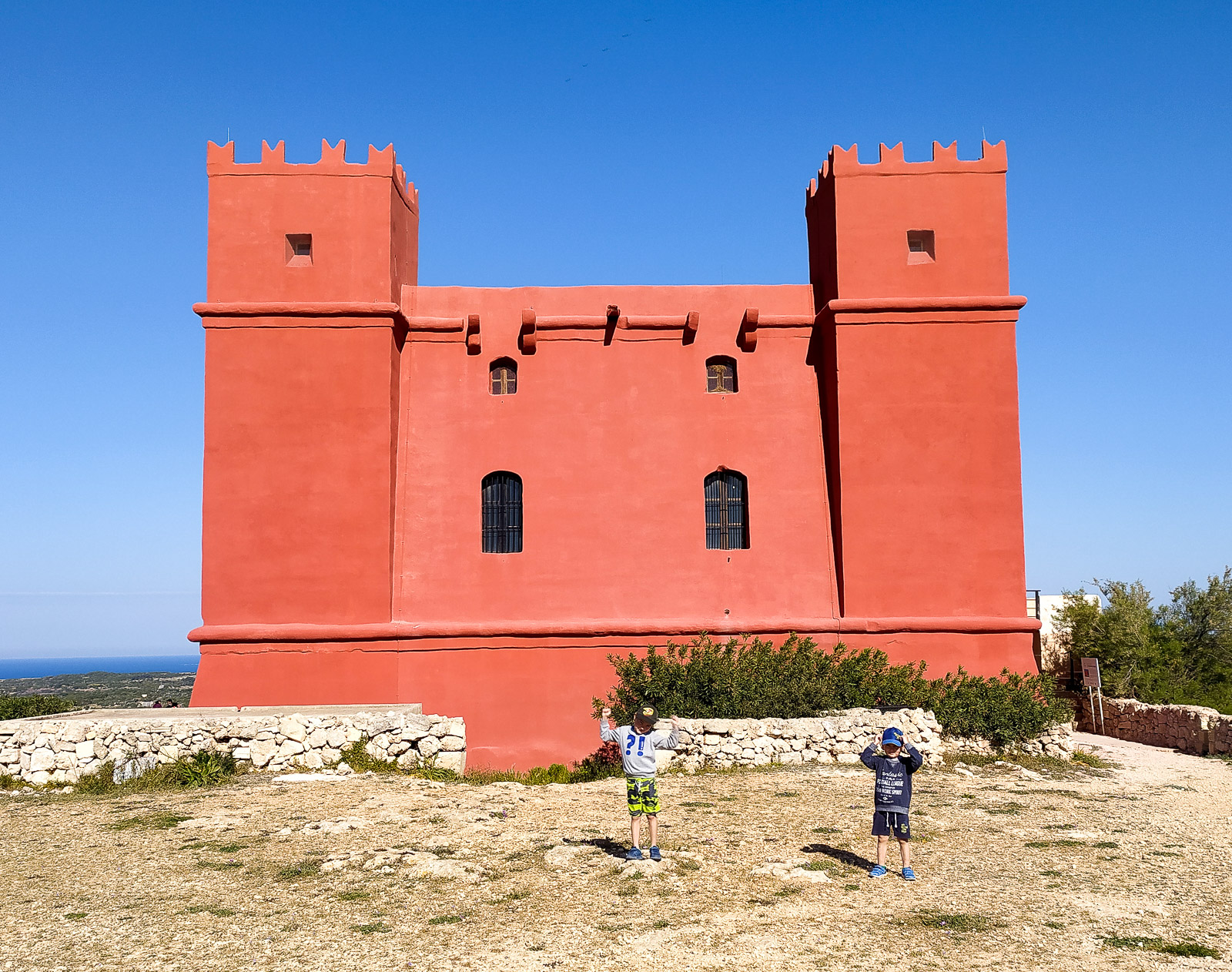
You cannot mistake the building for anything else. Once you are there, it is worth walking all the way around it. The walls of The Red Tower face different directions – Comino and Gozo on one side, and Mellieha Bay on the other.
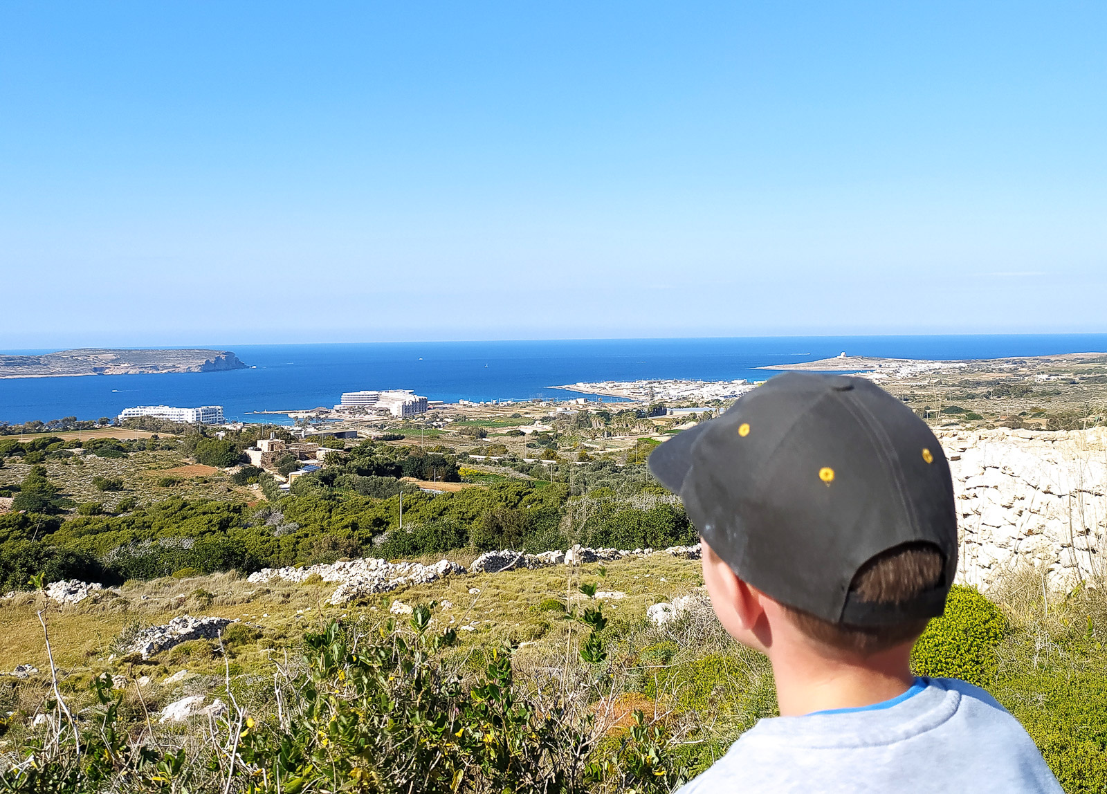
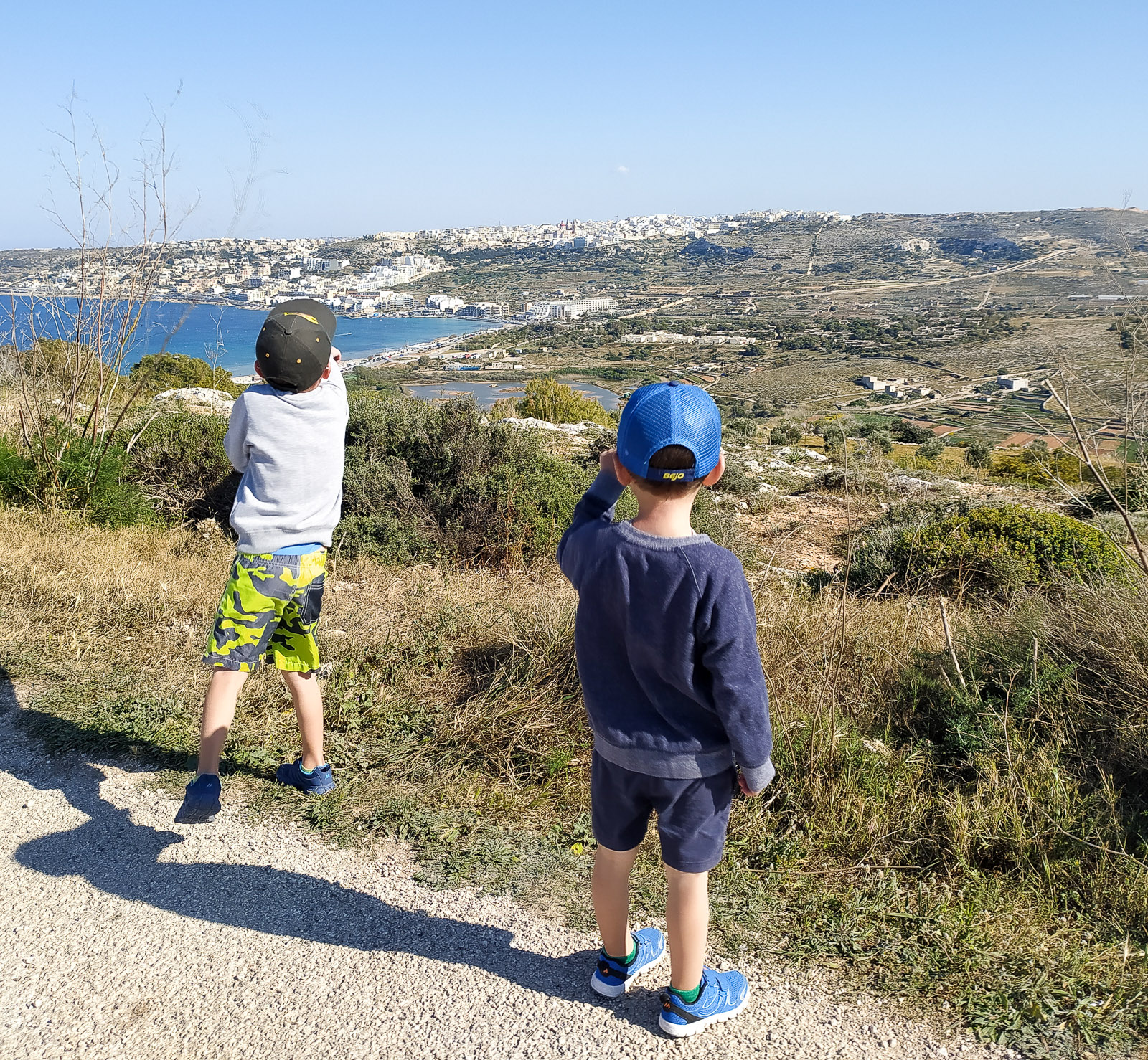
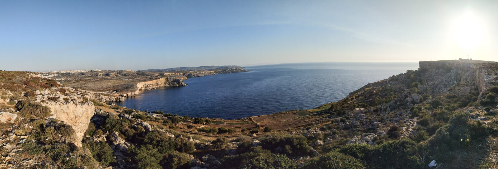
Walking (or driving) along the road towards Radar Station lets you admire, among other things, the cliff coastline on the west of Malta.
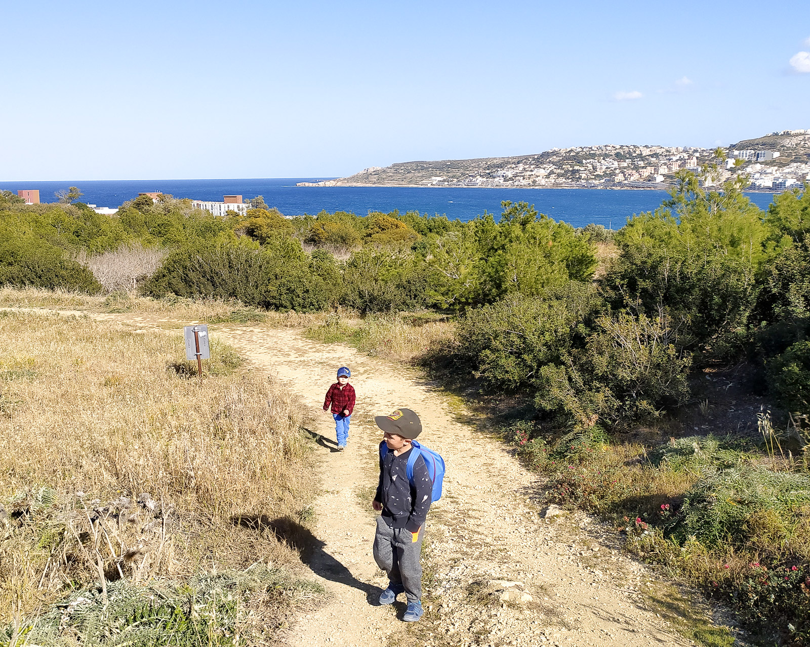
You can also walk to The Red Tower from Mellieha – along the paths of Foresta 2000 Nature Reserve. We recommend this reserve and its quiet trails. As you climb higher, the view over Mellieha Bay gets better and better.
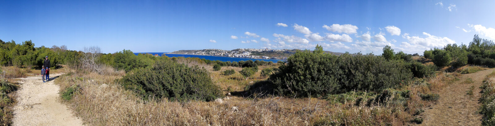
From The Red Tower to Radar Station you can take the rocky road mentioned above, or a parallel path running lower down, first through farmland and then along the cliff.
The area around Radar Station is ideal for watching the sunset, and from this part of Malta you can also see Comino, Gozo, the whole of Malta’s ridge and its western cliffs.
Around Anchor Bay (Popeye Village)
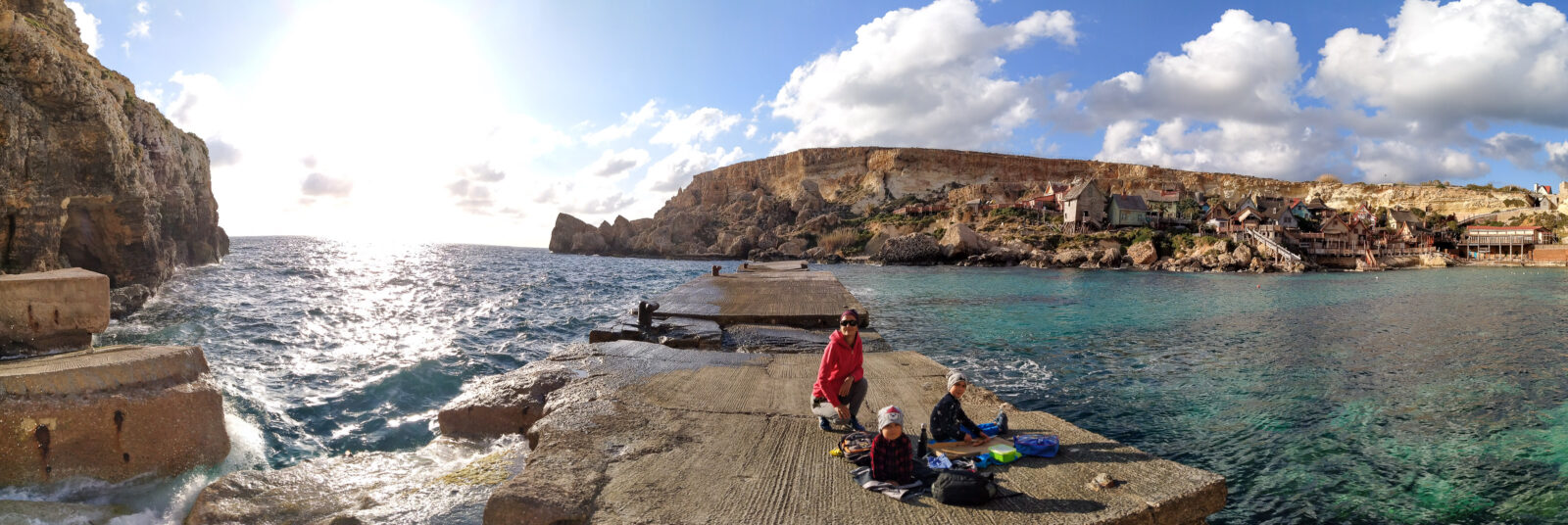
Whether you are a Popeye fan (the cartoon or film character who gets his strength from spinach) and would like to see the setting of the film starring Robin Williams, or you are visiting Malta with children for whom the Popeye Village set is an attractive playground, it is worth taking a few moments to see this picturesque spot from above (the viewpoint by the road or the nearby car park) or from below (the concrete jetty).
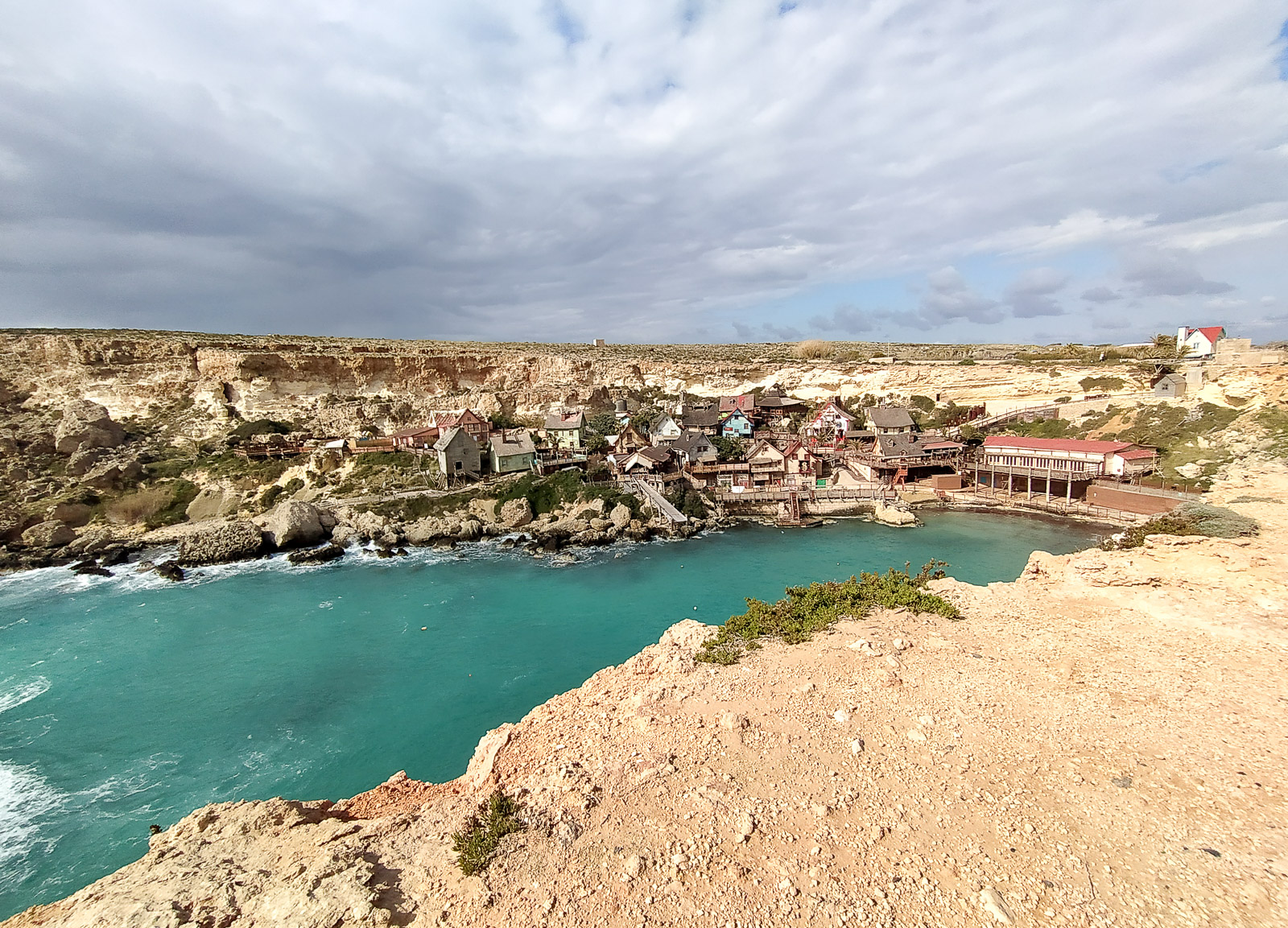
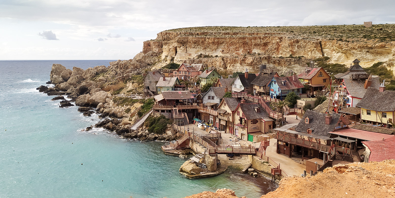
The area around Popeye Village is an ideal place to have a pizza with Maltese specialities served at the restaurant inside the film set village.
The route between Golden Bay and Ghajn Znuber Observation Tower
This is the most varied route we have had the chance to walk in Malta. It is marked on Google Maps along with the attractions you pass on the way (including Rock Cut Observation Post – a window in the cliff that you reach by going down a few steps).
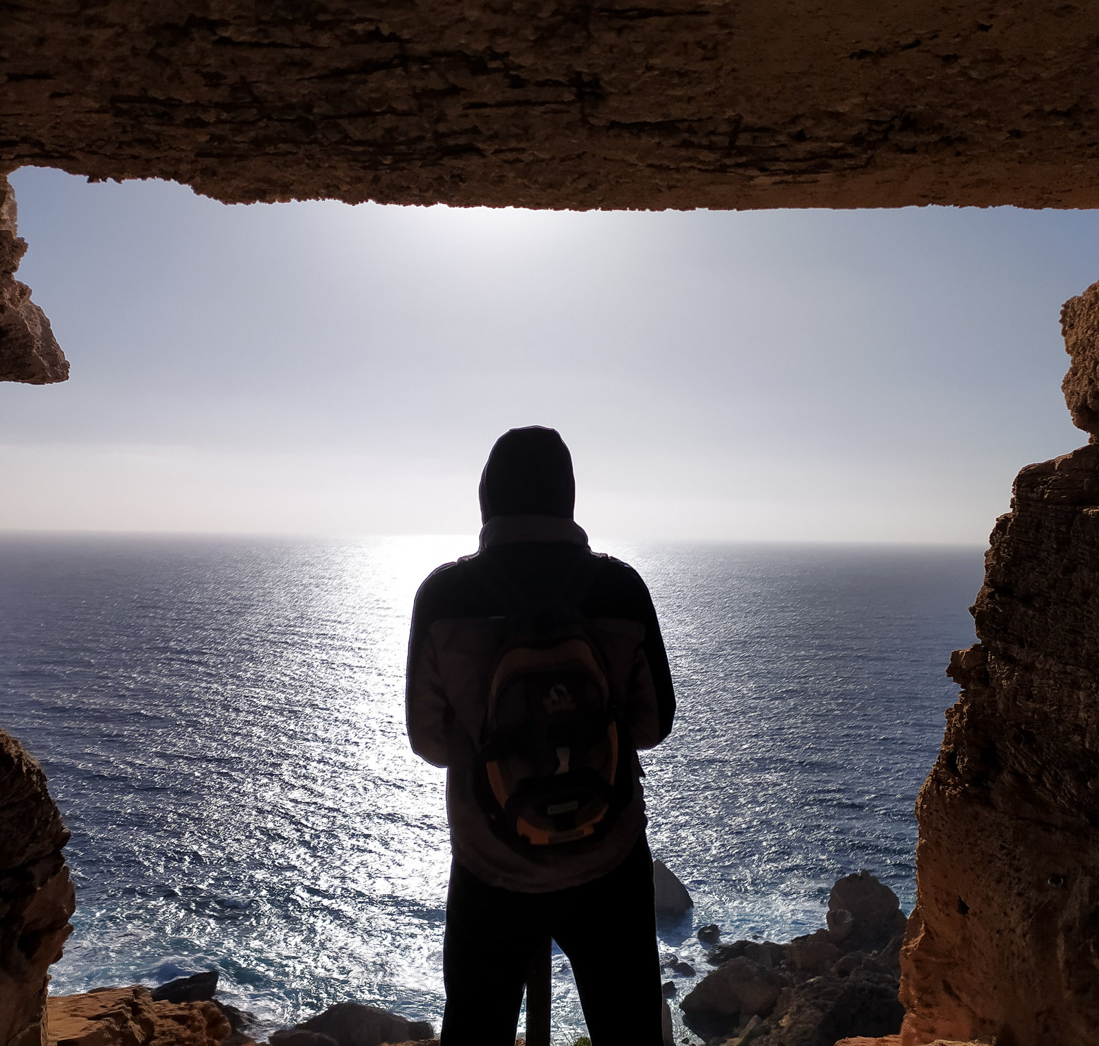
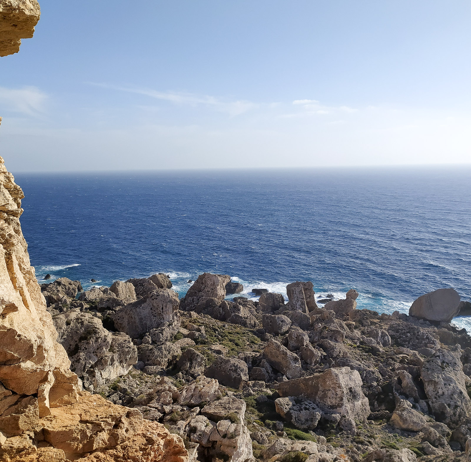
You can start the route, for example, by walking the paths of Il-Majjistral Nature & History Park (above the Radisson Blu Resort & Spa hotel near Golden Bay) and following the path towards Ghajn Znuber Observation Tower.
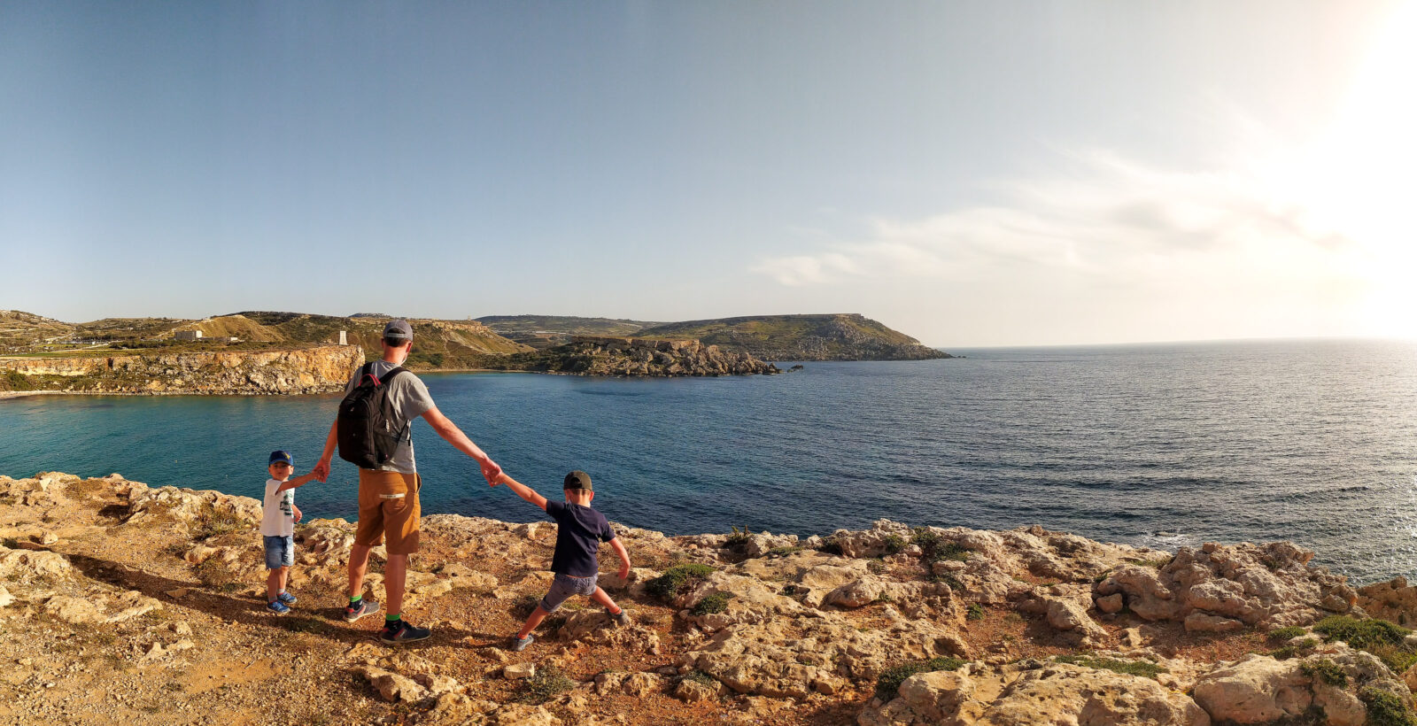
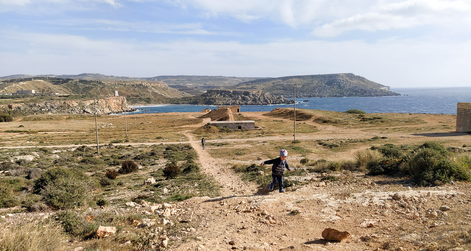
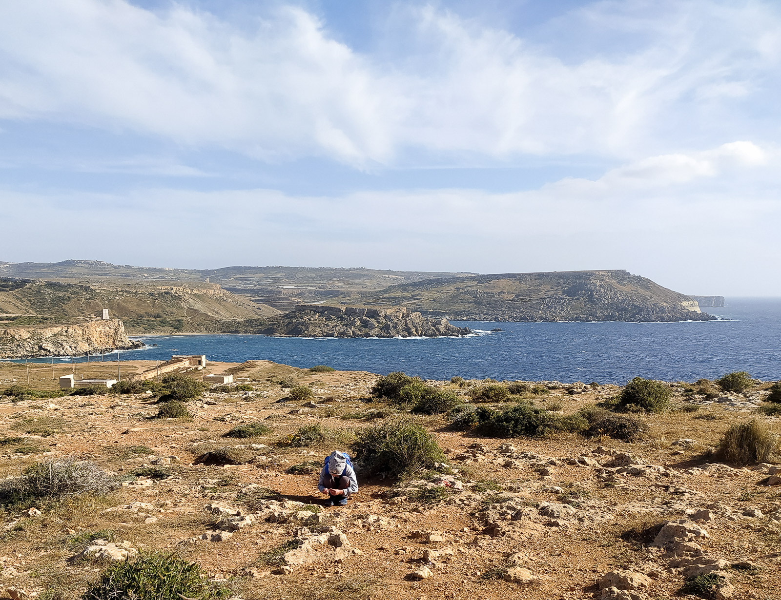
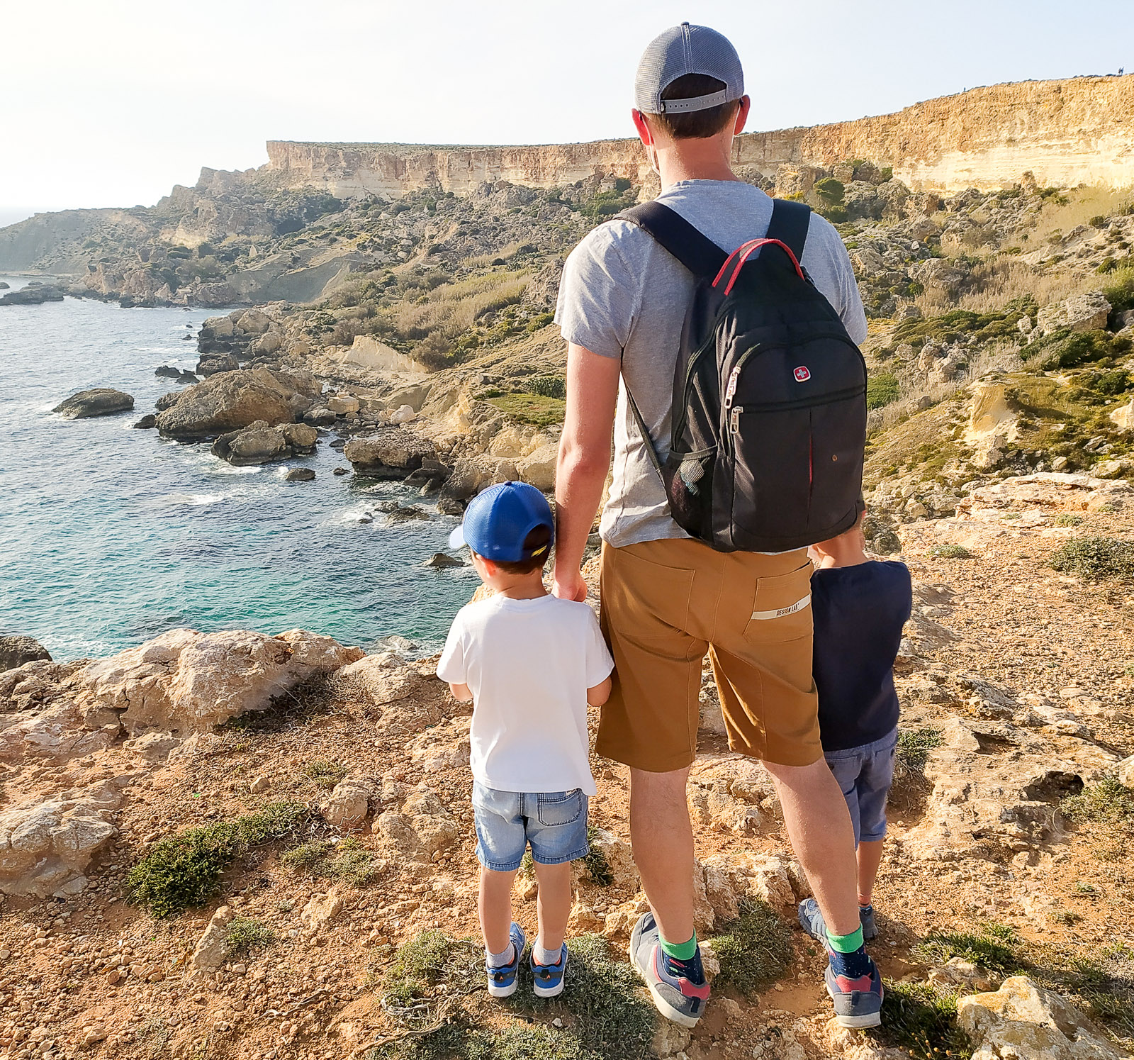
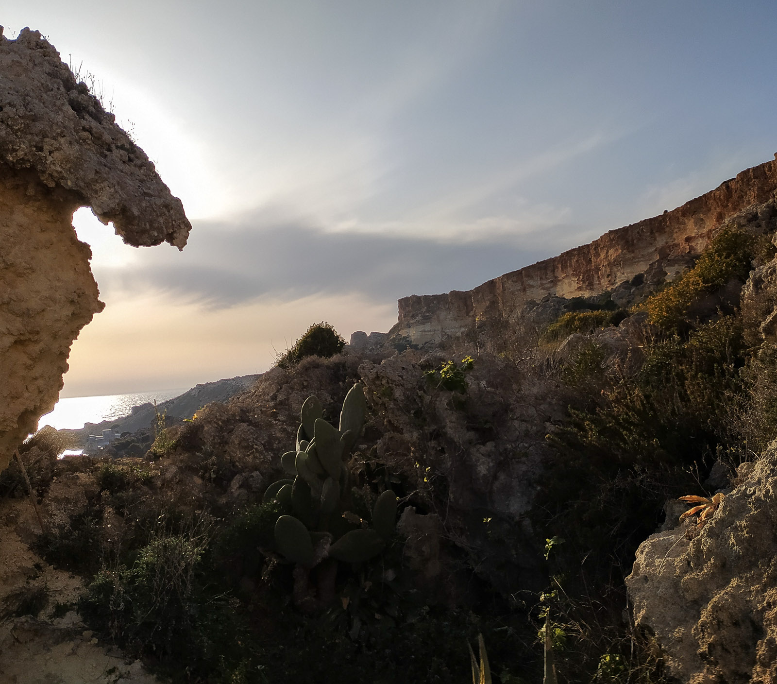
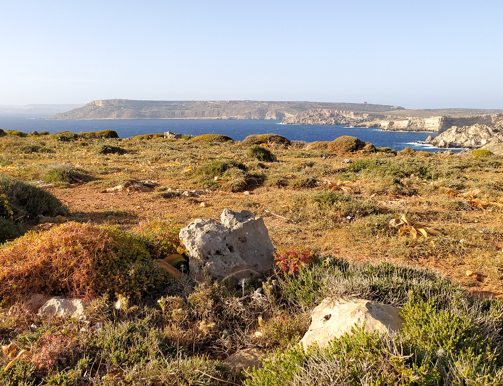
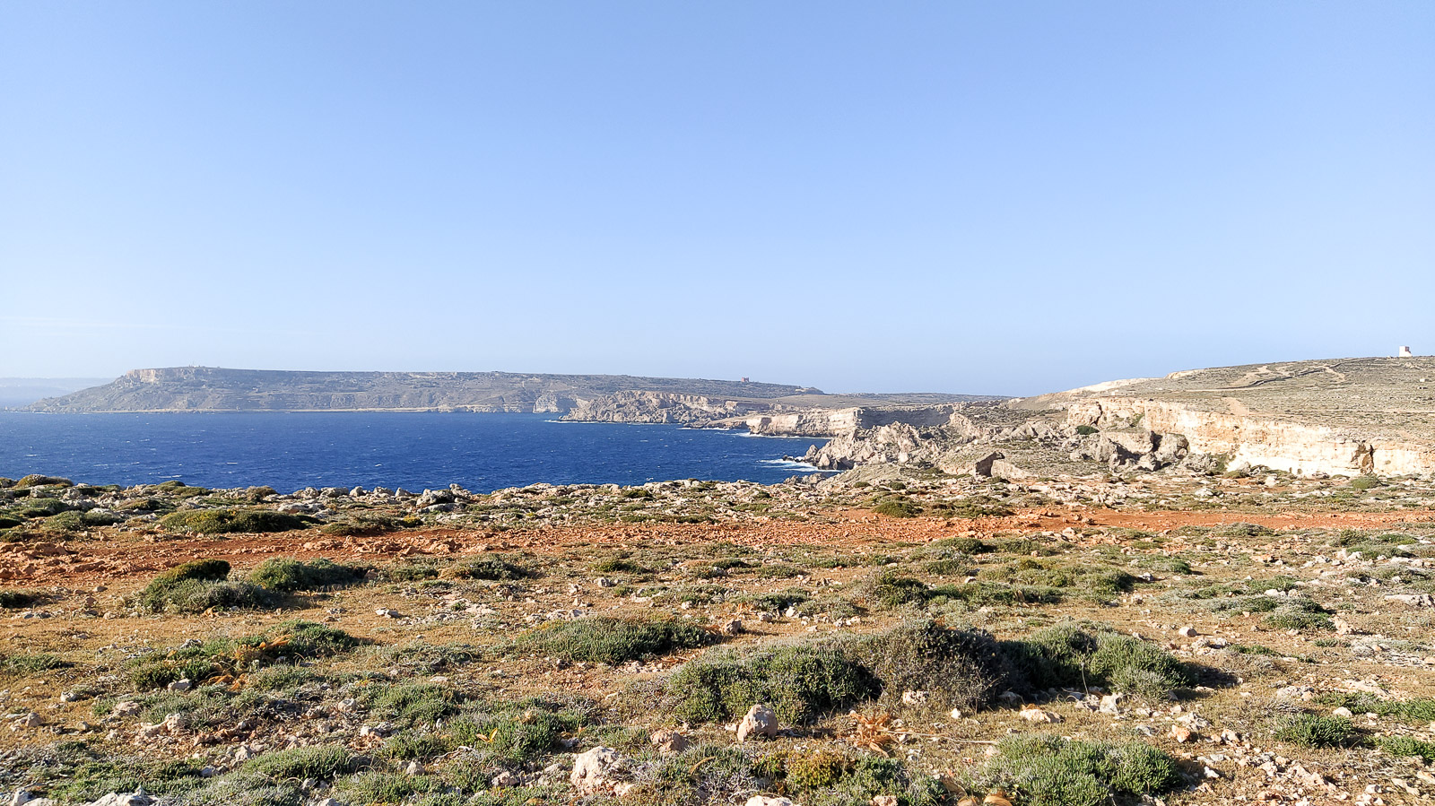
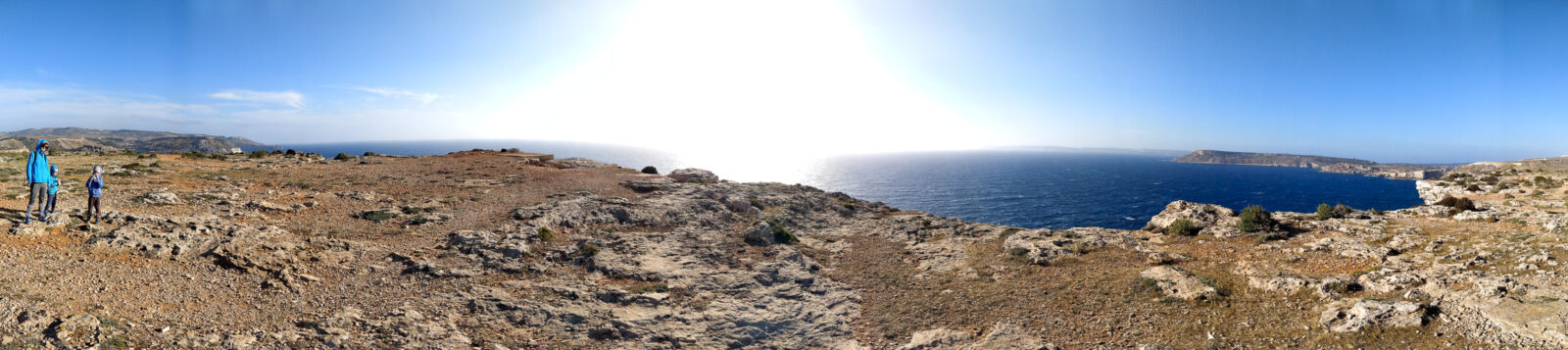
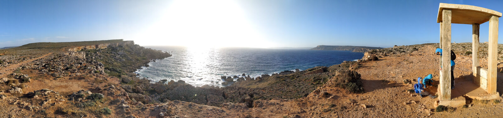
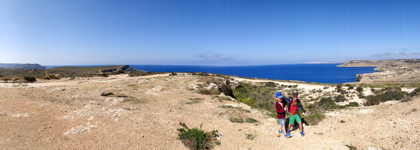
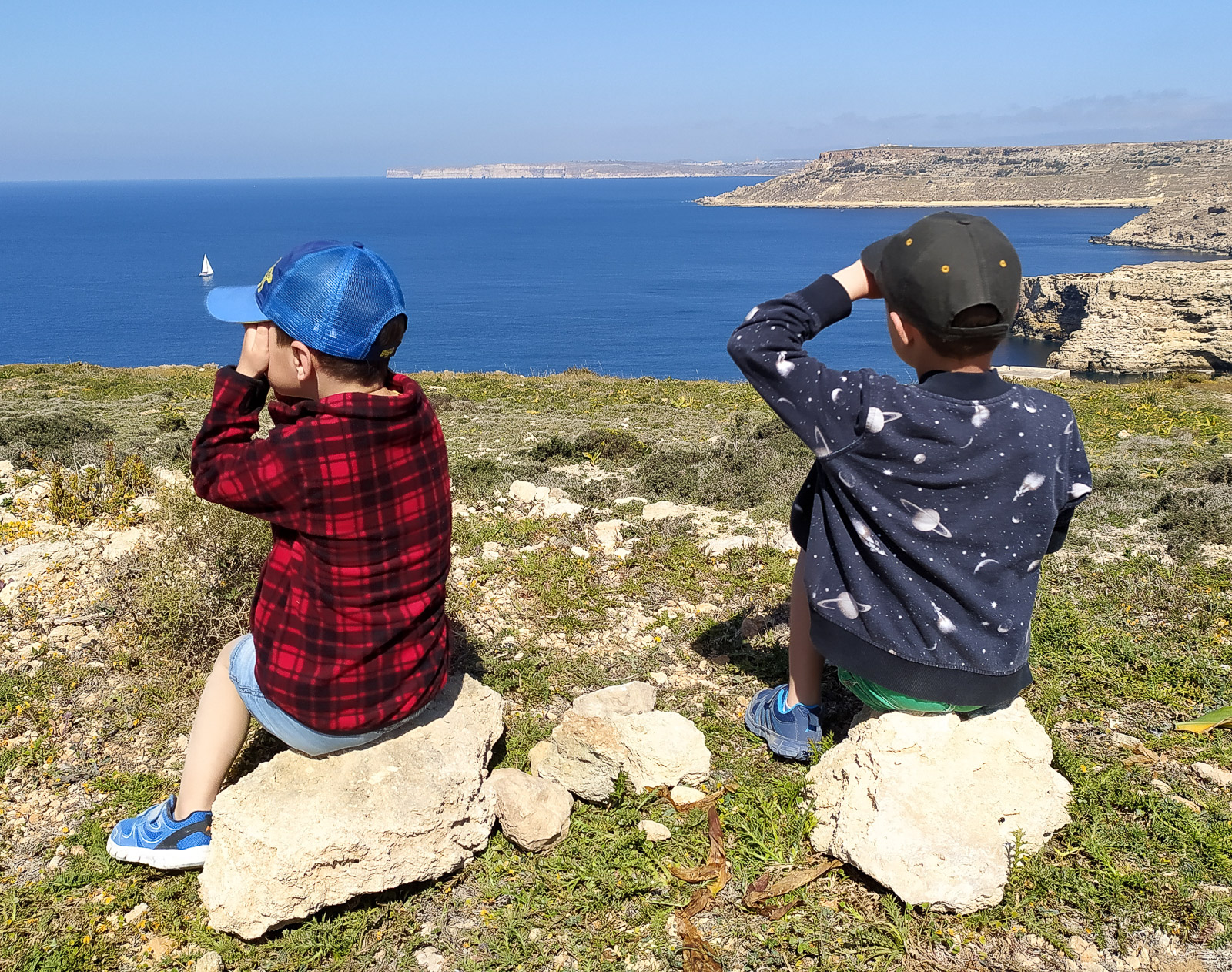
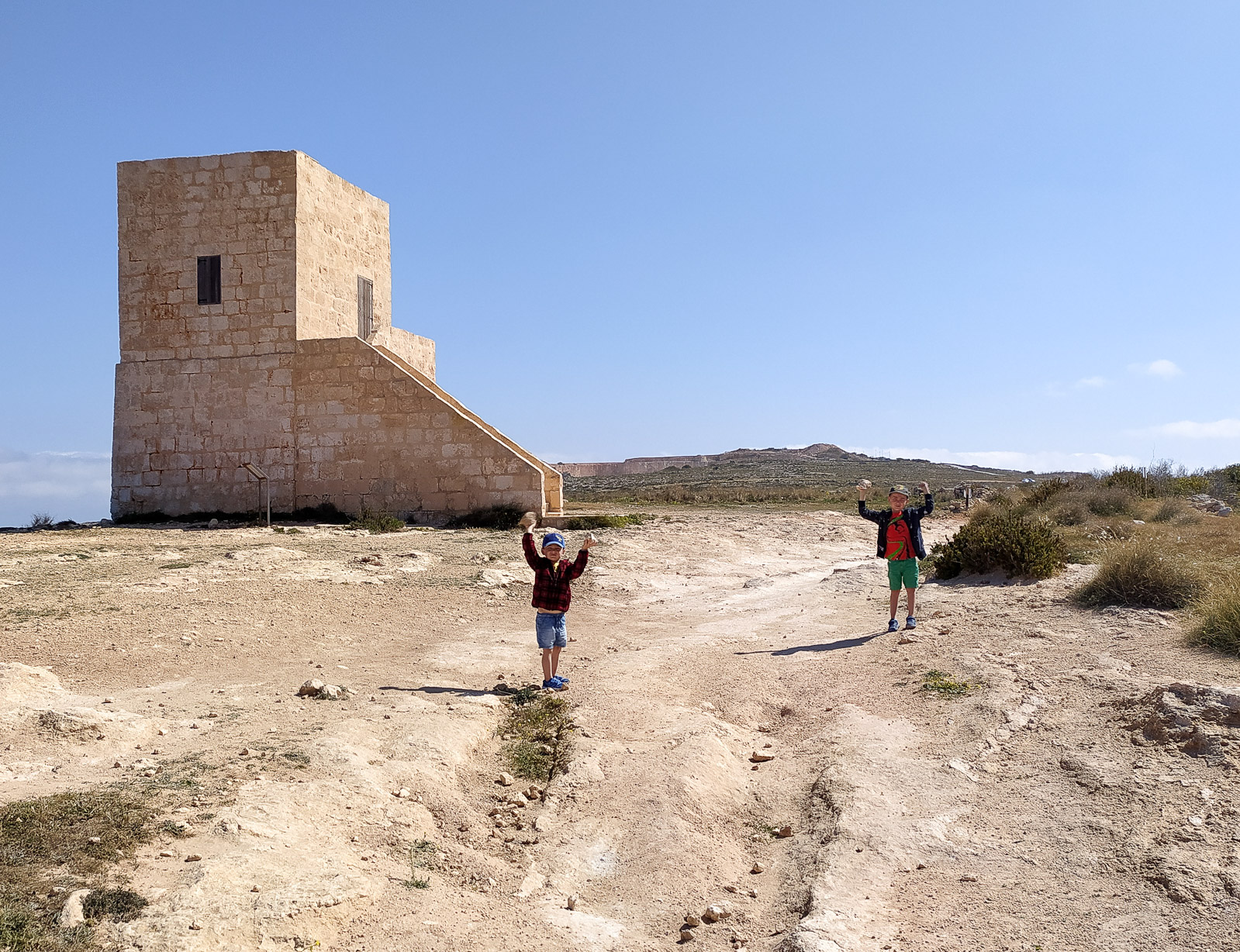
You can also take a detour to the left down the road (before climbing up to the cliff) to walk a little along the edge of the bay, with steep slopes above you. The route ends halfway, though, and you have to return to the path towards Ghajn Znuber Observation Tower.
It is worth making the extra effort – the views are amazing.
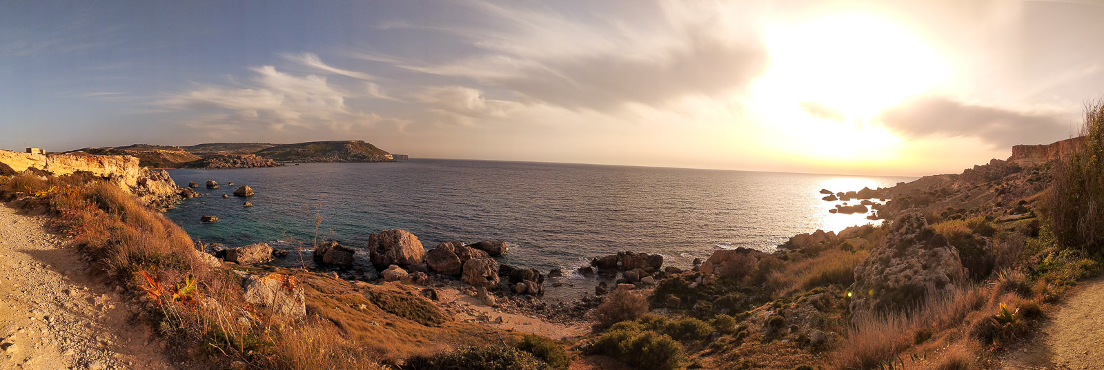
The route between Golden Bay and Ghajn Tuffieha Bay
This next route starts on… Golden Bay beach.
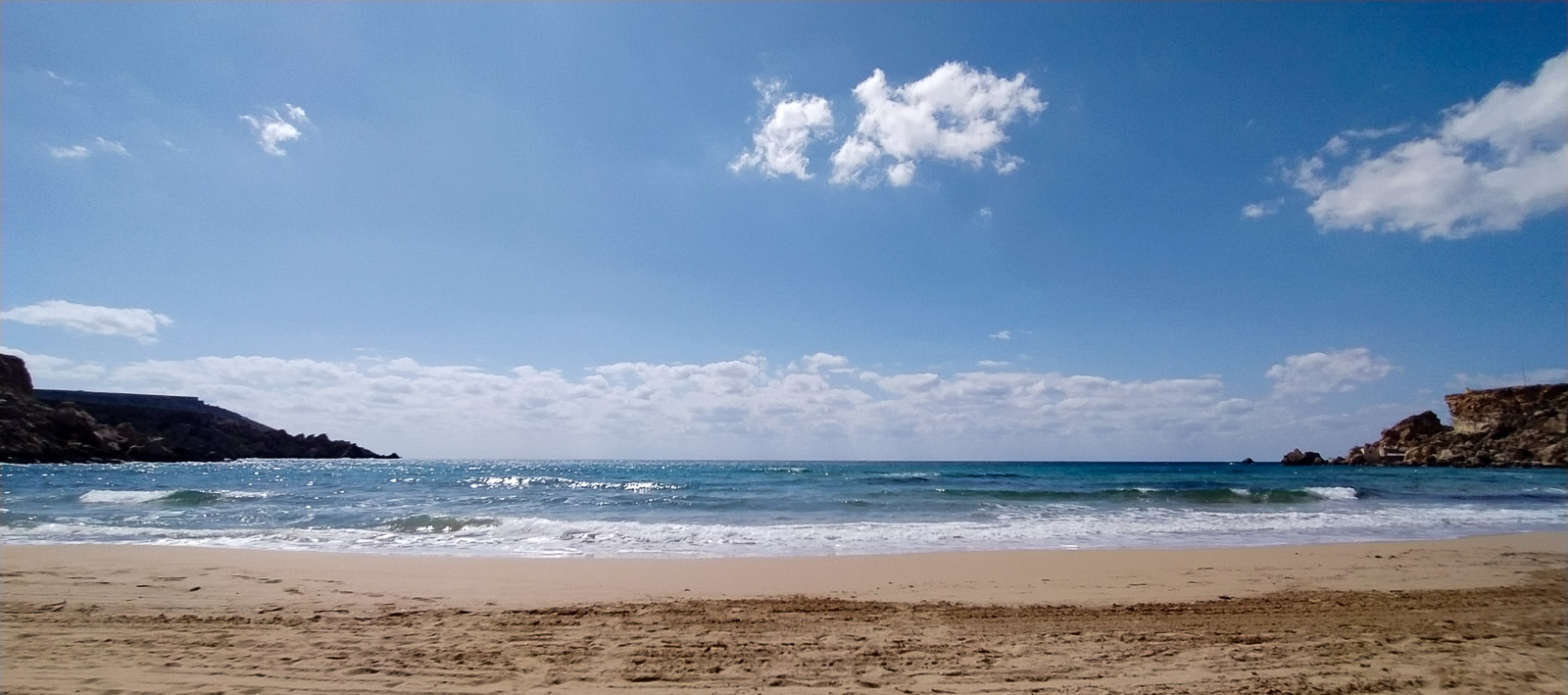
Paths on the south-west slopes take you quickly to the tower visible from the beach – Ghajn Tuffieha Tower. From there you get a view of Golden Bay on one side and Ghajn Tuffieha Bay on the other.
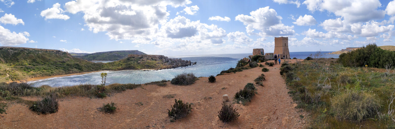
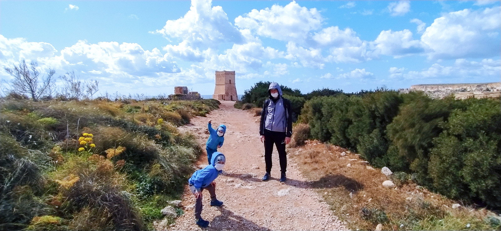
The route between Ghajn Tuffieha and Qarraba Bay
Ghajn Tuffieha itself offers a spectacular view – whether from the steps leading down to it or from the beach itself.
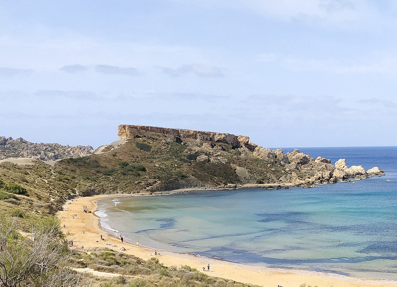
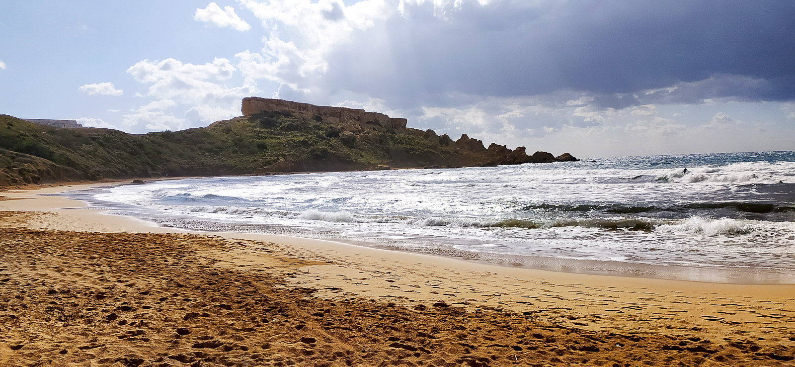
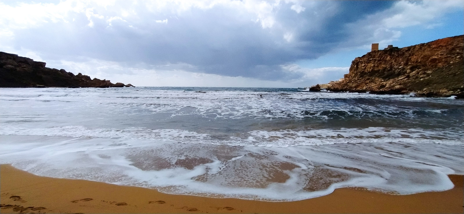
You can admire the whole bay from sea level, that is from the western edge that stretches far out into the sea, by walking along the beach…
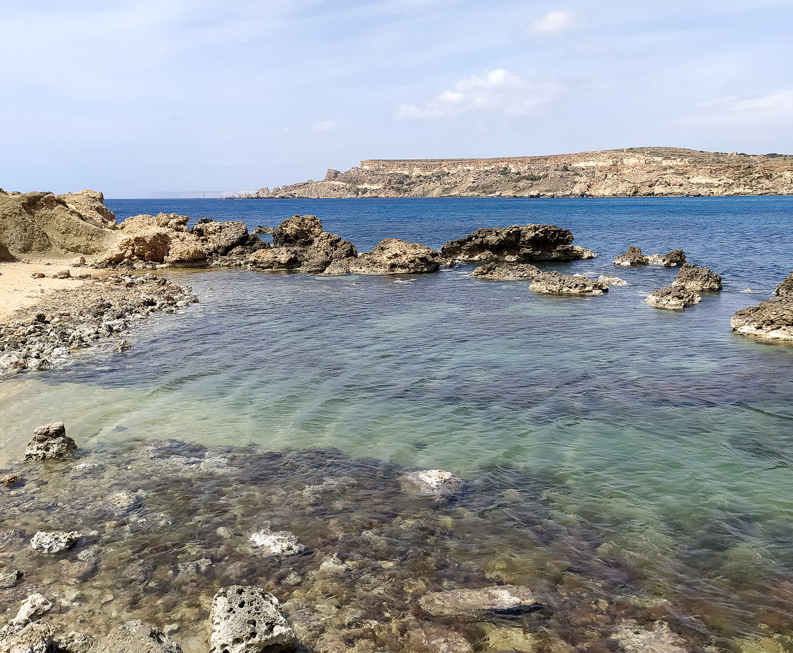
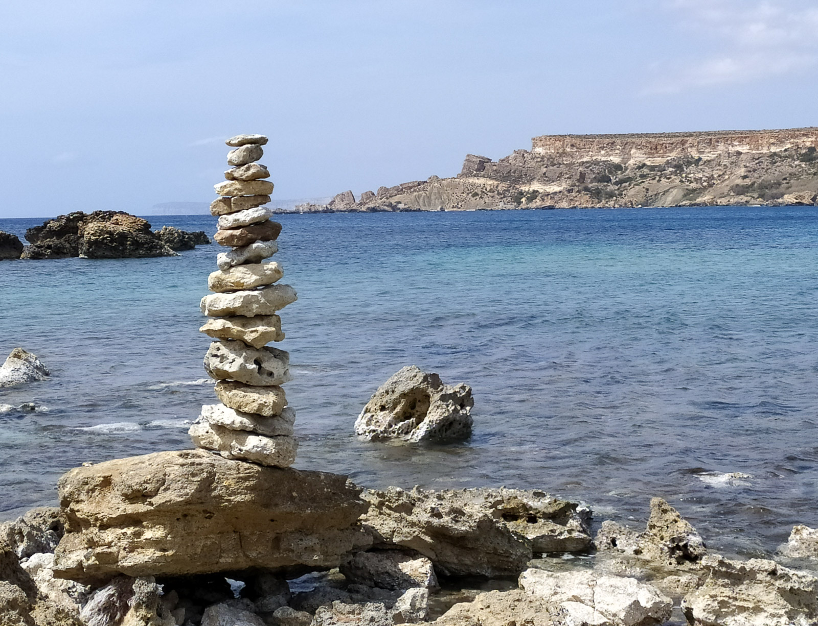
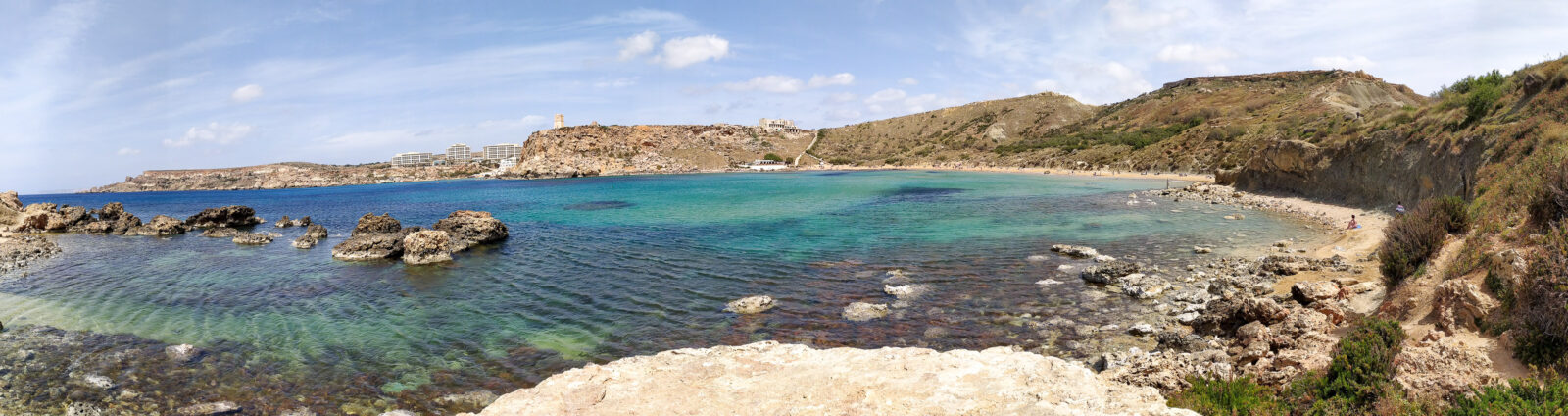
or along the paths above the beach, which start next to the steps down to the beach.
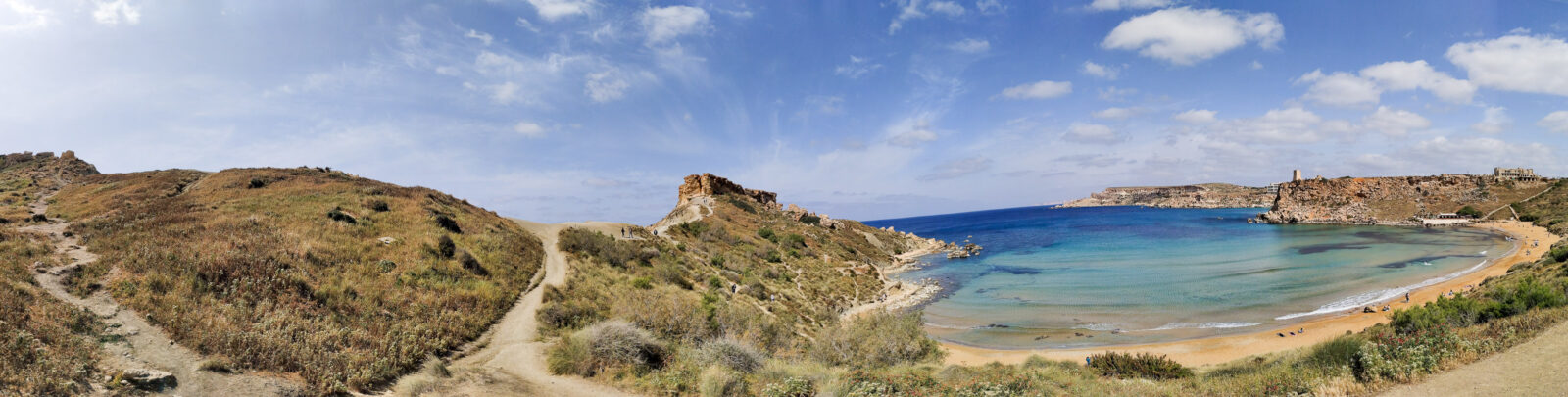
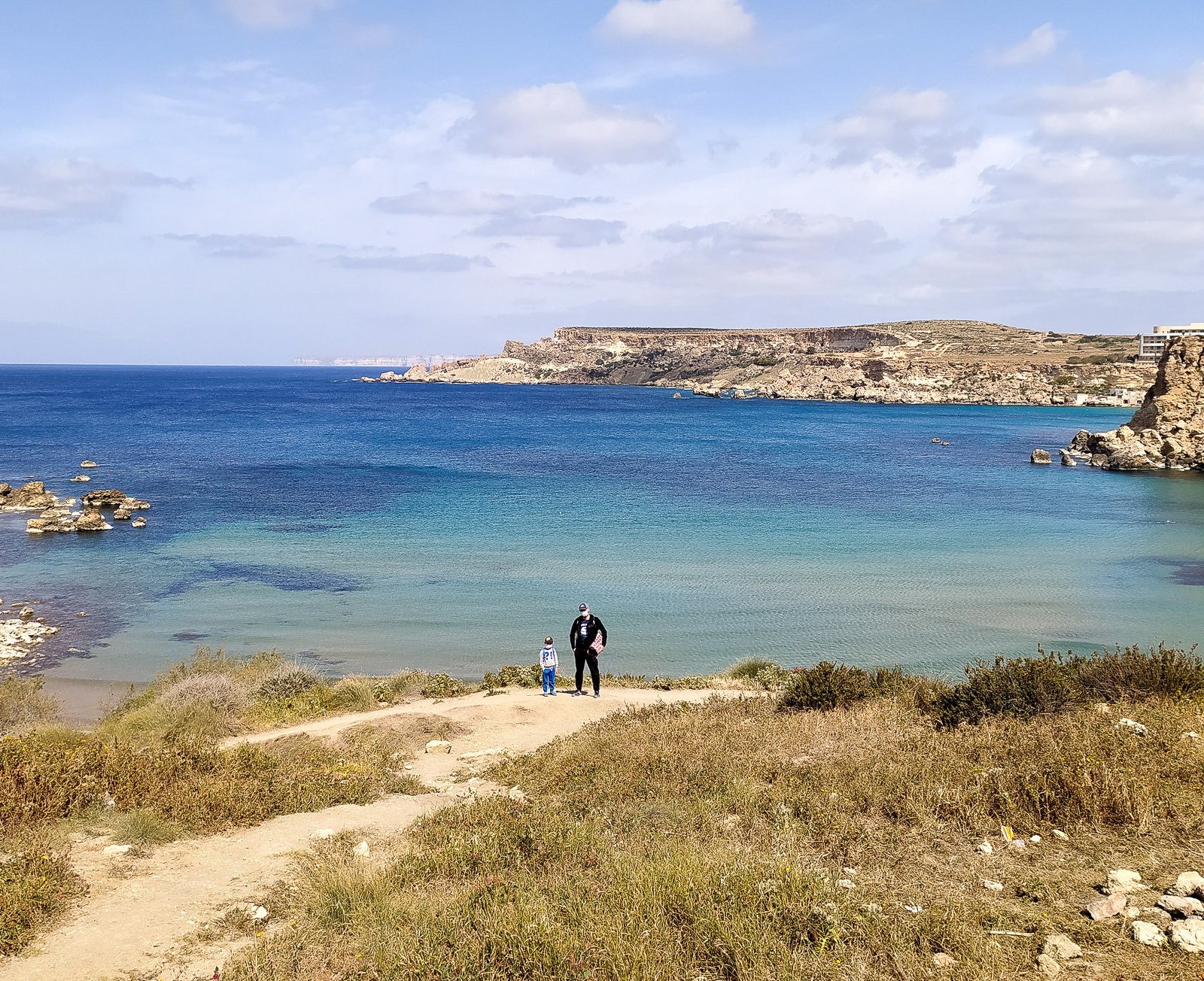
When you reach the viewpoint on the cliff, you have Ghajn Tuffieha on your right and the (hard-to-reach) Qarraba Bay on your left.
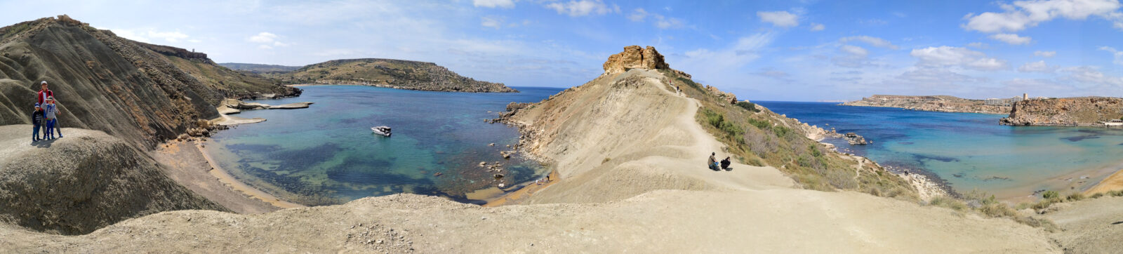
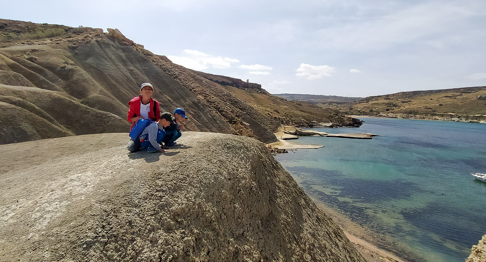
The route between Qarraba Bay and Gnejna Bay
The direction of the route given in the heading matters. Safety reasons favour this choice, although we have seen people sliding down the sandy cliffs above Qarraba Bay. The exotic, hard-to-reach beach is impressive, but is it worth the risk?
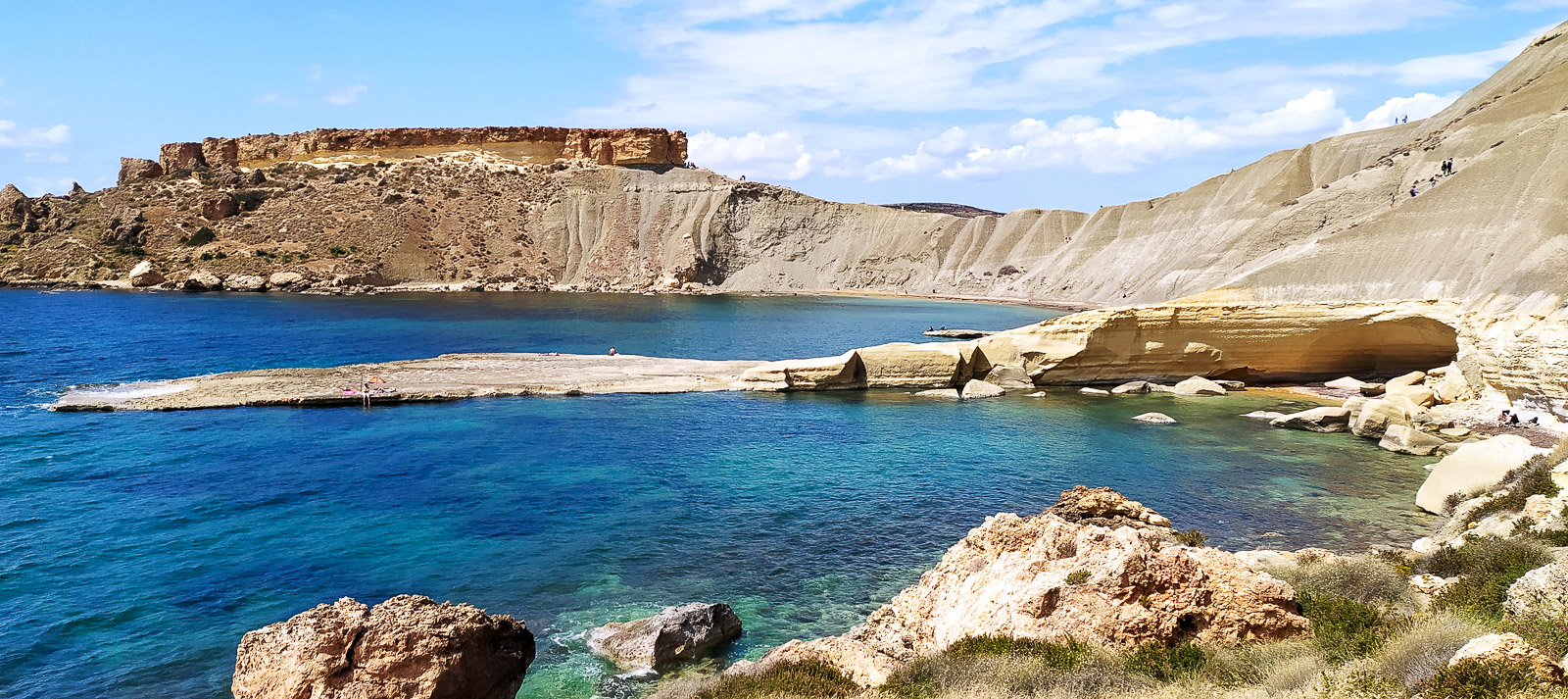
We started our walk at Gnejna Bay beach and followed its eastern edges only as far as the spot marked on the map as “The Fourteen Soldiers”.
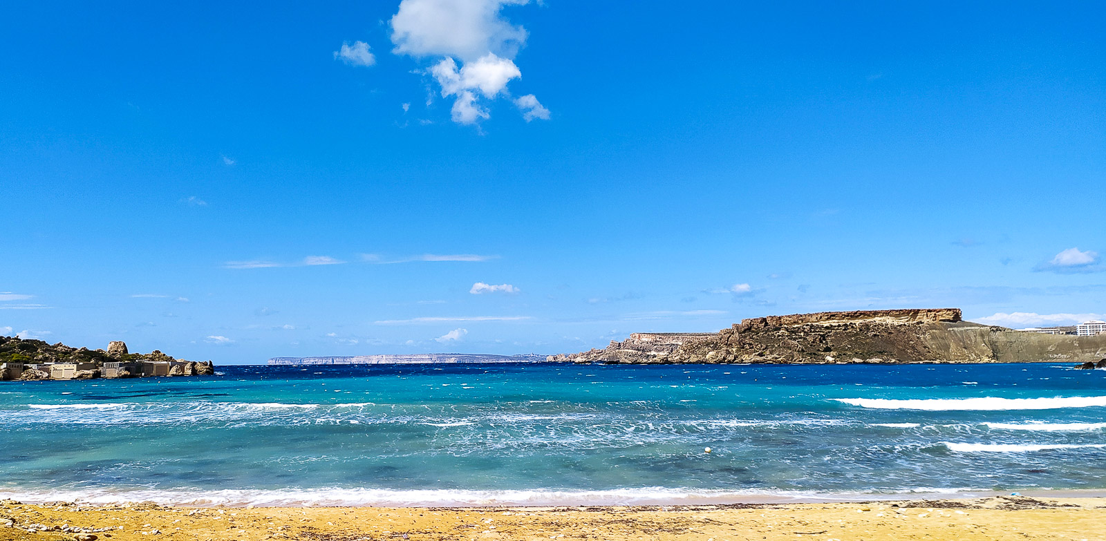
This is not a typical tourist trail, more a path worn by visitors looking for peace and quiet or by naturists (at first even steps cut into the rock – you pass a hidden house on the way).
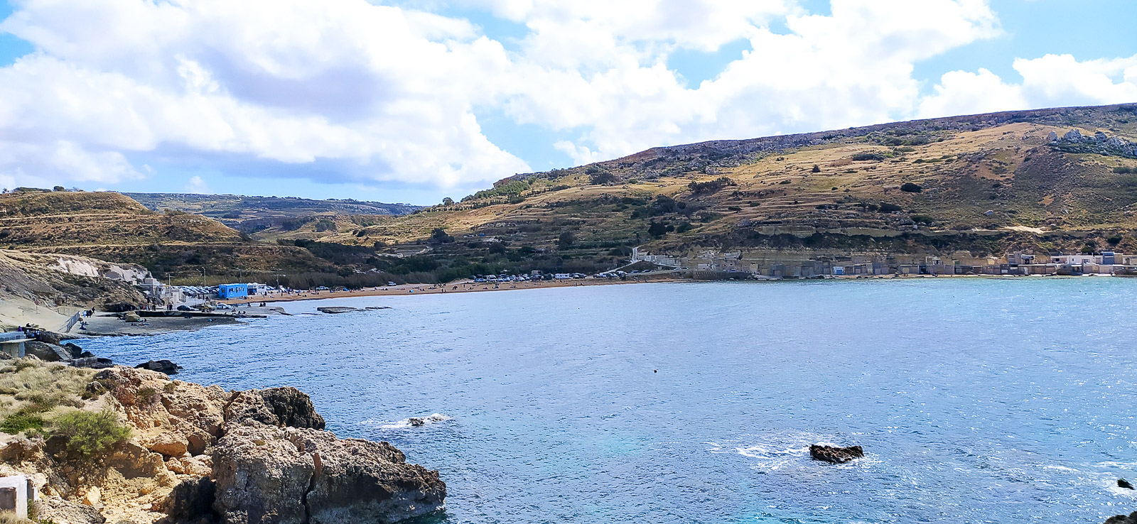
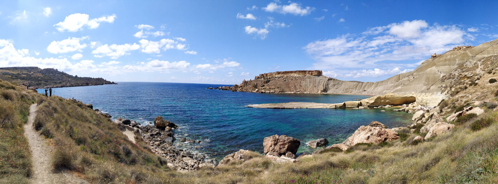
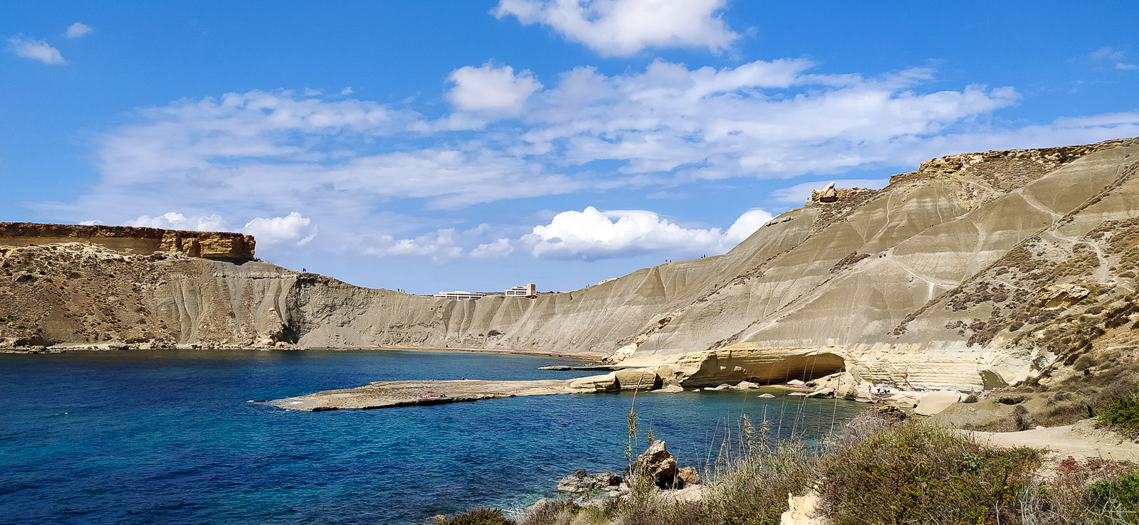
The route above Gnejna Bay towards Aaron’s Cove
From the western slopes above Gnejna beach you can walk all the way to the fairy-tale Fomm ir-Riħ Beach. The route that includes Pullicino’s Cove involves climbing and walking along narrow paths above the cliff. We stopped at Aaron’s Cove.

Il-Blata tal-Melh
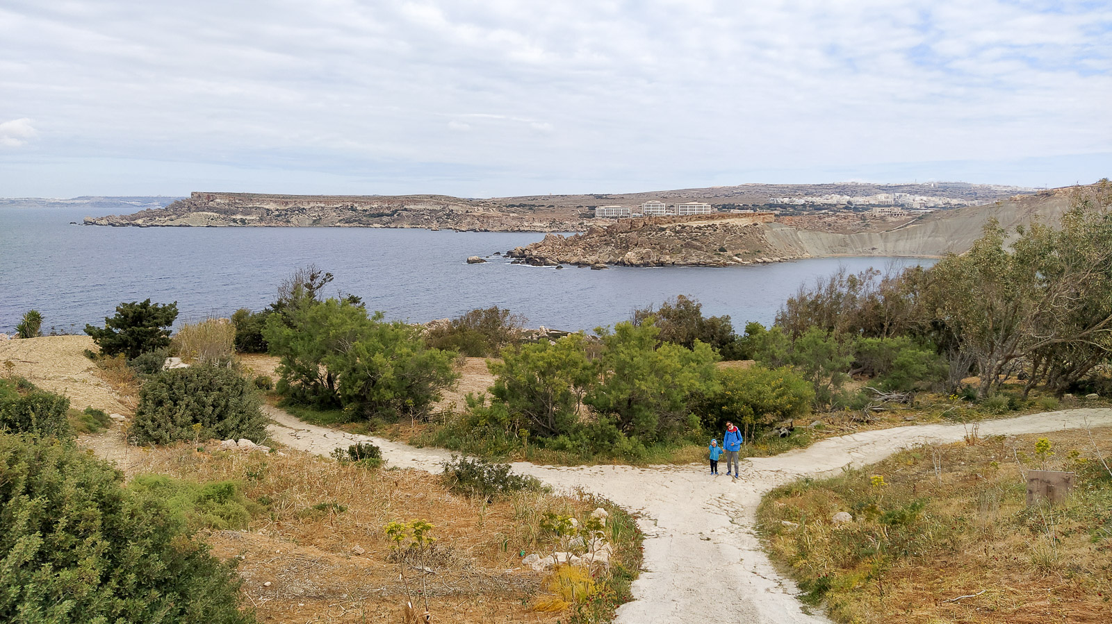
Encouraged by the comments on Google Maps (“beautiful”, “unspoilt place”, “otherworldly landscape”), we set off to Il-Blata tal-Melh from the car park marked on the map as Green Fingers Club Malta, across a more or less steep meadow with faint paths, reaching the cliff and then walking along it.
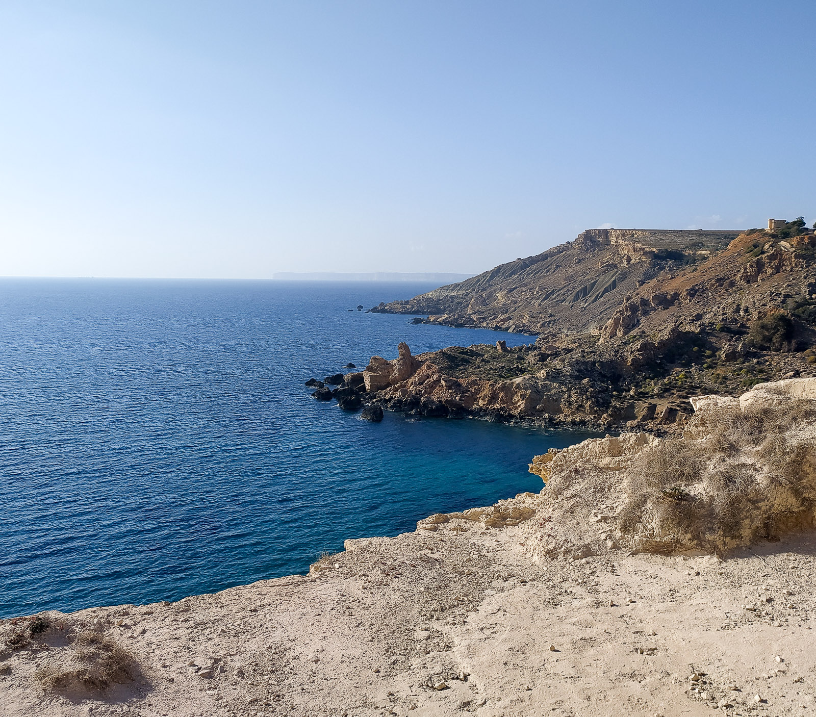
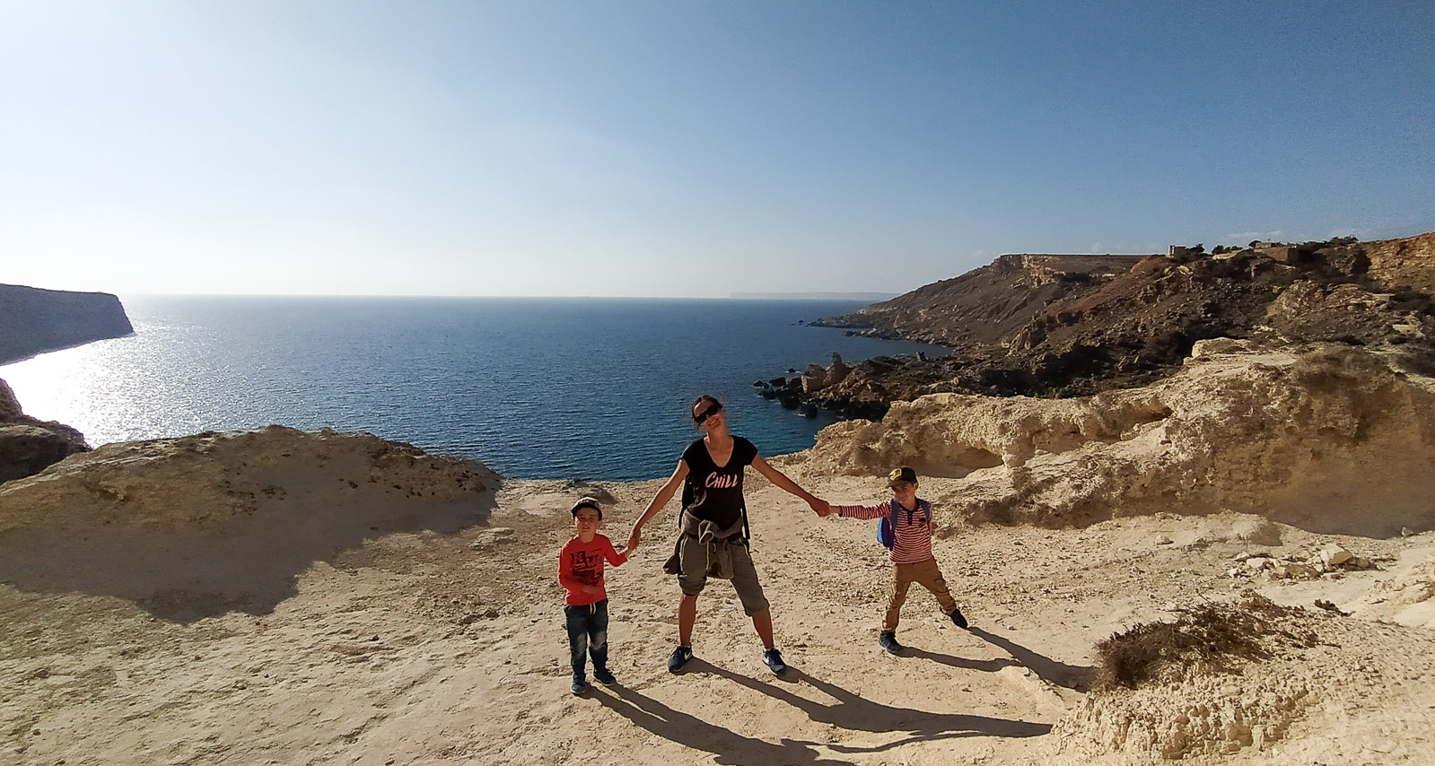
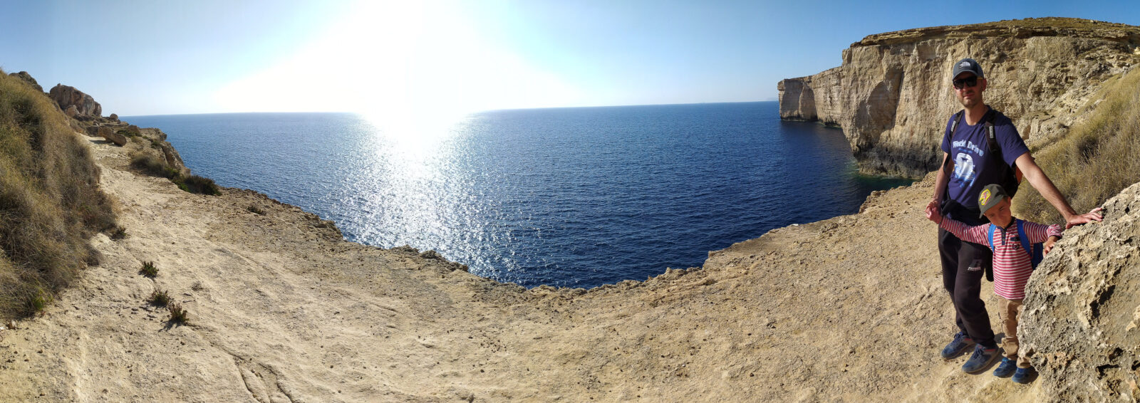
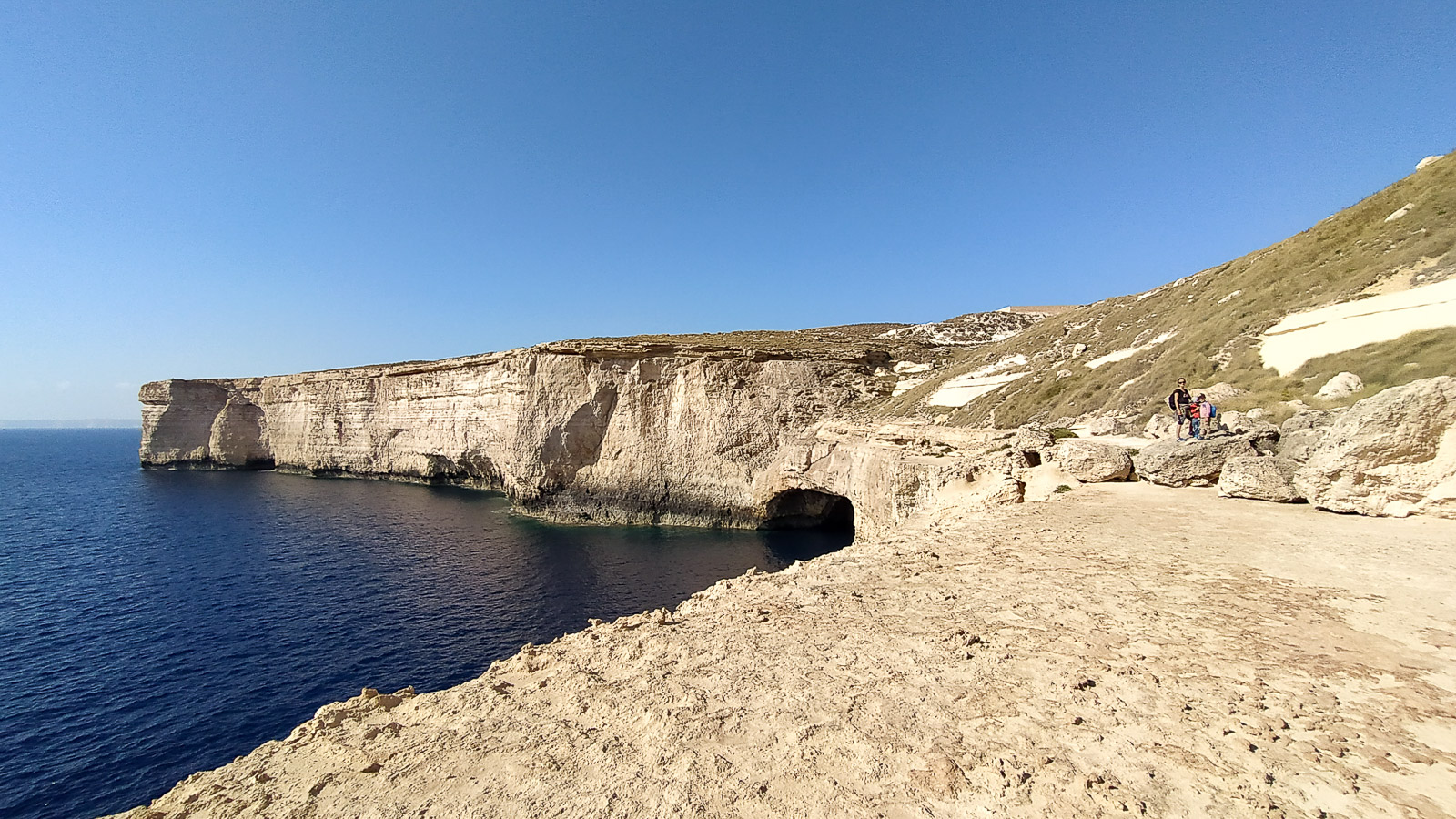
I marked the place we reached with a pin, and the view looked like this:
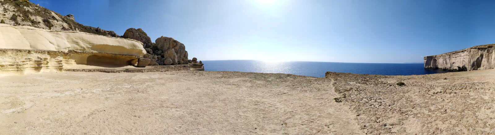
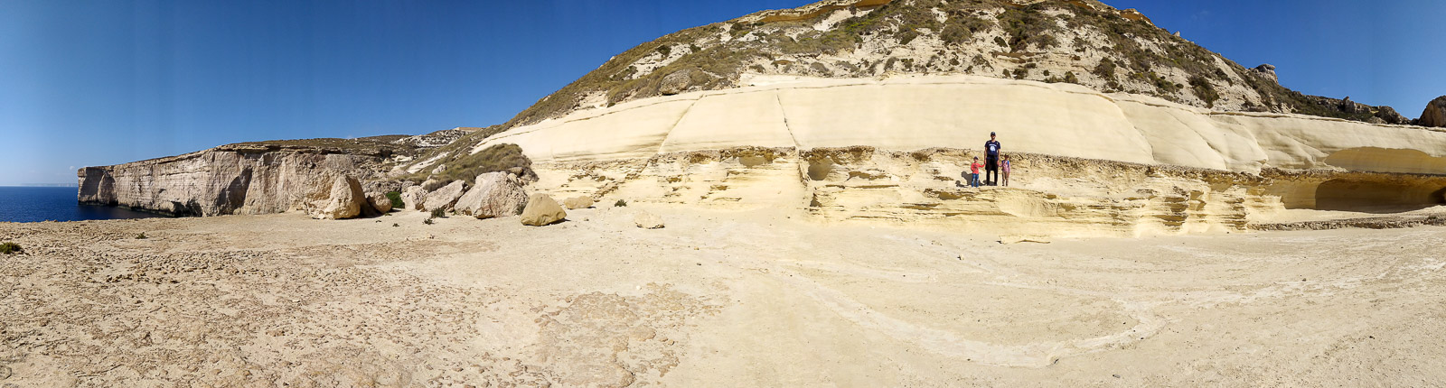
The rest of the route turned out to be too dangerous for the four of us.
The route from Migra l-Ferha to Ras id-Dawwara
For us this route started at a car park reached by a newly paved road. The drive to that point is an experience in itself. The hill rising in the distance looks like Vietnamese rice terraces or a Tuscan landscape.
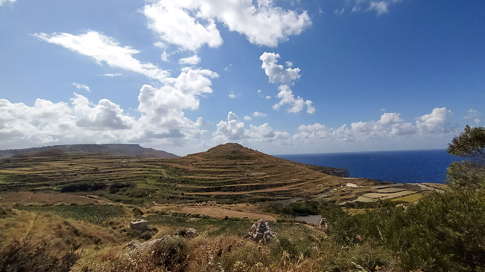
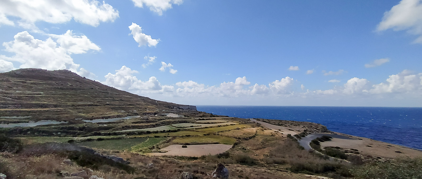
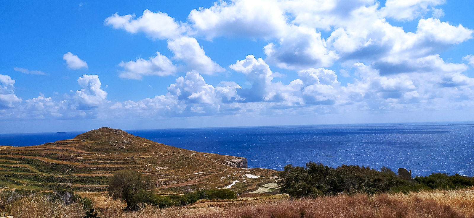
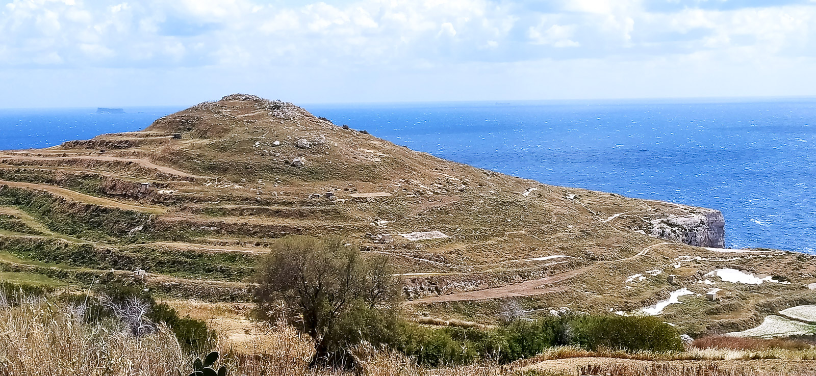
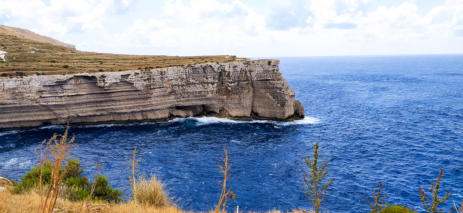
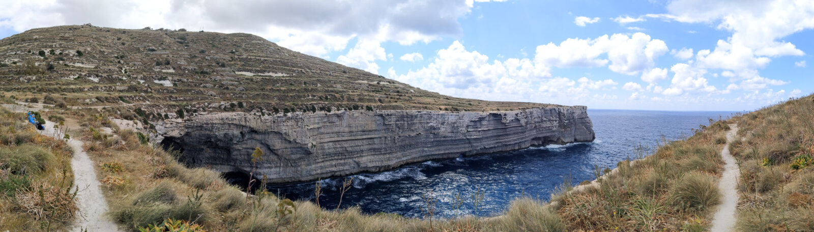
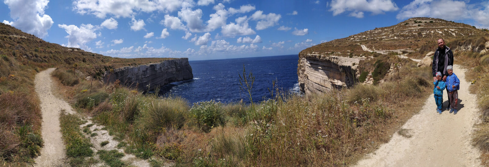
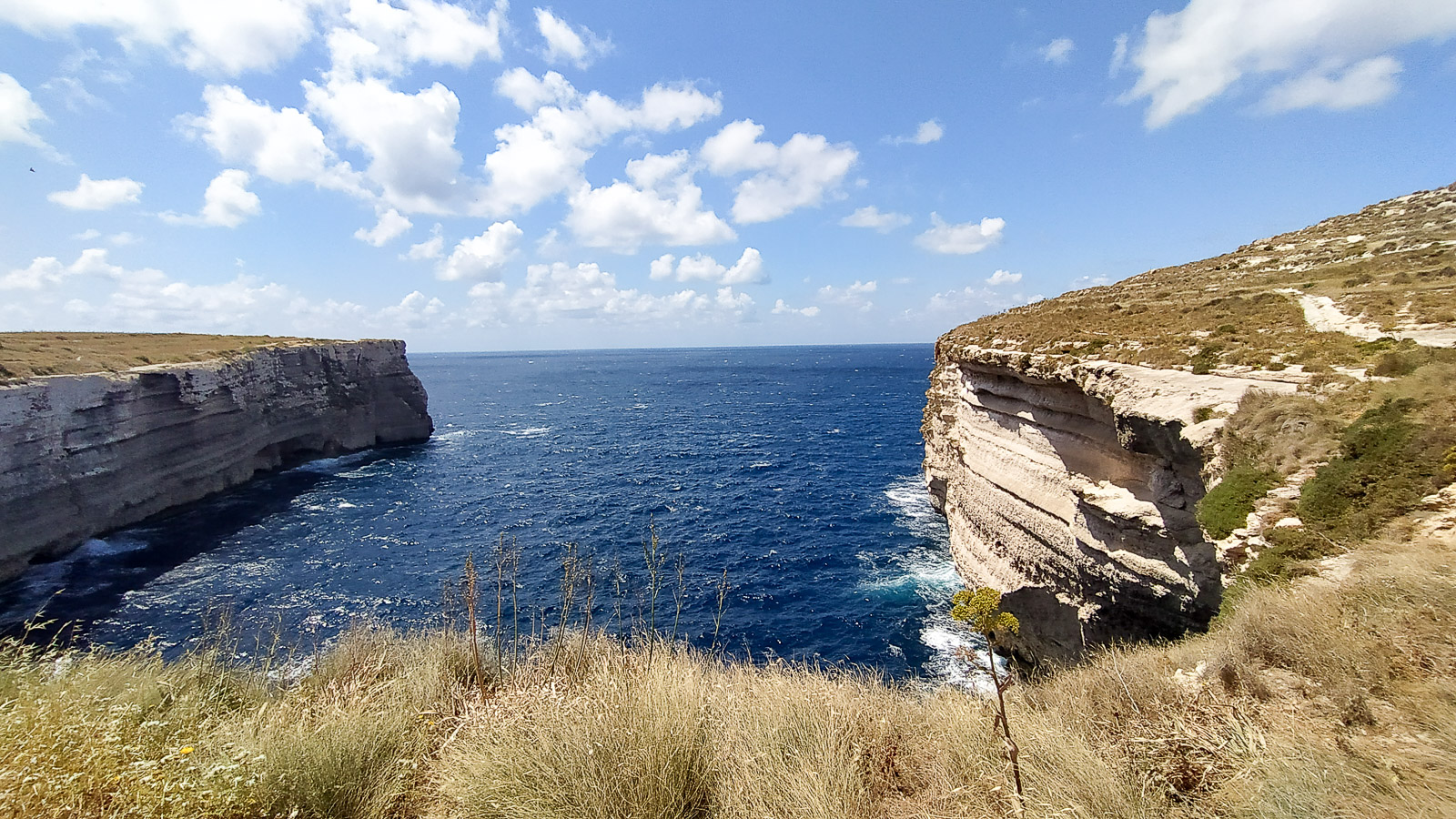
From the car park, once your eyes have had their fill of the endless deep-blue sea, we recommend heading right (with the sea in front of you). After a walk of a dozen or so metres you can find a way down, sometimes steps cut into the rock, to a so-called inlet, which has been a lifesaver for sailors seeking shelter from storms among the cliffs of this part of Malta.
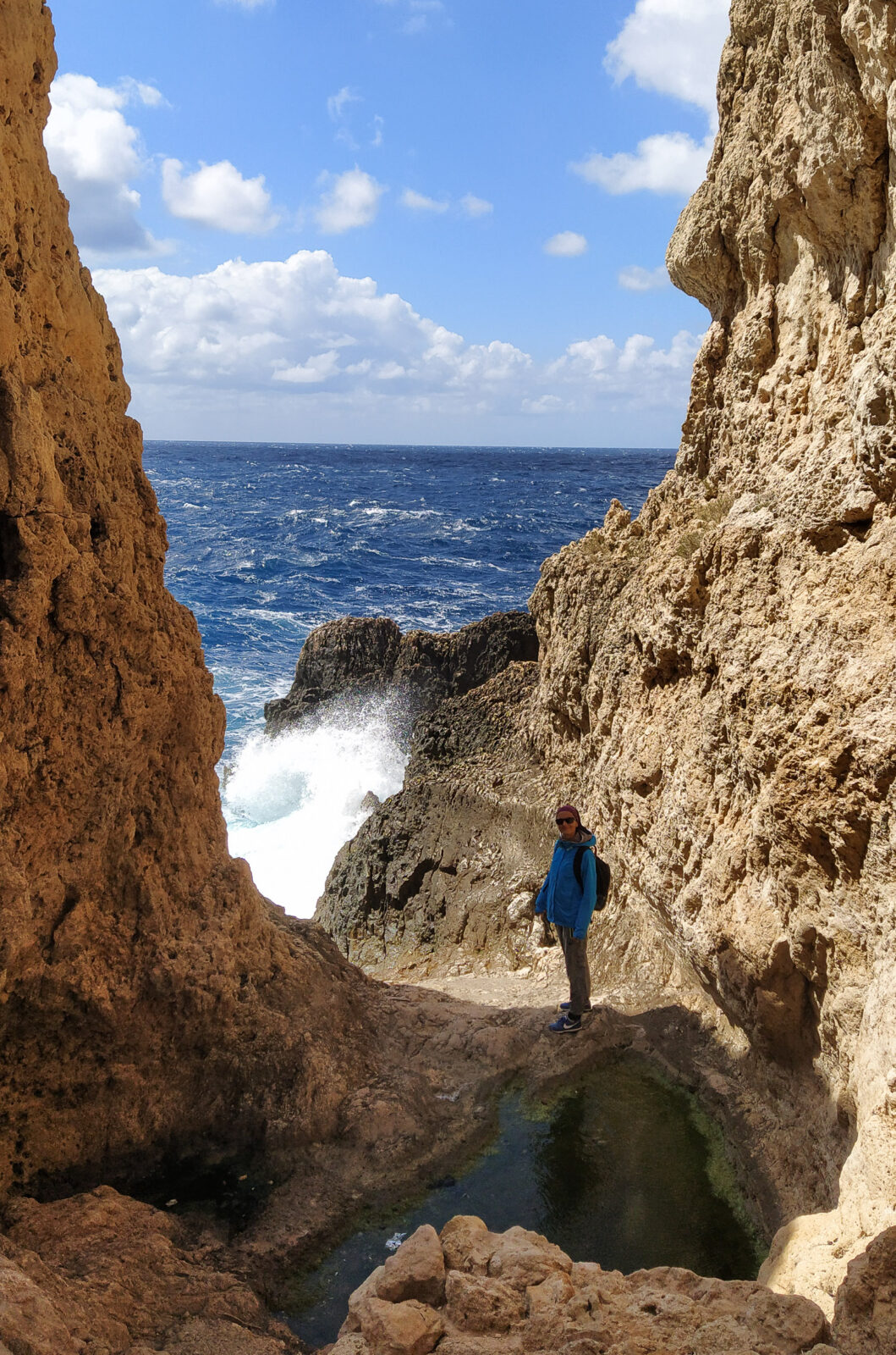
The view around the corner is amazing! A rough sea, let alone a storm, must make it even more dramatic.
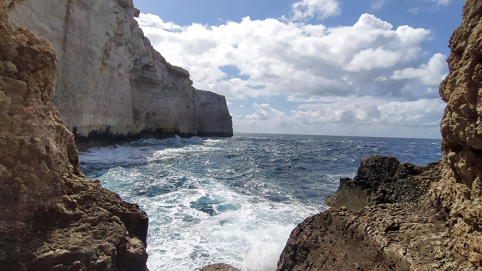
Heading left from the car park, on the other hand, there is a calm walk along flat cliffs towards the picturesque Ras id-Dawwara (a high cliff with a double sea cave).
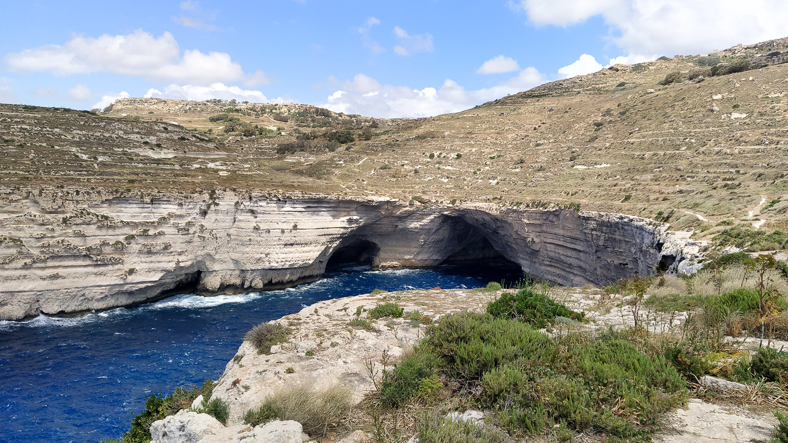
Ghar Lapsi Divesite
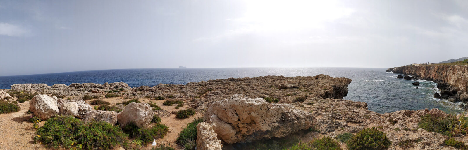
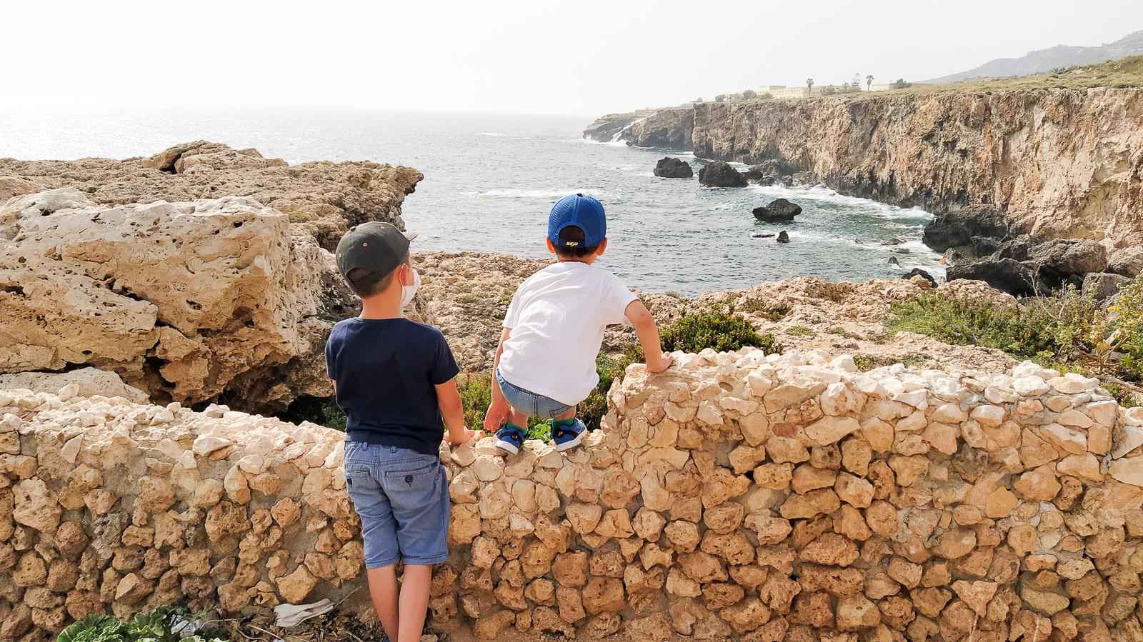
Ghar Lapsi Divesite is a great place for active families with children. The little bay with caves works like a natural pool. From the terrace you can admire the distant sea, and also keep an eye on the younger members of the group swimming.
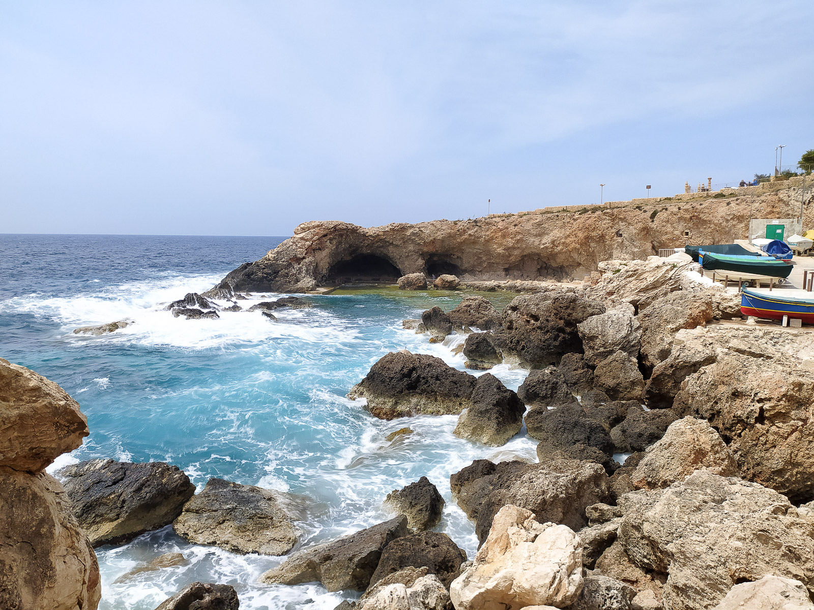

Also, from the car park there are trekking paths, though they are not recommended tourist trails because of the crumbling cliffs and erosion along this part of the coast – as the signs warn.
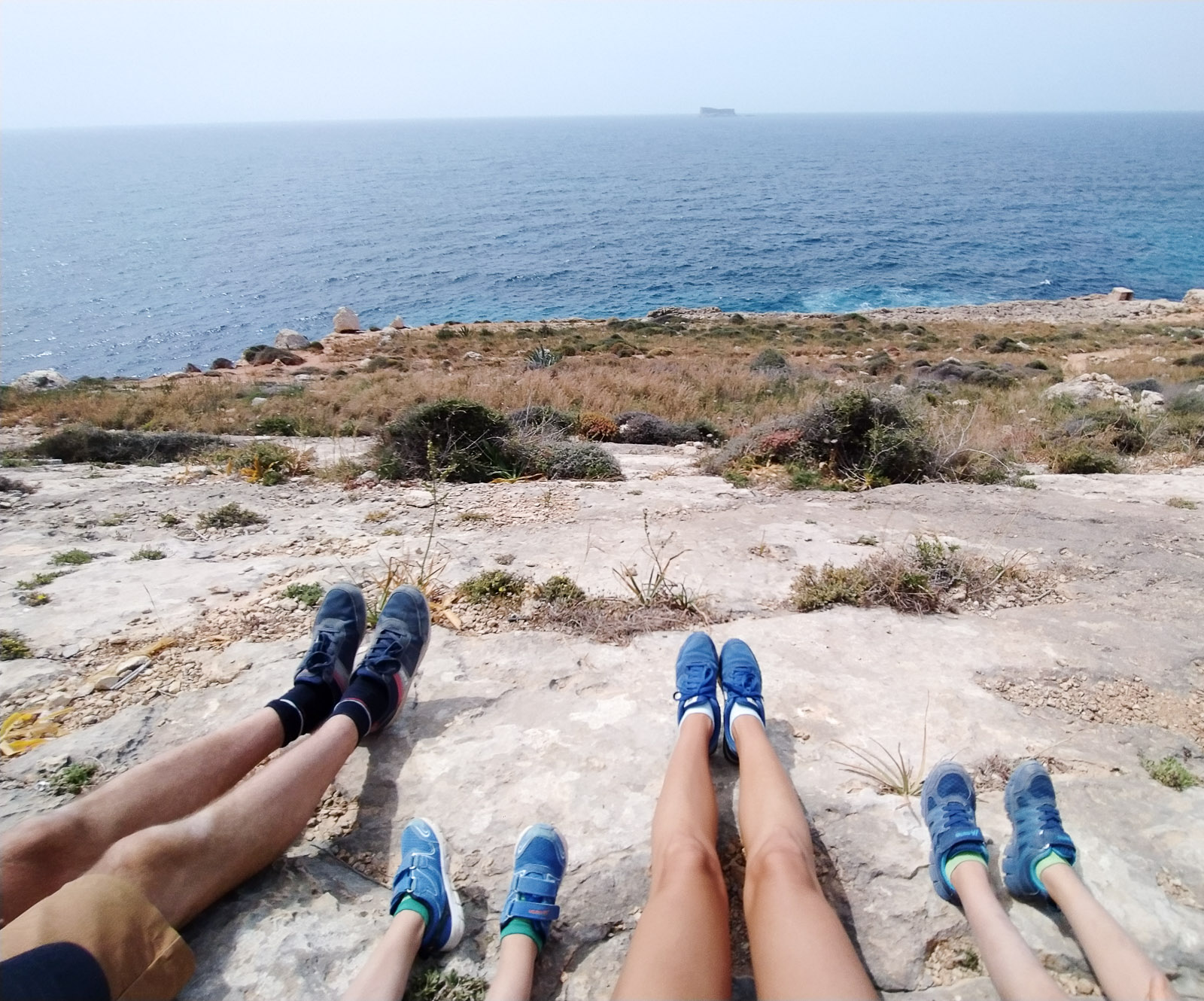
The views with Filfla (an uninhabited islet in the Maltese archipelago) in the distance are unique.
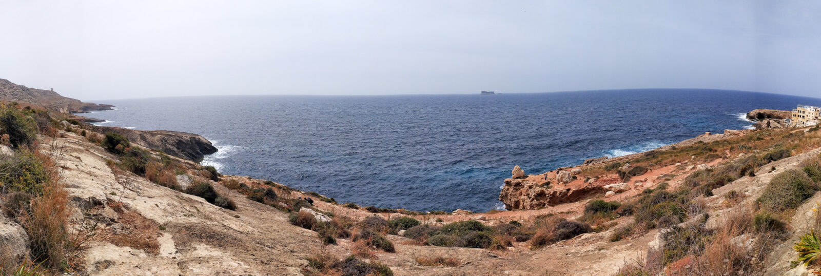
From the car park you can also walk to Ghar Lapsi tower in under 10 minutes; it is easy to spot from the road leading to the swimming spot.
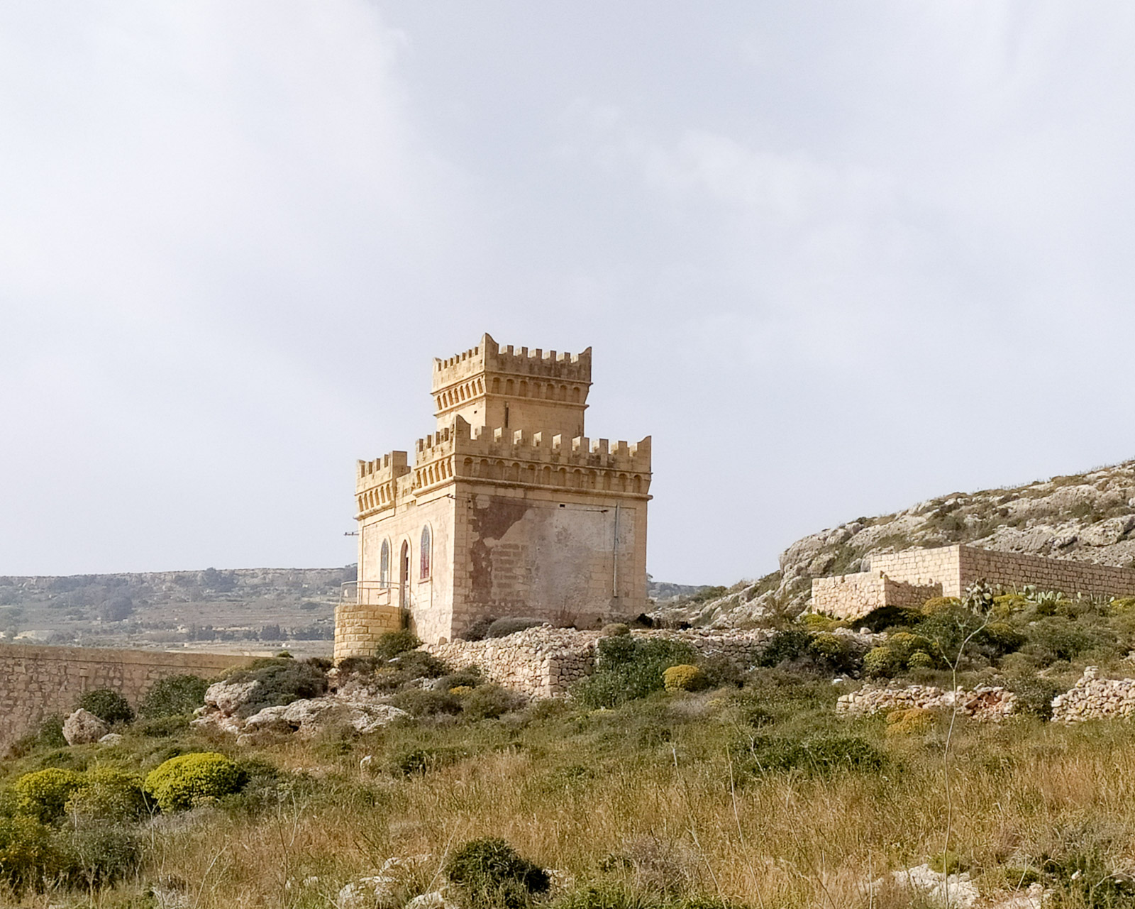
As well as the swimming pool area, trails and a restaurant, there is a playground, a picnic and BBQ area, and toilets. From the playground there is a “picturesque” view of a “waterfall”, which turns out to be water being discharged from a treatment plant into the sea.
Wied il-Bassasa
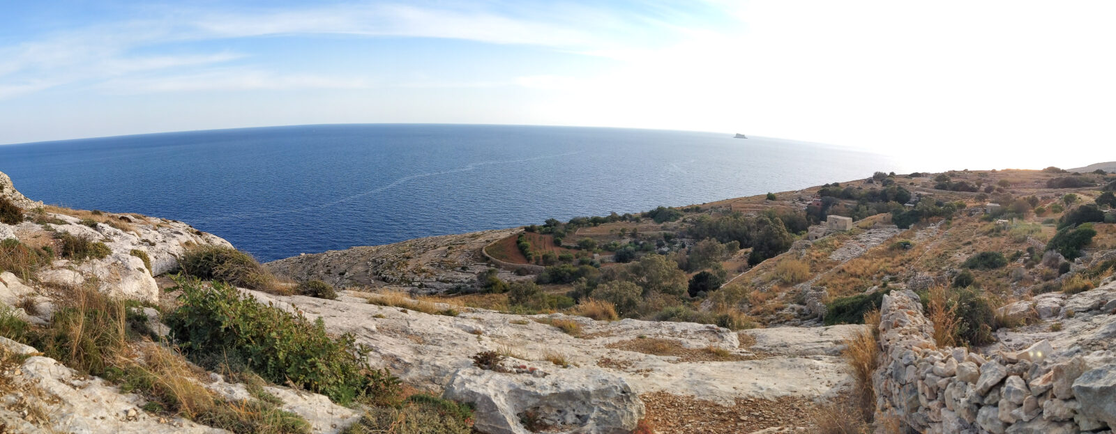
It is worth wandering along the roads – rather narrow in this area – between the farms of always friendly farmers to find this place. The walking paths (definitely not trails) in this part of Malta turned out to be little used, and some surely being discovered for the first time.
Playground behind the church in Mellieha
“Hilly” Mellieha has given us spectacular views more than once. Picturesque landscapes often surprised us in the most unexpected places. The photos below were taken from the playground behind the church in Mellieha.
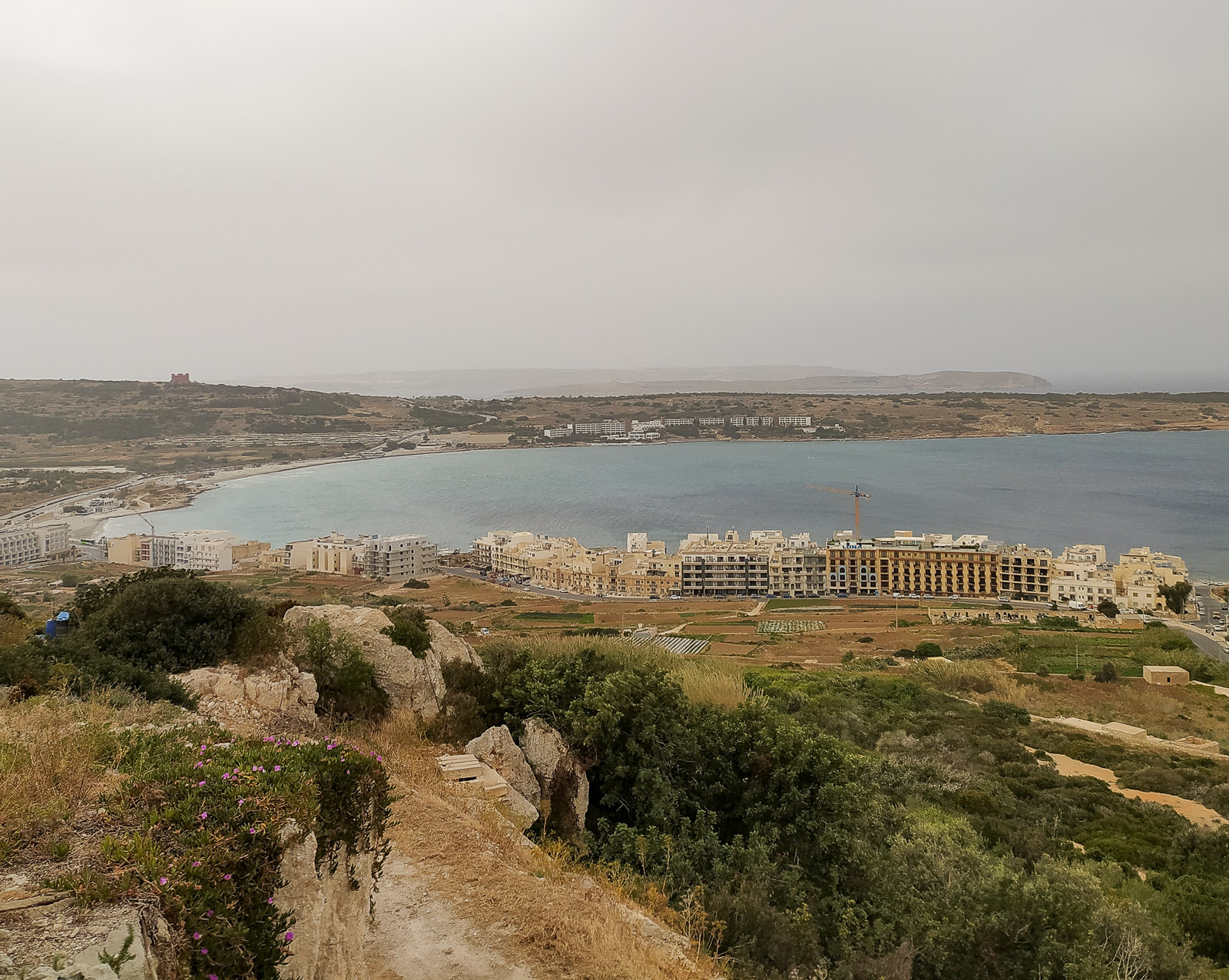
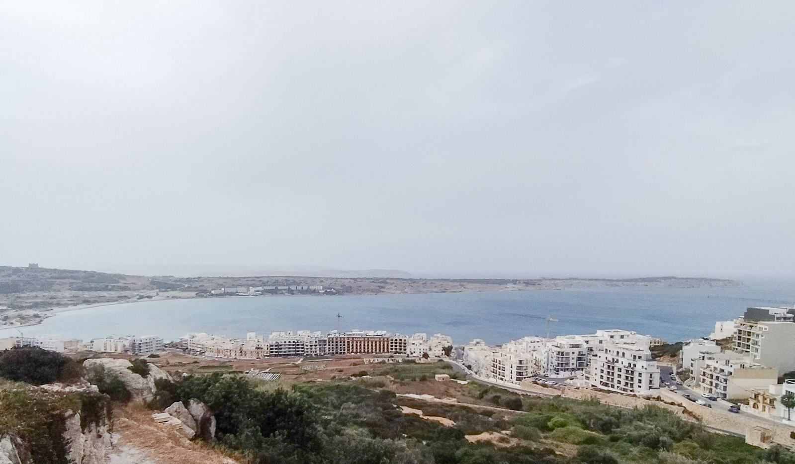
Imgiebah Beach
To reach Imgiebah Beach you need to take a longer walk, leaving the car near Selmun Palace and following the path parallel to Triq Selmun. Locals in high-clearance cars park almost right by the beach. Our experience of walking in Croatia puts us off off-road driving. A walk through gardens and farmland, with the coast drawing closer as you go, is hard to beat.
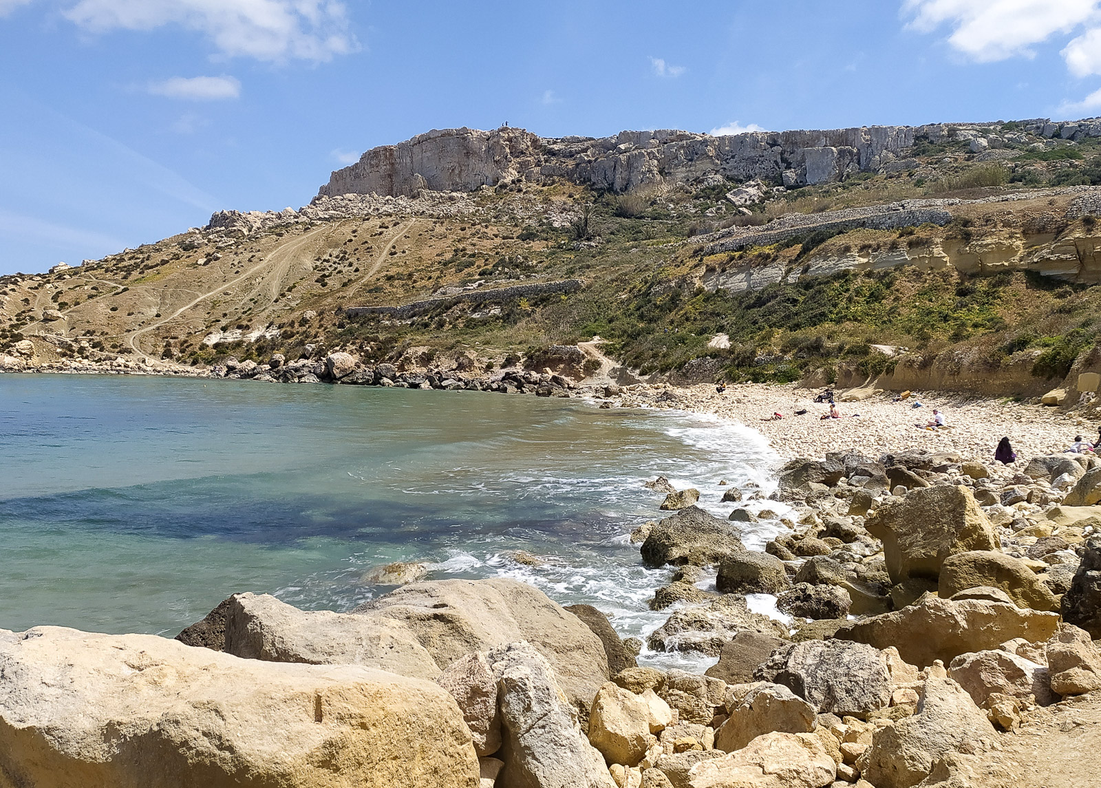
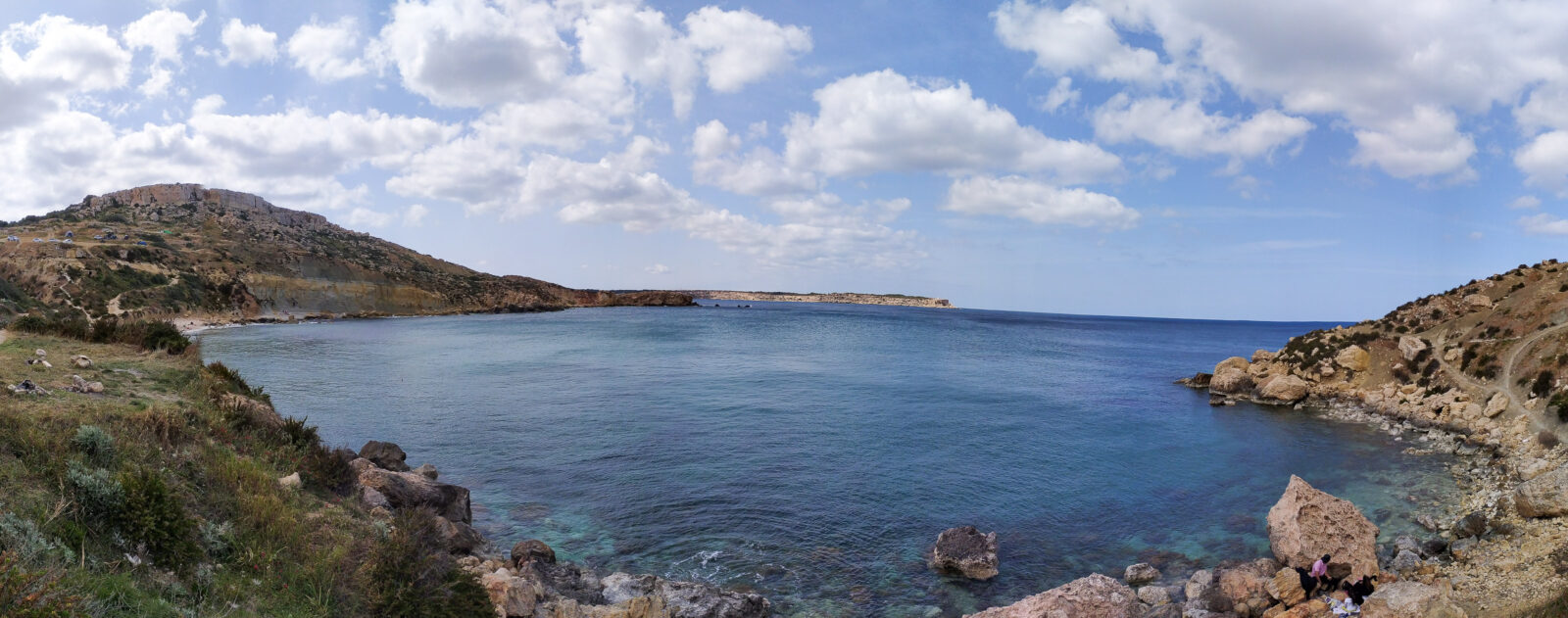
Paths can be seen on the hills around the beach, but we did not walk towards Fort Campbell, although tourists were coming to the beach from there.
Another time we could not reach Imgiebah Beach from the Mellieha coast via the Ras il-Griebeġ headland – a farmer’s private property stopped us.
Xemxija Hill Heritage Walk
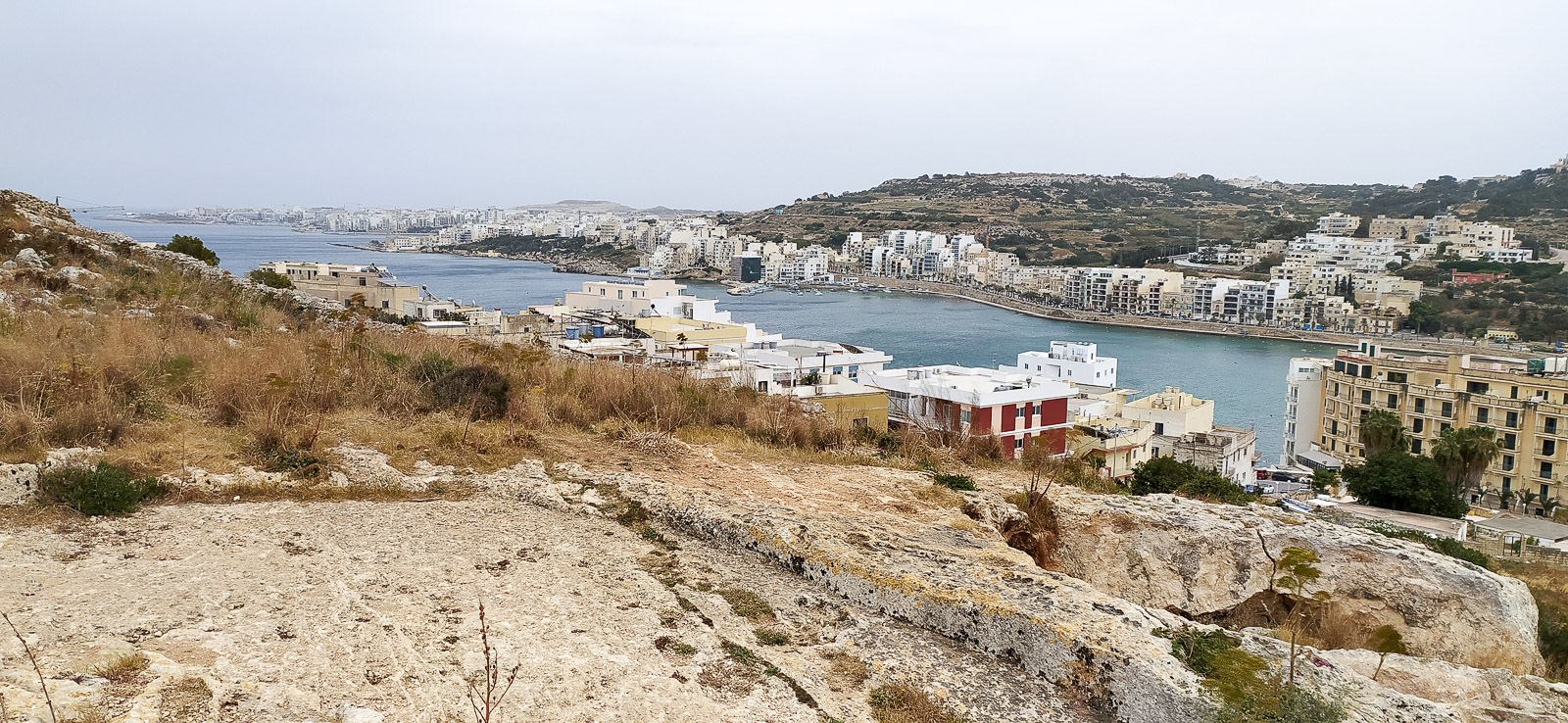
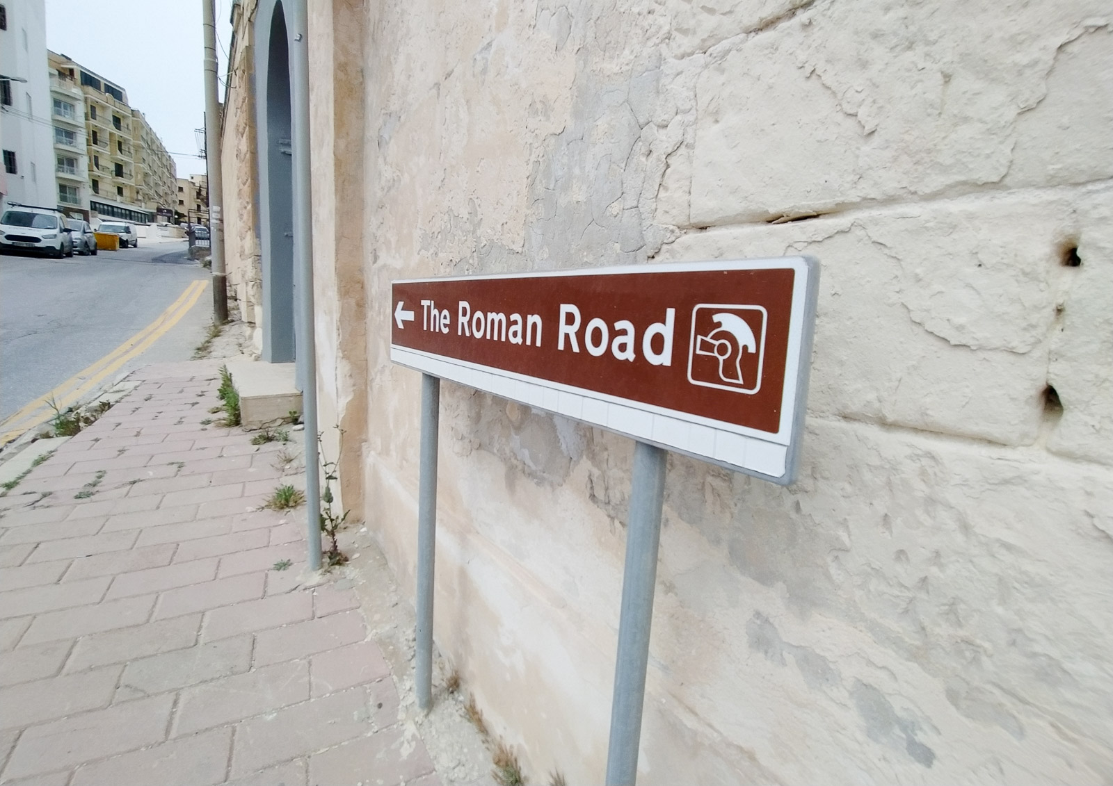
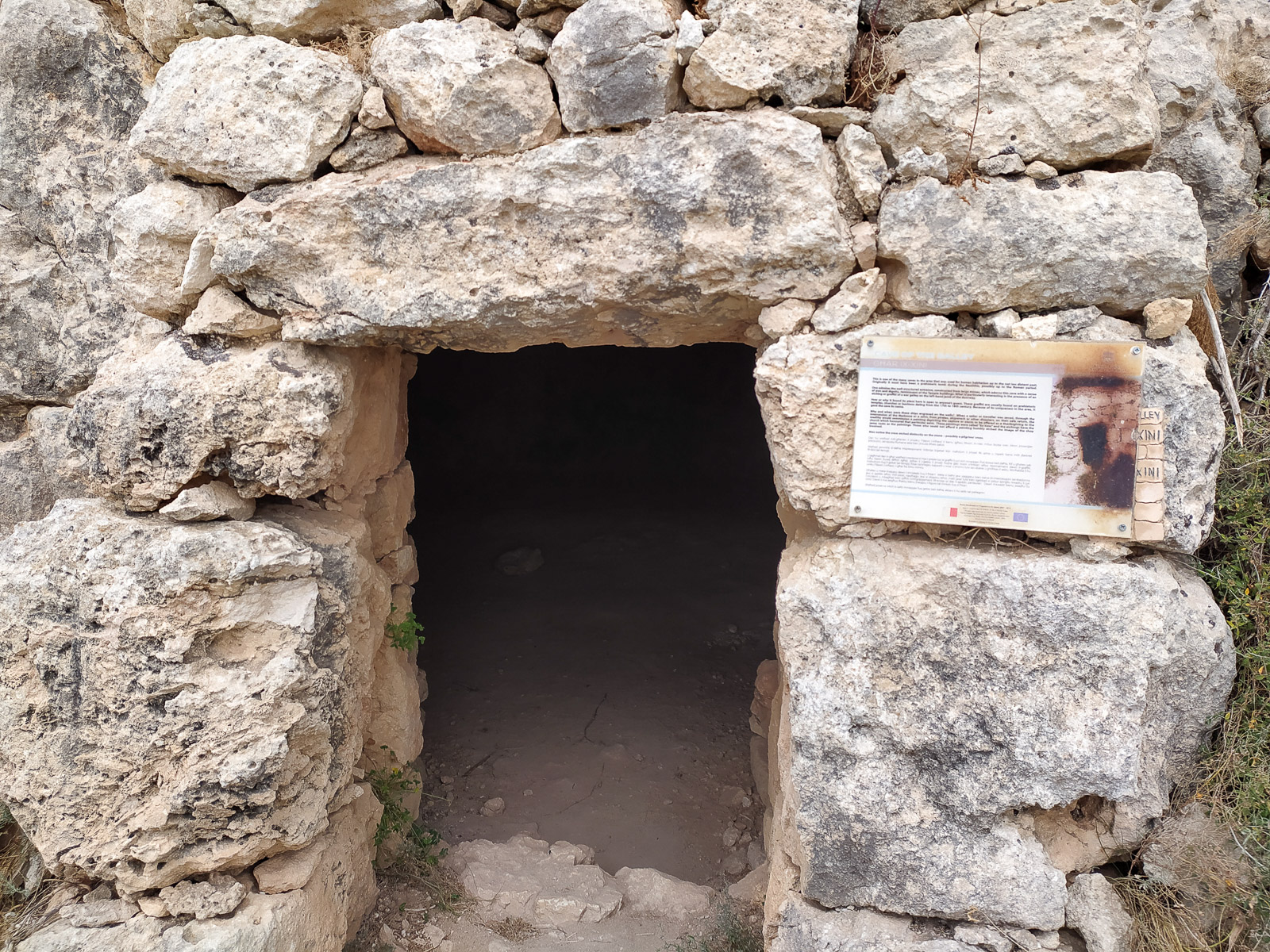
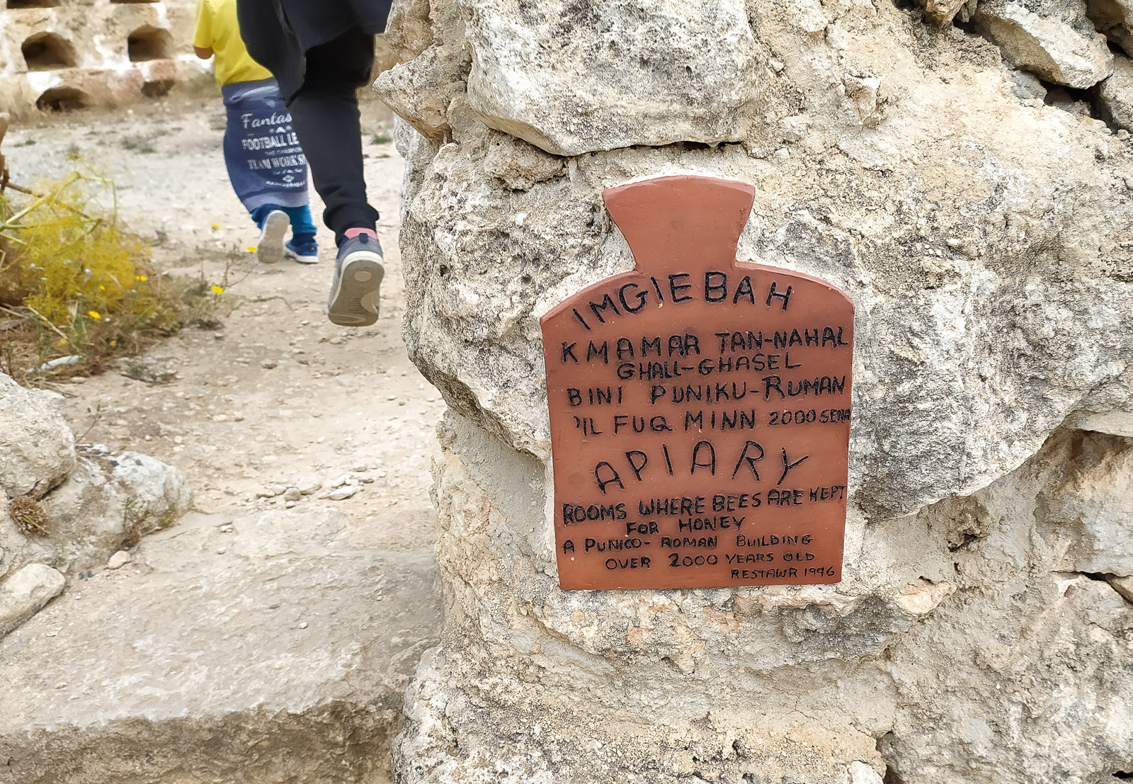
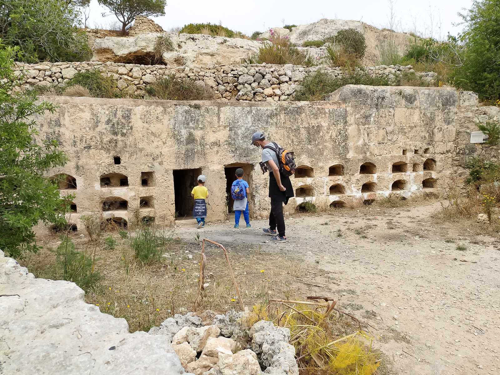
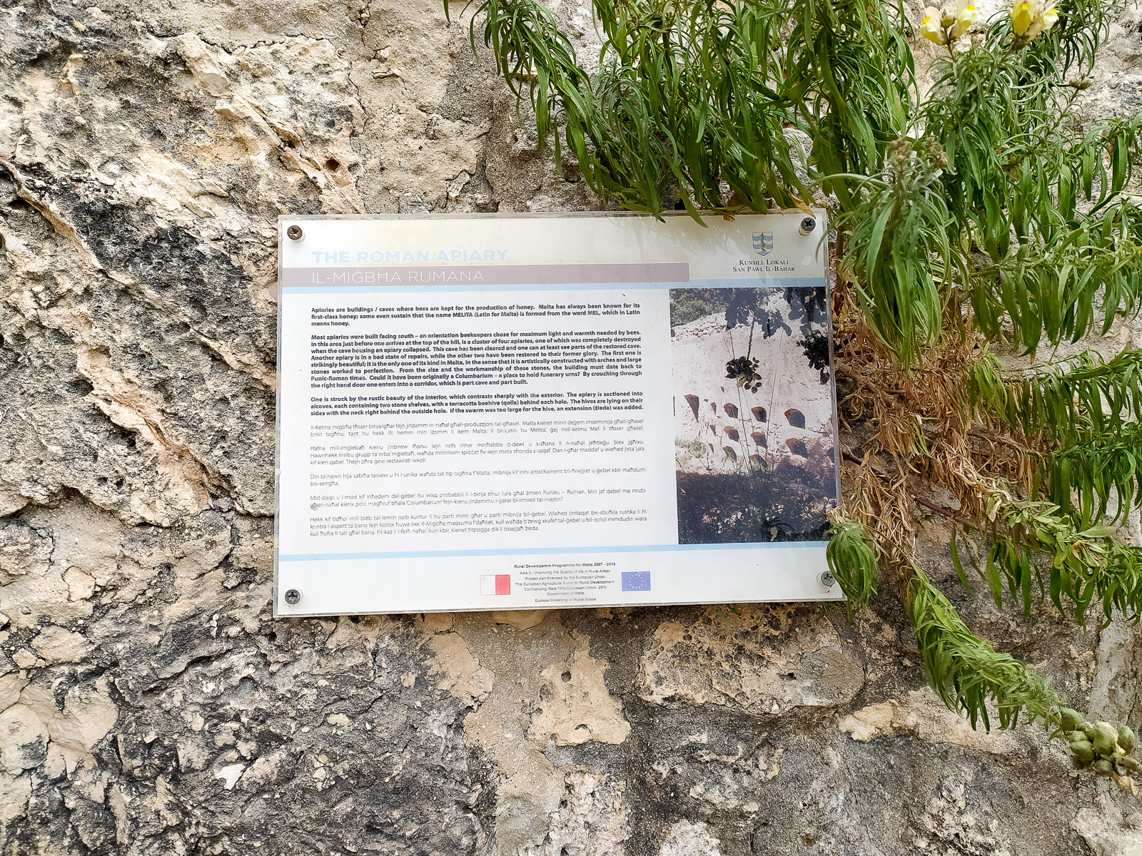
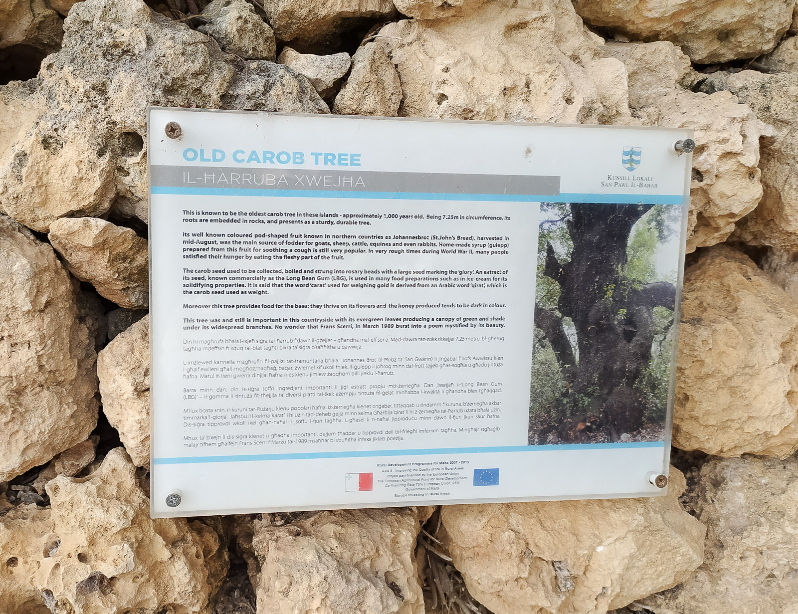
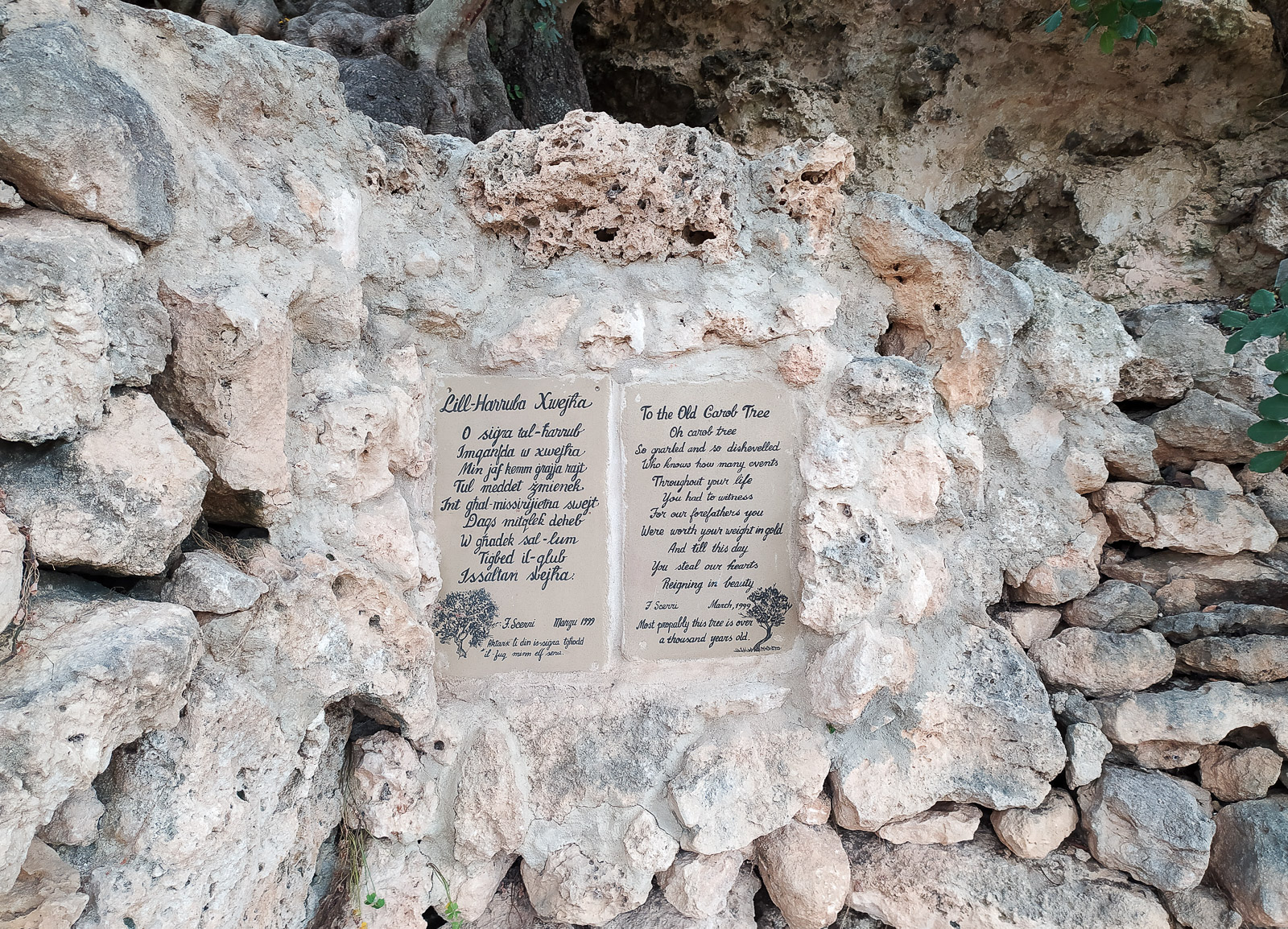
The historic ‘Roman Road’ route turned out to be not only a history lesson (Punic tombs, the remains of a prehistoric temple, Roman apiaries) but also a place with lovely views (St Paul’s Bay – San Pawl il-Bahar).
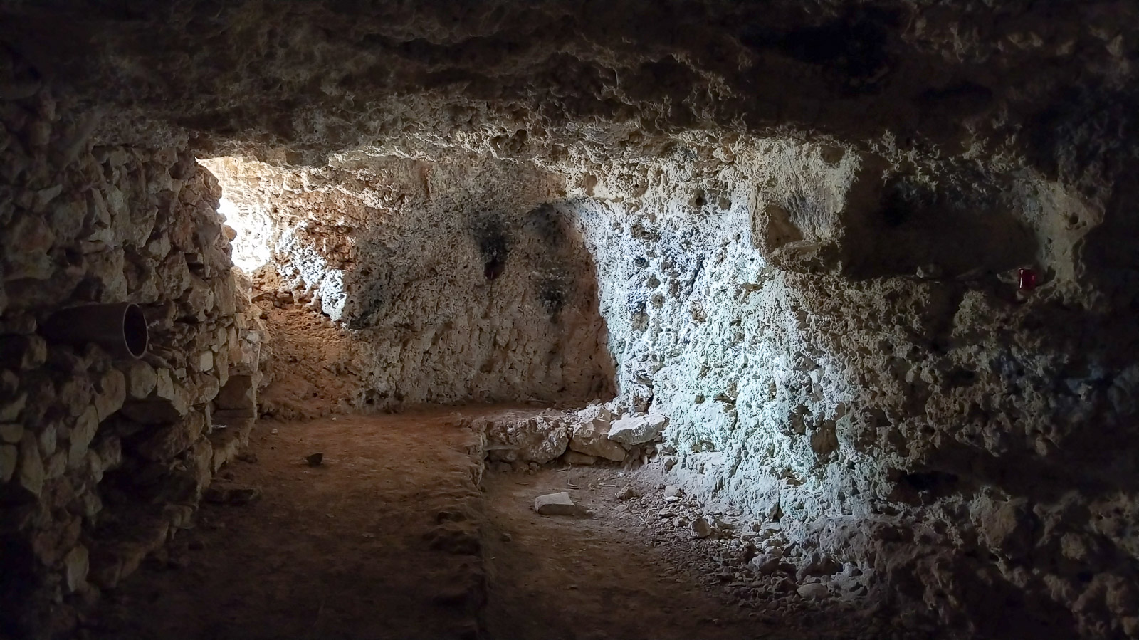
Ta Kalanka Sea Cave
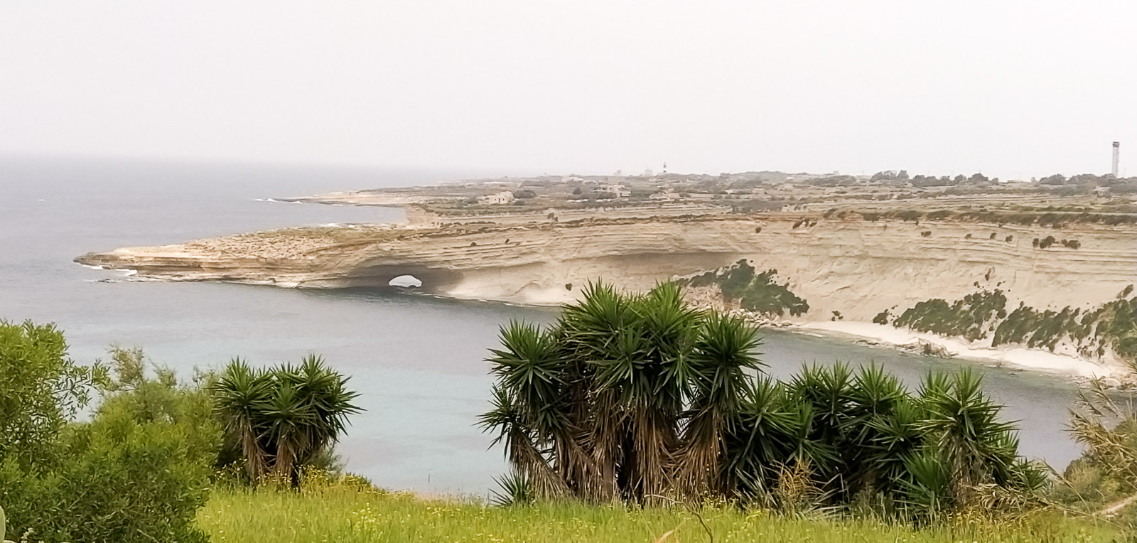
The landscape around Ta Kalanka Sea Cave is dramatic. When we visited, it was quiet and peaceful. The road leads right up to the viewpoint and the swimming spot.
St. Peter’s Pool
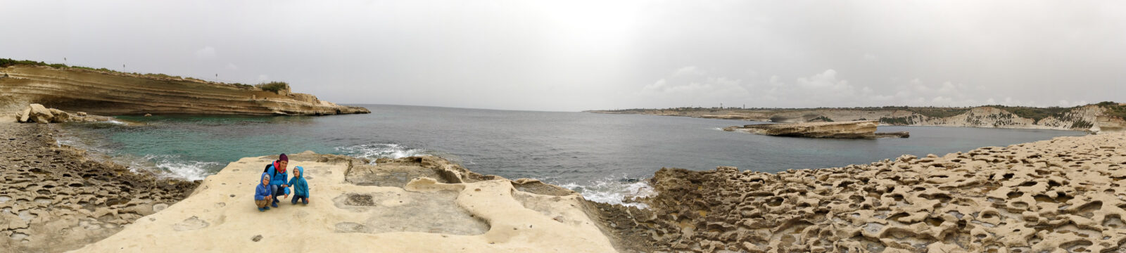
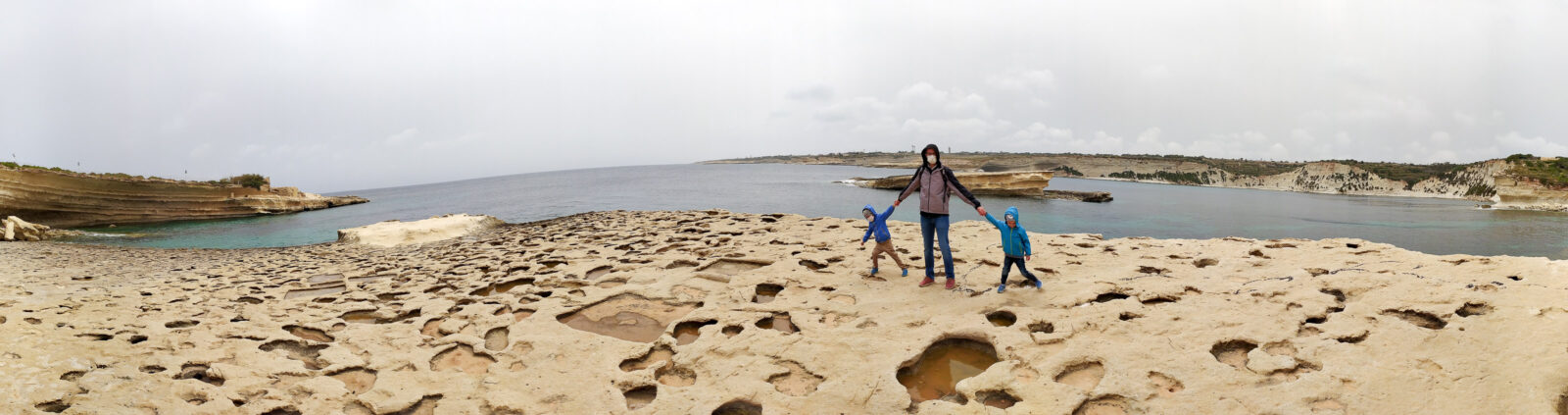
St. Peter’s Pool is a favourite with young people – for the jumps into the sea pool and the flat rock ledges that are comfortable to lie on. From the car park it takes about 5 minutes on foot over the surrounding hills to reach the swimming spot.
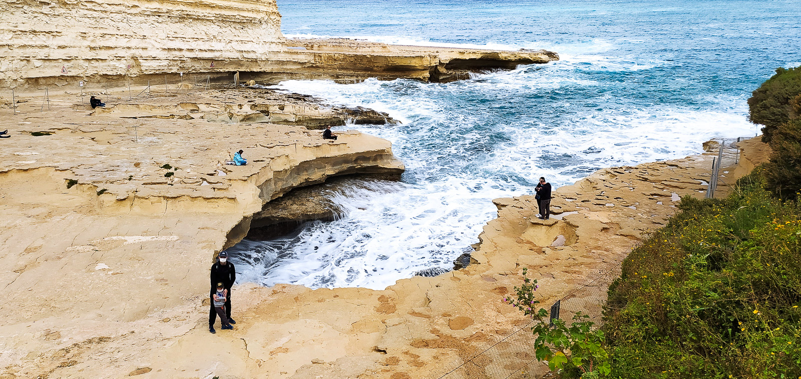
We were much more taken with the views over Il-Kalanka.
Il-Kalanka
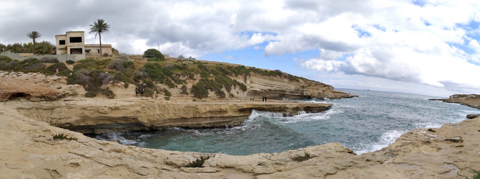
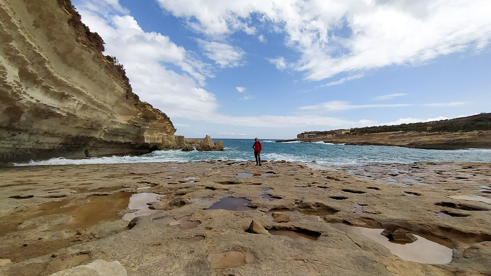
The Maltese coast is special. More posts about Malta are coming soon.