Compiled with the help of artificial intelligence, based on Spanish-language information. Source below the article.
A saucer-shaped cloud over Tenerife
The sky over Tenerife produced an unusual and striking sight this Saturday, drawing attention for its peculiar shape. An enormous cloud with several superimposed layers, resembling a flying saucer, appeared on the horizon in an image reminiscent of science fiction. Its appearance coincided with the approach of low-pressure system Bruna to the Canary Islands, which is already bringing about a change in weather conditions across the archipelago.
What is a lenticular cloud?
The formation photographed displays the characteristics of a lenticular cloud, also known for its UFO-like appearance. It is an atmospheric phenomenon that usually occurs when a current of humid air crosses a mountainous area and meets terrain that forces it to rise. As it ascends, the air cools and the water vapour condenses, giving rise to the cloud. Subsequently, when the current descends and warms again, the moisture evaporates. This process, which can repeat itself at different layers of the atmosphere, generates those smooth, superimposed structures that appear to remain motionless in the sky.
Strong winds driven by Bruna
The appearance of these clouds may be linked to the atmospheric conditions accompanying Bruna. The low-pressure system is driving an episode of south-westerly winds in the Canary Islands, particularly intense in the high and exposed areas of the mountainous islands. The Government of the Canary Islands has activated the wind alert in Tenerife and the rest of the western islands, as well as Gran Canaria.
This Saturday, gusts are expected to exceed 70 kilometres per hour on the central peaks of Tenerife, while on Sunday they could surpass 90 kilometres per hour in the most exposed areas. These air currents, on interacting with Tenerife’s terrain, can favour the formation of mountain waves and, under the right humidity conditions, give rise to lenticular clouds.
An indicator of airflow, not necessarily rain
Although these formations usually appear in situations of intense wind, their presence does not necessarily mean that rain will fall where they are observed. Lenticular clouds are, above all, an indication of the circulation of air in the atmosphere and of the presence of waves associated with the terrain. They can also be related to turbulence at altitude, especially in mountainous areas.
What’s happening in the Canaries – straight to your phone
News, weather alerts and practical updates – direct from the islands, in English. We live here and know what’s going on – before the international media catch up. Everything lands on our WhatsApp channel – no middlemen, no algorithm. Curated for families, expats and travelers.


Tenerife weather: sunshine and 26C for Sunday 22 November
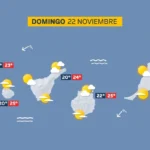
Sunday: sunshine, scattered cloud and a light calima

Tenerife weather: Stable skies and a slight lift in temperatures
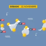
Saturday: sunshine and a calm Atlantic

DGT unveils new colour-coded winter road warnings
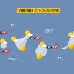
Friday: calm skies and a building Atlantic swell
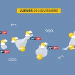
Thursday: scattered cloud and a building Atlantic swell

British man, 23, dies after being pulled from Tenerife sea

Tenerife weather: Sunshine and 27C forecast for Wednesday