Compiled with the help of artificial intelligence, based on Spanish-language information. Source below the article.
Storm Charles brings unsettled weather to the Canary Islands
Storm Charles is approaching the Canary Islands and will begin to bring unsettled weather to the archipelago. The State Meteorological Agency (Aemet) has announced that on Tuesday there are likely to be heavy showers on the mountainous islands, which could be very heavy on La Palma and Tenerife, with temperatures unchanged or slightly falling and light south-westerly winds that will increase to moderate with strong intervals and very strong gusts.
Strong winds of up to 90km/h forecast
Intervals of strong wind and very strong gusts are expected on the north-west and south-east slopes of the mountainous islands, and gusts of up to 90km/h are not ruled out on the summits of La Palma and Tenerife at the end of the day. On the summits, north-west slopes and high areas of the south and south-east slopes, strong south-westerly winds will intensify from midday, when very strong gusts are expected that could locally exceed 90km/h by the end of the day.
Rough seas and reduced visibility
As for sea conditions, west or south-west winds of force 2 to 4 or 3 to 4 are forecast, locally variable of force 1 to 3, slight or moderate swell, and north-westerly groundswell with waves of 3 to 4 metres in height, as well as local showers and moderate visibility.
Cloudy skies and persistent showers
Cloudy intervals are expected on south-facing slopes. Elsewhere, skies will be slightly cloudy, tending from midday to become cloudy in inland areas and generally cloudy from the afternoon, when showers are expected that may be heavy and persistent on the south and west slopes. These are not ruled out from being locally very heavy in these areas. Temperatures will see little change or a slight fall. Light south-westerly winds will increase to moderate from midday, with strong intervals at the south-east and north-west extremes, where very strong gusts are not ruled out.
Outlook for the western islands
On the western islands, cloudy intervals are expected on south and west slopes with a low probability of weak and occasional rainfall. Elsewhere, skies will be slightly cloudy, tending to cloudy intervals from the afternoon. During the final hours of the day, showers are expected that may be heavy and persistent on the south and west slopes. Temperatures will see little change or a slight fall. Light south-westerly winds will increase to moderate in the afternoon, becoming stronger at the eastern and western extremes. From the afternoon, on summits and high areas of the north-west and south-east, winds will increase to strong and very strong gusts are likely in these areas.
What’s happening in the Canaries – straight to your phone
News, weather alerts and practical updates – direct from the islands, in English. We live here and know what’s going on – before the international media catch up. Everything lands on our WhatsApp channel – no middlemen, no algorithm. Curated for families, expats and travelers.


Tenerife weather: sunshine and 26C for Sunday 22 November
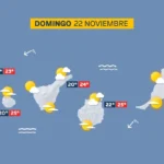
Sunday: sunshine, scattered cloud and a light calima

Tenerife weather: Stable skies and a slight lift in temperatures
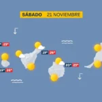
Saturday: sunshine and a calm Atlantic

DGT unveils new colour-coded winter road warnings
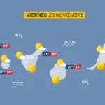
Friday: calm skies and a building Atlantic swell
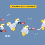
Thursday: scattered cloud and a building Atlantic swell

British man, 23, dies after being pulled from Tenerife sea

Tenerife weather: Sunshine and 27C forecast for Wednesday